


Mountainbike tour
Stalanzer Alm-Tour
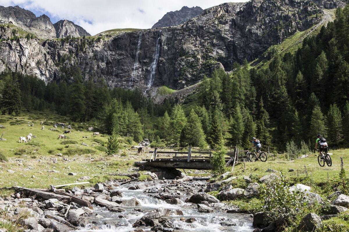

From the starting point at the Ried information office, the route first runs through the village of Ried and along the cycle path parallel to the 7109 Ried-Fendels connection (page 16). Passing meadows and farms, the route continues leisurely uphill
towards Gfrans, where route 7109 branches off to the left and the Stalanzer Alm Tour continues straight ahead on a forest path. Slowly, the roar of the Stalanzer Bach stream becomes audible, which also becomes visible just a little later deep down in the gorge, surrounded by the massive Schlanterkopf (2519m) and Zirmesspitze (2945m) mountains. The path now runs parallel to the Stalanzer Bach stream, where the road becomes increasingly steep and demanding and requires a high degree of technical skill. Once you have reached the small bridge, it's time to climb the last kilometre to the Stalanzer Alm. Embedded in the small plateau, you then come to the Stalanzer Alm, which is open in summer and offers breathtaking views of the Anton Renk Falls.
view of the Anton Renk Falls invites you to linger and enjoy. It should be noted that the same way back down is also very steep, which requires good riding skills.
tour1
1063m
9.12km
Highest point
1845m
Start point
Ried
End point
Stalanzer Alm


