


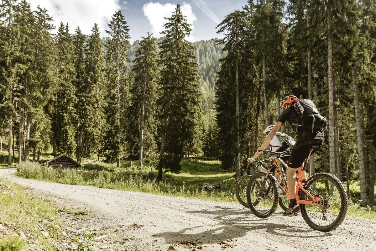
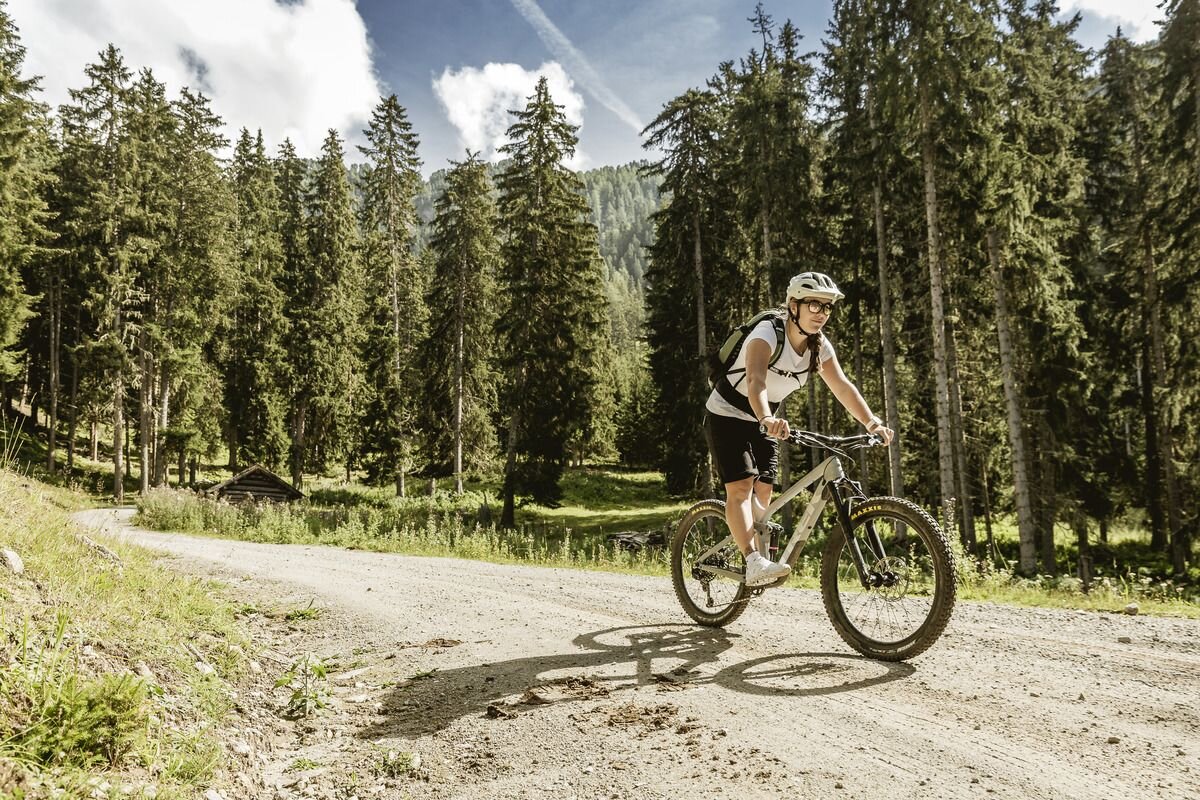
Mountainbike tour
Obere Alm - Tour


This tour has it all from the beginning: from the starting point in Tösens, the route climbs steeply uphill past the Calvary Chapel (slightly off the beaten track) to the Übersachsen hillside terrace, which is steeped in history and bears witness to the first settlements in this area. There you circle a unique mountain meadow
mountain meadow along the edge of the forest and continue to Langhaus, the last two houses in Übersachsen. Here you have the choice of shortening the tour early on or tackling the following "open-end" ascent
in the direction of Obere Alm. After the unmanaged Langezbergalpe, the increasingly challenging path turns into a cart track and winds its way along the slope with a view of the Pleiskopf (2460m)
along the slope. Here you ultimately decide for yourself how far the path takes you. The return route leads back to the Langhaus junction, where you turn left and continue to Tösens. Past the many hay barns and constant ups and downs, you cross the stream and change to the other side of the slope. The downhill forest path now leads to Ganden, where you change to the tarmac road and follow the last stretch to Tösens and back to the starting point.
tour2
1397m
23.6km
Highest point
2037m
Start point
Tösens
End point
Tösens


