


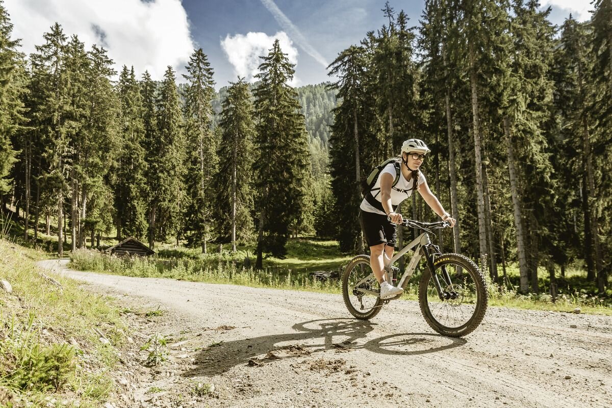
Mountainbike tour
7042 | Schweizrunde

Opening status | Closed
The tour starts at the so-called “Lochmühle,” not far from Gasthof Lamm. To warm up, the first few kilometers are a gentle downhill ride to the Stillebach stream, before the route to Norbertshöhe transitions into a mix of steep climbs and flat sections. The subsequent descent to the border station in Martina alternates between easy trails and short connecting road sections.From Martina, an easily navigable forest road leads toward Alp Tea. While the forest initially offers only sporadic views of the valley and the surrounding mountains, it gradually opens up as you gain elevation. This provides a new perspective on the area around Nauders from the Swiss side. On the way to Tschlin, you’ll also be treated to continuous, impressive panoramas of the valley and the mountains of the Engadin.The return route to the Inn follows paved roads and gravel paths. From Sclamischot, the route leads steeply uphill along a forest road to the Norbertshöhe / Schwarzer See intersection. From there, the route continues left on an easy path to the “green” border and finally descends gently to Norbertshöhe. The final section back to the starting point follows the same route as at the beginning of the tour.
tour2
1420m
30.48km
Start point
Nauders
End point
Nauders


