


753 | Kobler Alm - Gstalda
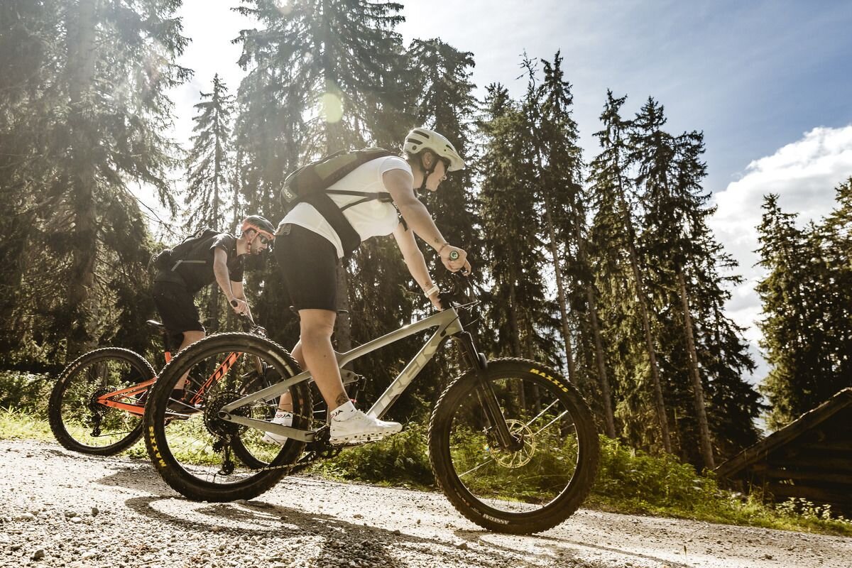
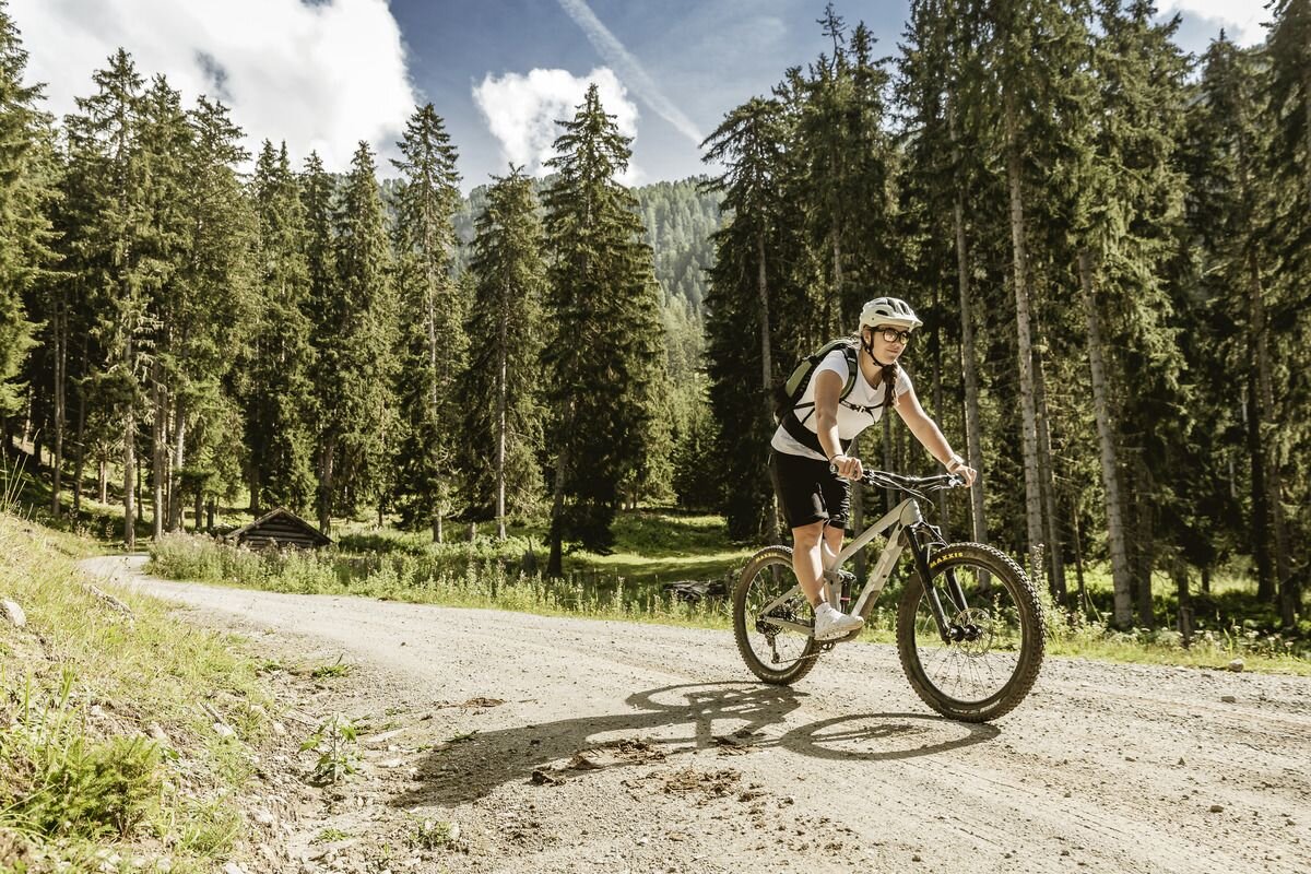


This tour starts from Pfunds and heads west on the tarmac road to the Kobler Alm. At the beginning, you should manage your resources well, as the first part is about 8 kilometres uphill and there are only a few natural breaks to catch your breath. Mostly through wooded areas and lush mountain meadows, you pass the villages of Vorderkobl and Hinterkobl and reach the Kobler Alm after around 950 metres in altitude. Here you can take a break on the sun terrace and enjoy the wonderful panorama of Pfunds and the surrounding mountains. The hut is open between mid-June and mid-September and offers a snack and homemade cheese. A few last metres in altitude still have to be covered, then it's directly on the Spiss - Pfunds municipal border via mountain meadow paths to the descent to the finish in the small hamlet of Gstalda.
Alternative return route: to get back to the starting point in Pfunds, you can cycle along the 3 hairpin bends down to Spisser Straße and follow this road (don't forget your bike lights for the tunnel) via Noggels to the Kajetansbrücke bridge and continue along the cycle path back to Pfunds.


