






















Hiking tour
Mataunkopf (& Ganderbildspitze)
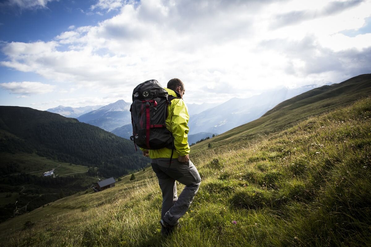

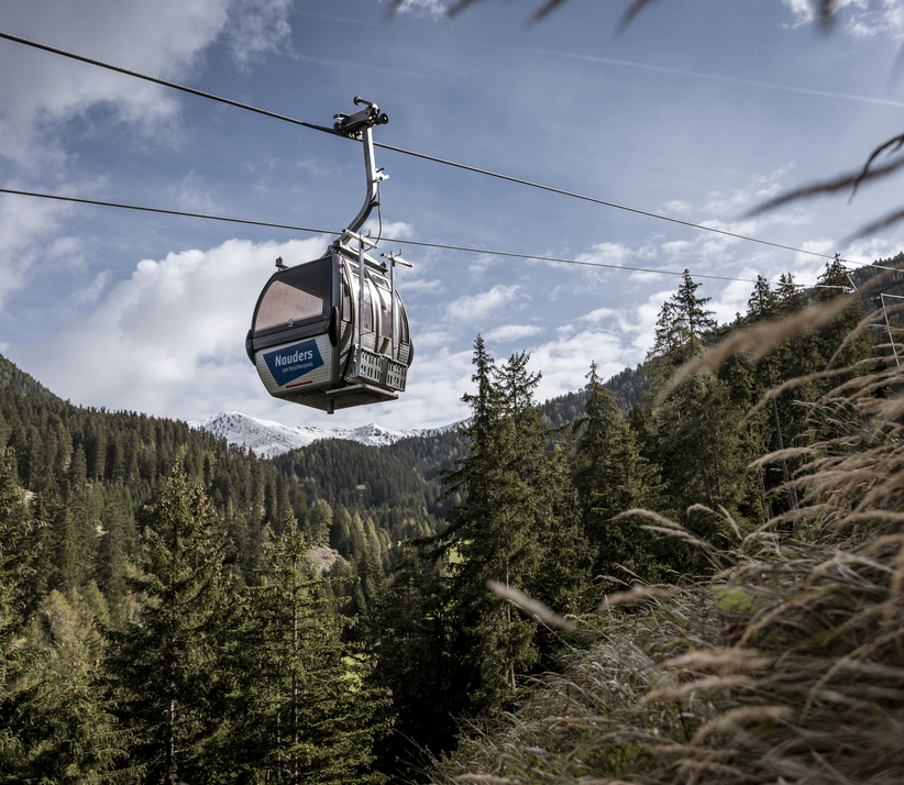
Starting from the Bergkastel mountain station, the summit hike leads along Hiking trails No. 20a and No. 20 via the Ganderbild to the Goldsee lakes. Now follow Route no. 32 over steep hairpin bends up to Pedrosscharte. Along the south-west ridge the route goes to the summit of the Mataunkopf (2,895 m).
In addition, experienced mountaineers can climb the Pedrossscharte to the Ganderbild peak (2,863 m). The beautiful summit cross was built by the Nauders mountain rescue service. The route marked as black requires sure-footedness and a head for heights. The descent leads past the old customs hut, over the Mataun pastures and through the quiet Saletztal (No. 21). Continue along Trail No. 23 to Piengalm. From there the route goes back to the Bergkastel mountain station (No. 19a). Another (longer) descent leads from Piengalm on Trail no. 19a to the mountain resort of Jochelius and from there across Holy Tree pastures on foot into the valley.
In addition, experienced mountaineers can climb the Pedrossscharte to the Ganderbild peak (2,863 m). The beautiful summit cross was built by the Nauders mountain rescue service. The route marked as black requires sure-footedness and a head for heights. The descent leads past the old customs hut, over the Mataun pastures and through the quiet Saletztal (No. 21). Continue along Trail No. 23 to Piengalm. From there the route goes back to the Bergkastel mountain station (No. 19a). Another (longer) descent leads from Piengalm on Trail no. 19a to the mountain resort of Jochelius and from there across Holy Tree pastures on foot into the valley.
tour1
7:0h
665m
15.7km
Highest point
2895m
End point
Nauders


