Hiking tour

Bergwerk Platzertal

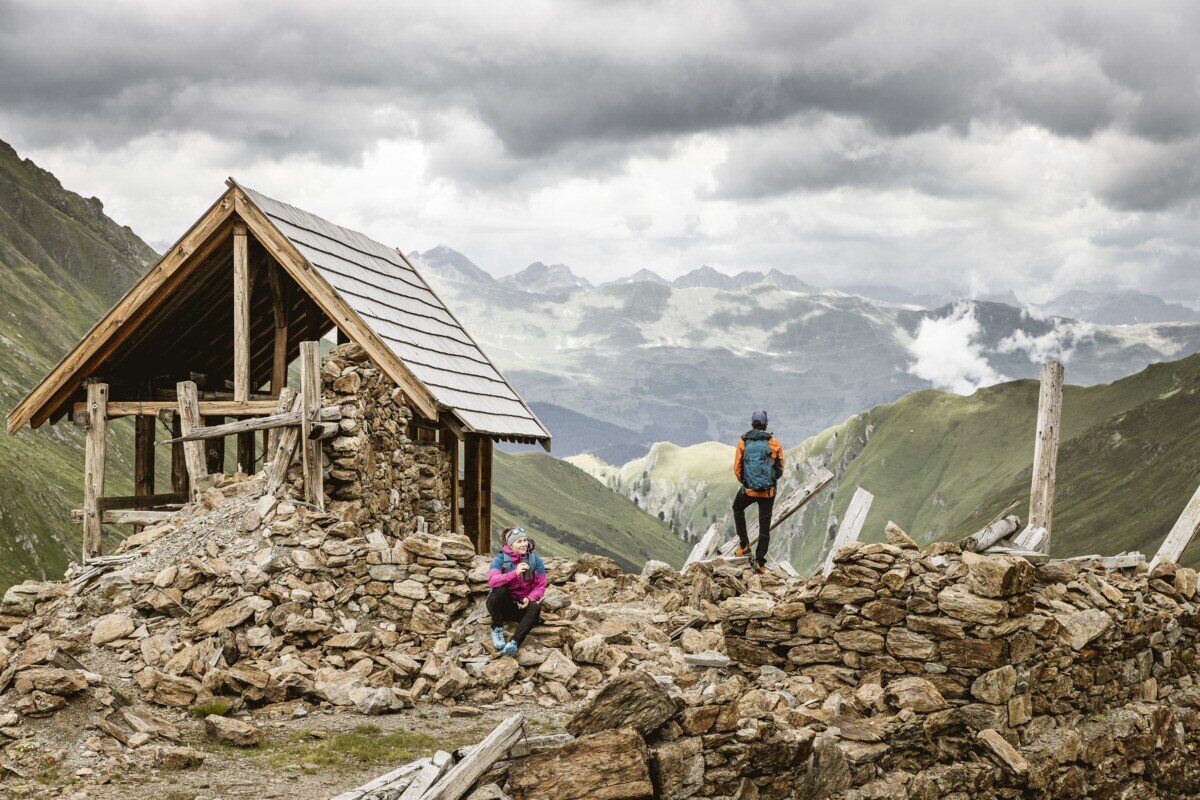
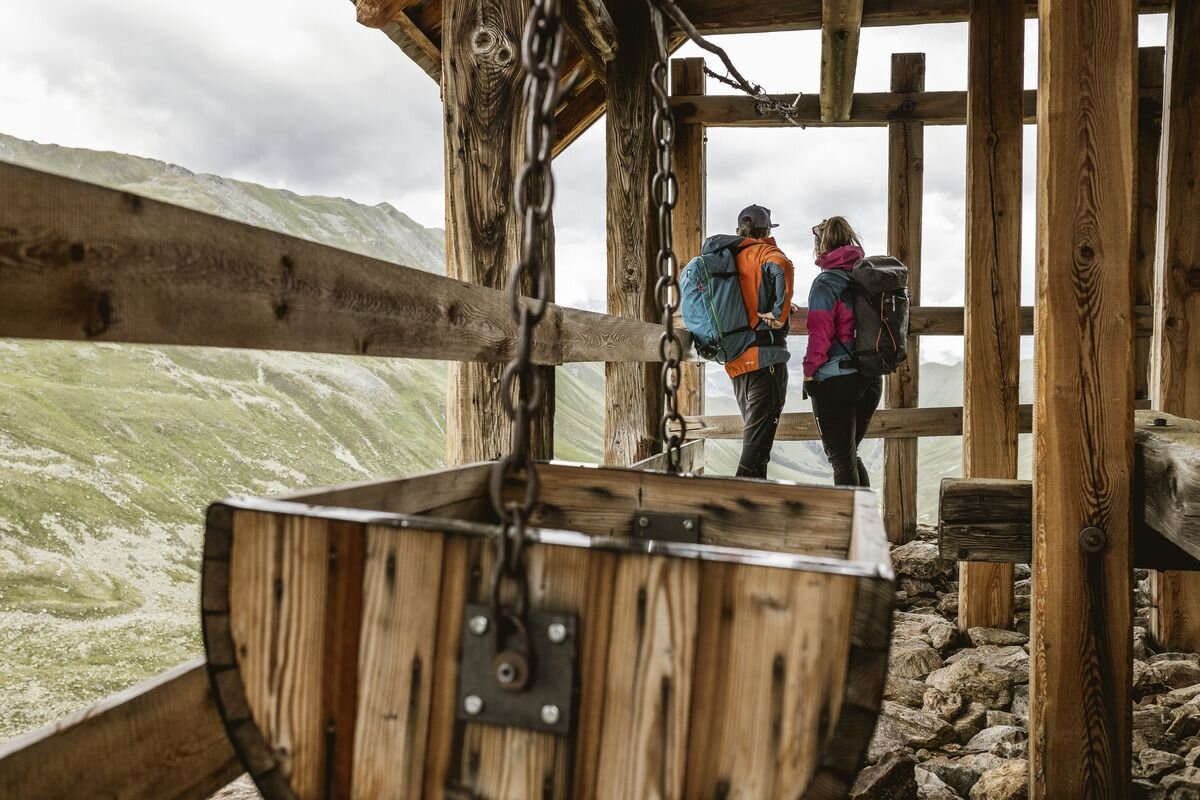
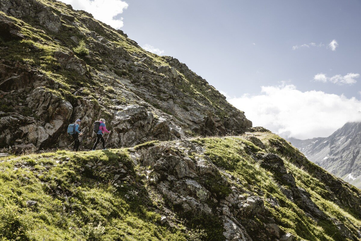
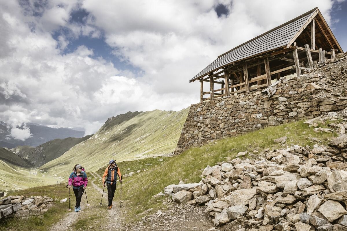
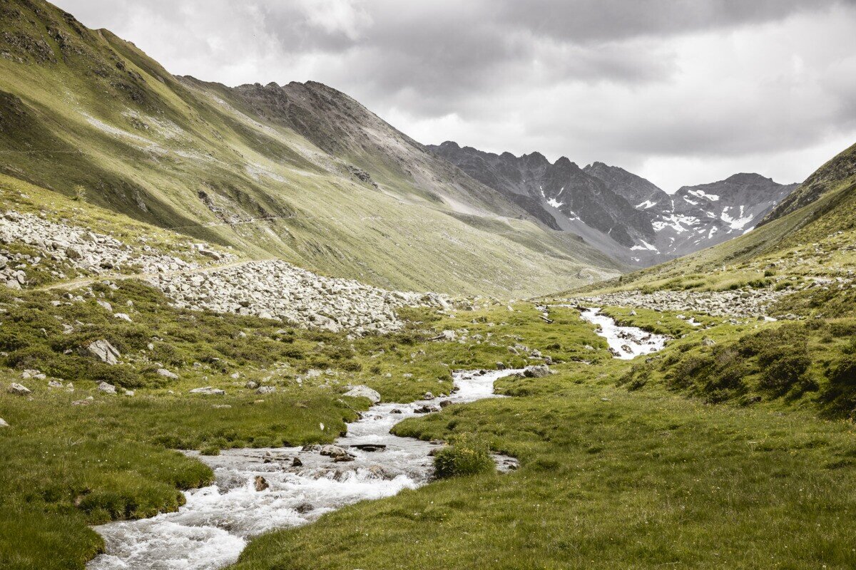
Drive from Pfunds to Greit up to the Tscheylücke. From there the path leads through the beautiful high valley past the Maria Schnee chapel to a fork in the road. Here the path branches off to the right towards Platzertal. Follow the signposting always towards Platzer Alm. Pass the dilapidated buildings of the ore and silver processing and continue to the alpine pasture. Passing the alpine pasture you continue to the probably highest mine of the Alps. Here, lead, zinc, silver and copper were mined at an altitude of almost 3,000 m. 

tour1
7:0h
896m
17.83km
Highest point
2497m
Start point
Parking area Tscheylücke | Pfunds
End point
Parking area Tscheylücke | Pfunds

Similar Tours

Easy
356m | 3h | 6.7km
Hiking tour
Plamortweg
Begin: Bergkastel Bergstation
End: Bergkastel Bergstaion
Medium
535m | 3.55h | 5.64km
Hiking tour
Brandlsteig
Begin: Steinbrücken | Tösens
End: Steinbrücken | Tösens
Medium
1063m | 7h | 10km
Hiking tour
Wanderung zum Ulrichskopf
Begin: Labaunalm
End: Nauders
Easy
426m | 3.5h | 7.5km
Hiking tour
Sellesköpfe
Begin: Lochmühle
End: Mutzkopf Talstation
Medium
611m | 6h | 5.6km
Hiking tour
Piengkopf
Begin: Bergstation Bergkastel
End: Bergstation Bergkastel
Medium
620m | 4.5h | 8.6km
Hiking tour
Zirbenweg
Begin: 2,5 km nach der Staumauer
End: Gepatschhaus
Medium
410m | 3.8h | 10.87km
Hiking tour
Anton Renk-Hut
Begin: Sattelklause
End: Anton-Renk-Hütte (2.260 m)
Difficult
1692m | 13.6km
Hiking tour
Über das Wallfahrtsjöchl vom Kaunertal ins Pitztal
Begin: Parkplatz Wallfahrtskirche Kaltenbrunn
End: Eggenstall (St. Leonhard-Pitztal)