























Hiking tour
Edelweißsteig


Opening status | Open
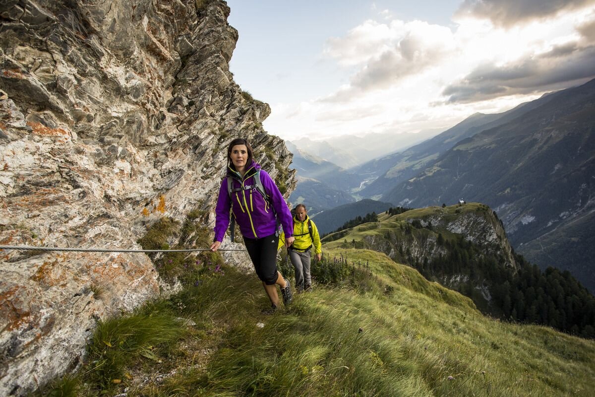
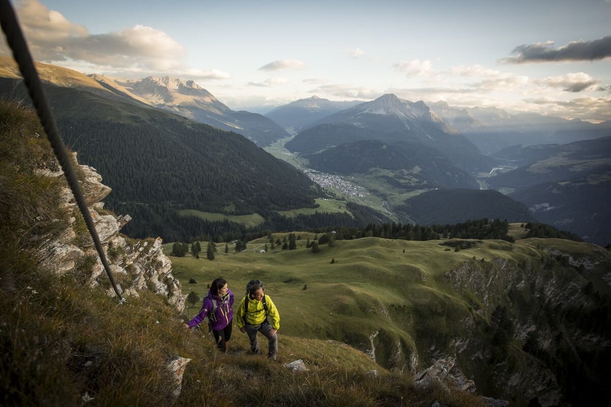
For many, edelweiss is the epitome of the Alps, for others a legendary mystery. The Edelweisssteig, with the sign of the royal alpine flower, leads experienced mountaineers from the Bazahler Kopf (2,160 m) to the Fluchtwand and promises an impressive mountain panorama. Starting from the parish church in the centre of Nauders, Trail no. 14 leads towards Parditschhof. From there it goes on Route no. 16 through the Valdigastei, past the Bazahler peaks, to the entrance of the Edelweisssteig (No. 15 b) at approx. 2,200 m. The trail marked black is only suitable for experienced mountain hikers. It is secured with a steel cable and stirrups and leads over the edge of the mountain up to the Fluchtwand at 2,328 m. A head for heights and being sure-footed are essential. A simpler alternative is the red (intermediate) Mountain trail no. 15a. The way back is via Trail no. 15 to Labaunalm and past the Parditschhof back to Nauders (No. 14 or 14a).
tour1
7:0h
1027m
17km
Highest point
2310m
Start point
Pfarrkirche St. Valentin
End point
Pfarrkirche St. Valentin


