























Hiking tour
Frudiger | Circular Hike
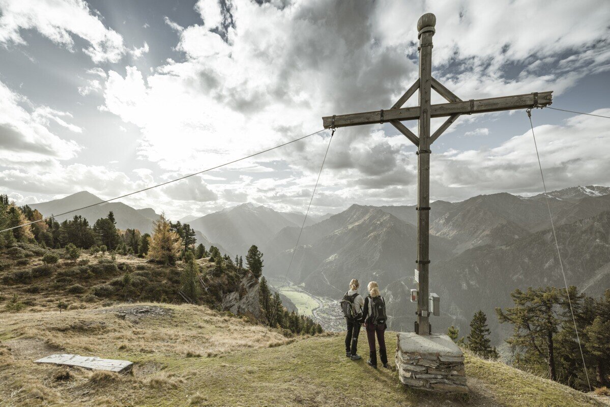
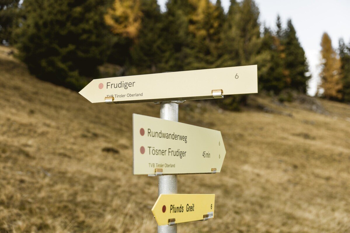
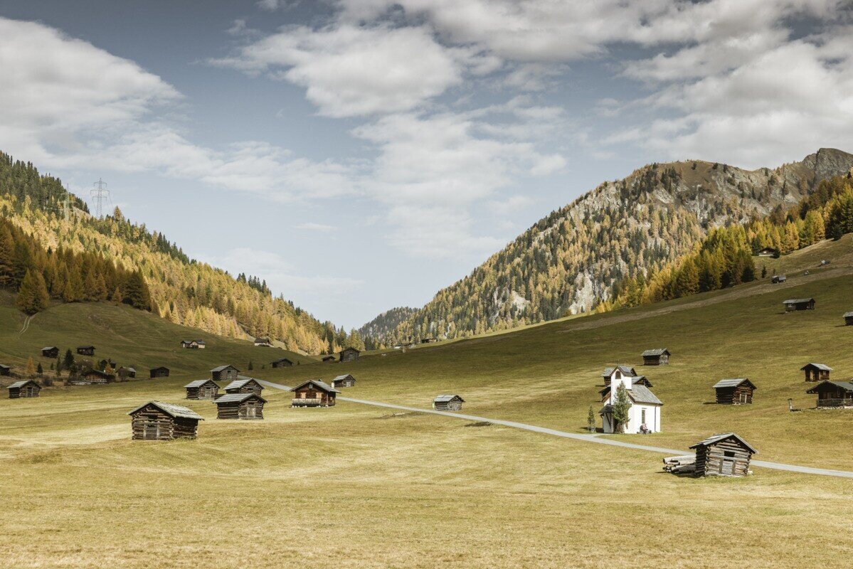


At the beginning of the wonderful high valley of the Pfundser Tschey, a forest path starts on the left at the roundabout up to high mountain meadows. The sign Frudiger points to a path across pastures, through the Swiss stone pine forest up to the summit. A wonderful view of the neighbouring Samnaun group and the holiday resort Pfunds opens up. Descent from the cross into the hollow where you turn left in the direction of Tösner Frudier, on an almost flat path, above the calf hut you continue to the Bio-Top. Accompanied by young cattle, the trail leads past the calf hut to Tösner Frudiger. The well-marked path no. 7 leads back to the Tscheywiesen. Return through the Tscheywiesen past the Maria Schnee chapel to the car park.
Tip: Every Thursday a hiking bus drives to the Tschey
Tip: Every Thursday a hiking bus drives to the Tschey
tour1
4.9:1.1h
588m
13.5km
Highest point
2139m
Start point
Parking area Tscheylücke | Pfunds
End point
Parking area Tscheylücke | Pfunds


