Hiking tour

Muttakopf | Kreuzjoch

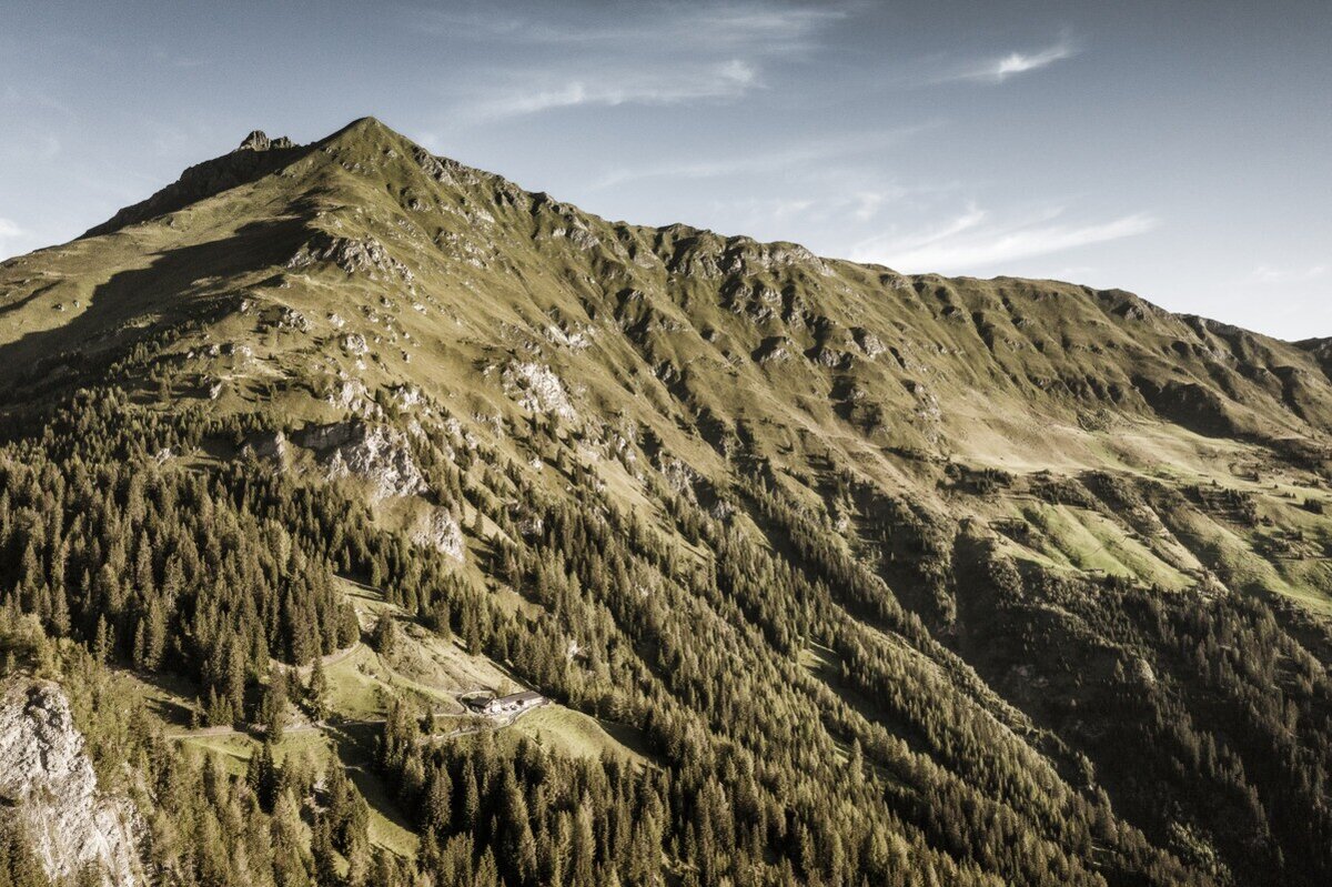
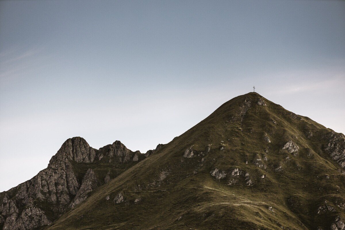
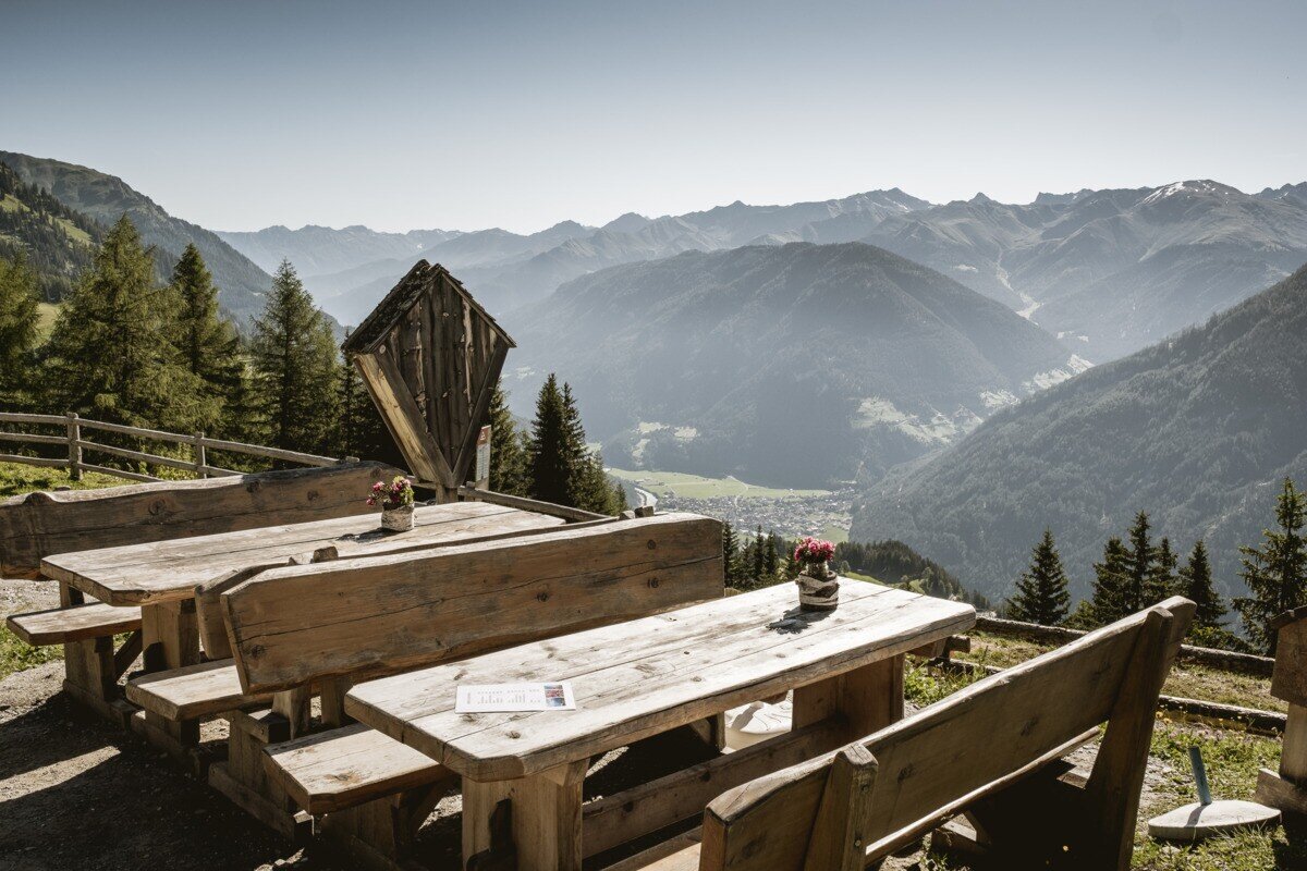
The hike starts in Spiss, passing Haus Bergfeld along a forest road. At the “Muttakopf Trail No. 9” sign, turn left onto a steep path leading to Muttakopf at 2,525 m. From the summit, enjoy breathtaking views of the neighboring village of Samnaun, Nauders, Lake Reschen, and the surrounding Ötztal Alps.

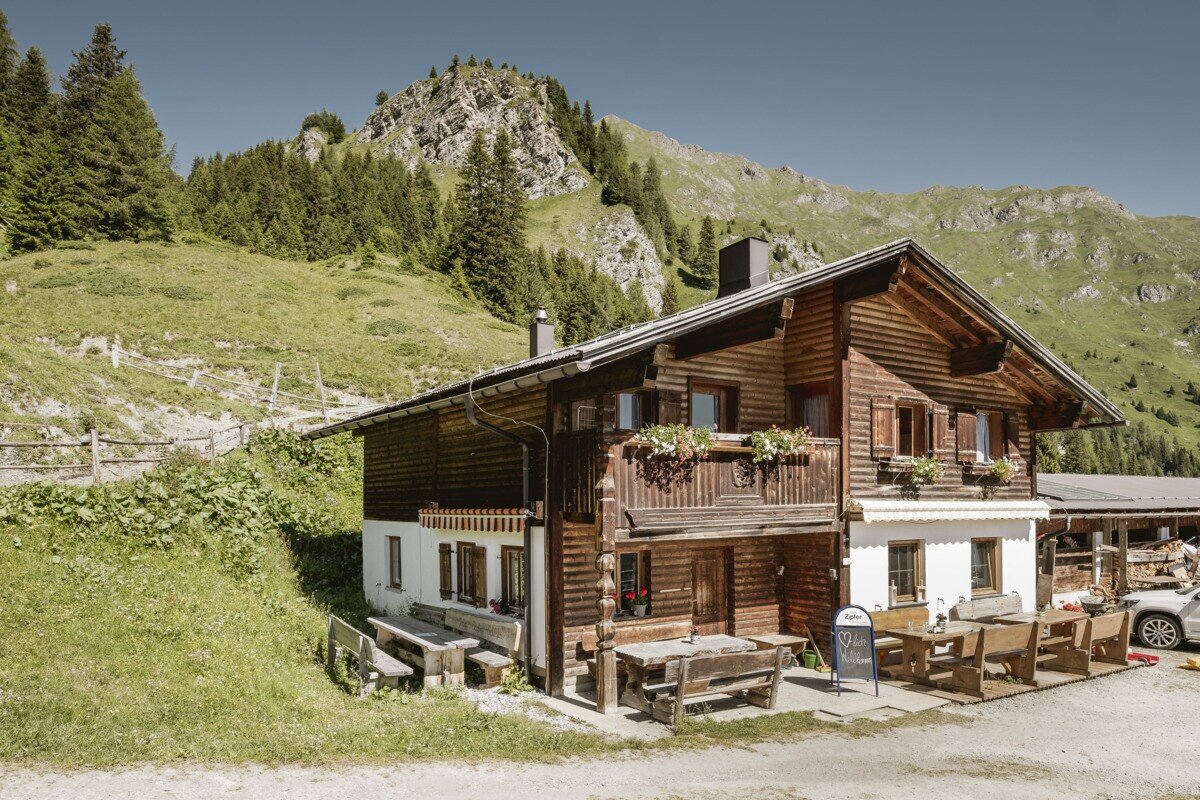
From the Muttakopf summit cross, the trail continues gently along the ridge to “In der Keil” at 2,679 m and then below the Rotspitze to the Kreuzjoch summit cross at 2,698 m. After a short break, the descent leads to Kobler Alm, perfect for a well-deserved rest.

The return follows scenic forest and meadow paths back to the hamlet of Gstalden, through the Tobel valley, and over the Heusattel back to Spiss.

tour1
9.3:1.7h
1345m
17.32km
Highest point
2693m
Start point
Haus Edelweiss | Spiss
End point
Haus Edelweiss | Spiss

Similar Tours

Medium
658m | 4.83h | 10.71km
Hiking tour
Kaunerberg - Aifner Alm
Begin: municipal office | Kaunerberg
End: municipal office | Kaunerberg
Difficult
1570m | 10h | 13.7km
Hiking tour
Feichtner Karlspitze (2.918m) von Fendels
Begin: Parkplatz Seilbahn Fendels
End: Sattelklause
Medium
733m | 5.93h | 15.93km
Hiking tour
Anton Renk-Hütte | Großer See
Begin: Parking area Seilbahn Talstation | Ried im Oberinntal
End: Parking area Seilbahn Talstation | Ried im Oberinntal
Easy
82m | 1h | 1.7km
Hiking tour
Seeles Seen
Begin: Parkmöglichkeit Riffeltal (an der Gletscherstraße)
End: Seeles Seen
Medium
427m | 3.25h | 7.78km
Hiking tour
Kälberberg
Begin: Haus Edelweiss | Spiss
End: Haus Edelweiss | Spiss
Medium
397m | 3h | 5km
Hiking tour
Knappensteig & Aussichtsplattform Adlerblick
Begin: Infobüro Kaunertal
End: Infobüro Kaunertal
Easy
907m | 4.5h | 12.2km
Hiking tour
Border tour Plamortboden via Kompatsch
Begin: Nauders
End: Nauders
Medium
478m | 4h | 8.7km
Hiking tour
Kaiserschützenweg - Selles variant
Begin: Gasthof Norbertshöhe
End: Nauders / Gasthof Norbertshöhe