























Running tracks
Radurschl-Trail
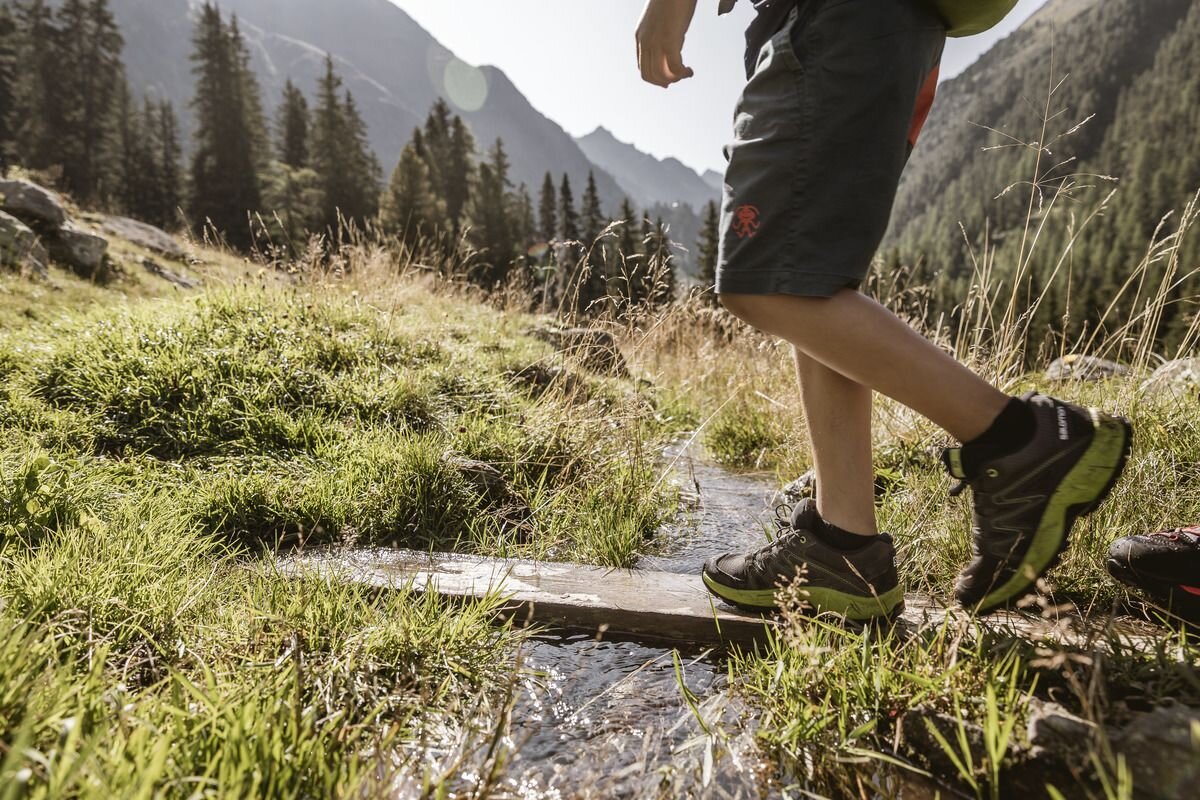
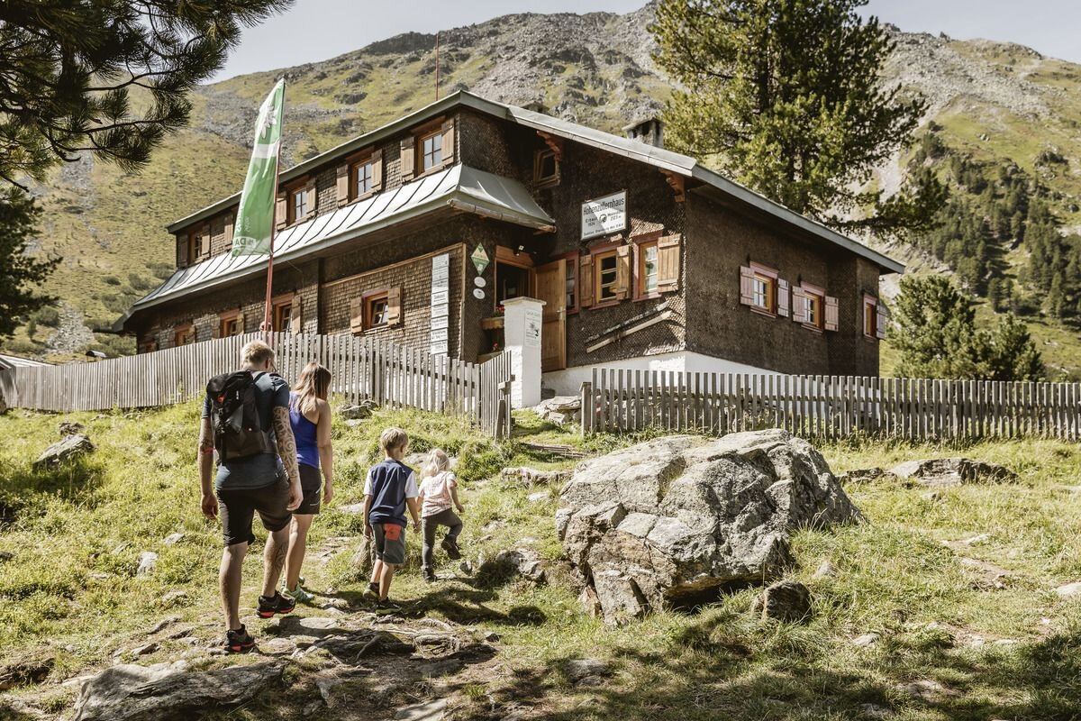
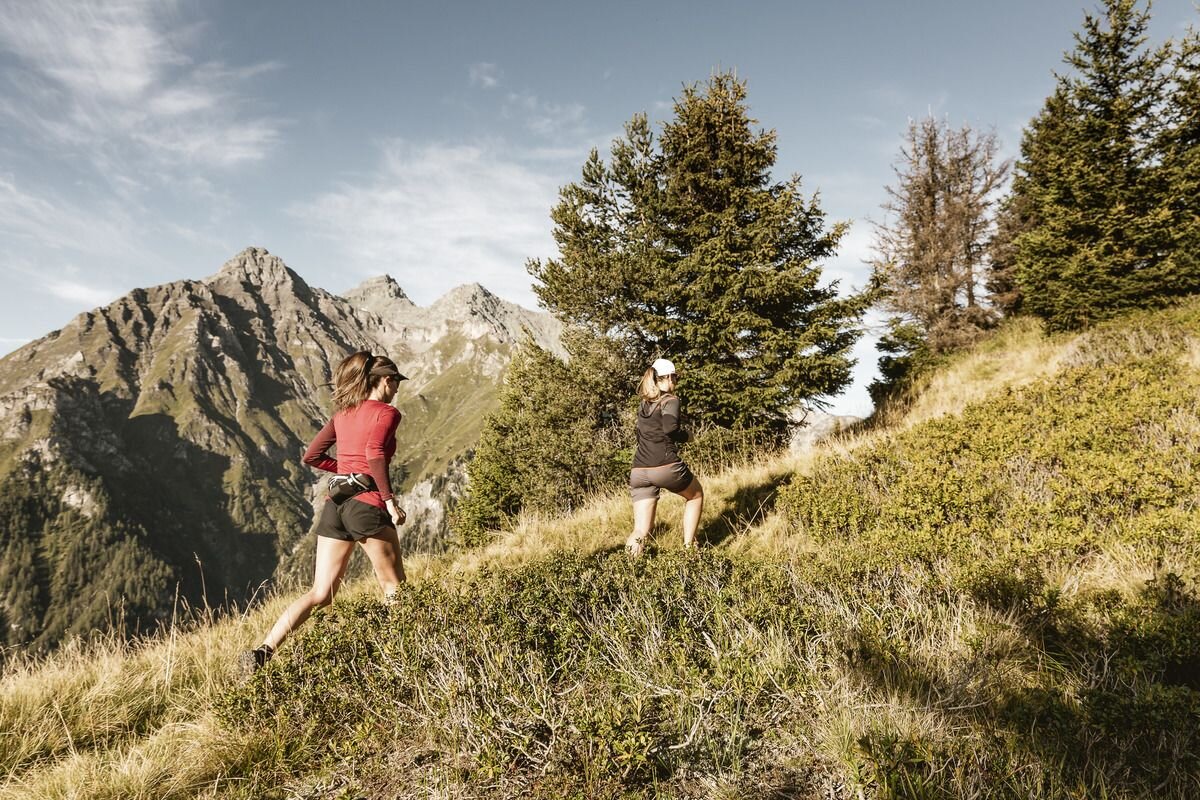


Start is at the car park Wildmoos in Pfunds in the Radurschl. Shortly after the car park the path branches off to the right in the direction of Nauderer Tschey / Bergle / Hohenzollernhaus. Follow the marked path, over the so-called Bergle (attention partly suspended), until you reach the Hohenzollernhaus (a tip for a stop!). The managed alpine club hut compensates the effort with Kaiserschmarren and dumplings.
Take the marked path back downhill, through the Swiss stone pine forest and sculpture park, towards Radurschlalm (refreshment tip!). Follow the forest path back to the car park.
Take the marked path back downhill, through the Swiss stone pine forest and sculpture park, towards Radurschlalm (refreshment tip!). Follow the forest path back to the car park.
tour1
776m
16km
Highest point
2399m
Start point
Parkplatz Wildmoos | Pfunds
End point
Parkplatz Wildmoos | Pfunds


