























Zirbenweg
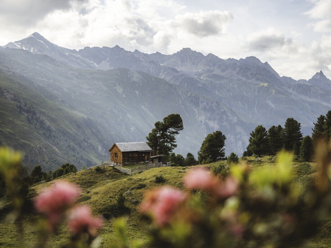
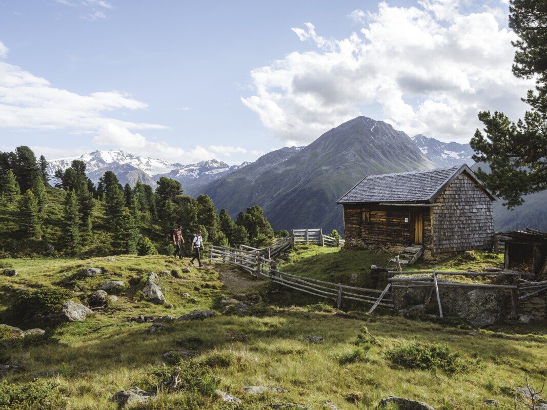
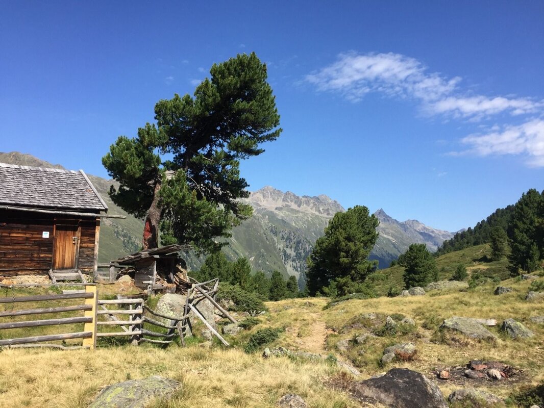


A magnificent high-altitude trail with an imposing mountain backdrop and hiking quality seal - via Hapmes and Bligg to the Gepatschhaus.
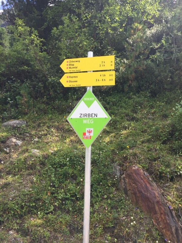
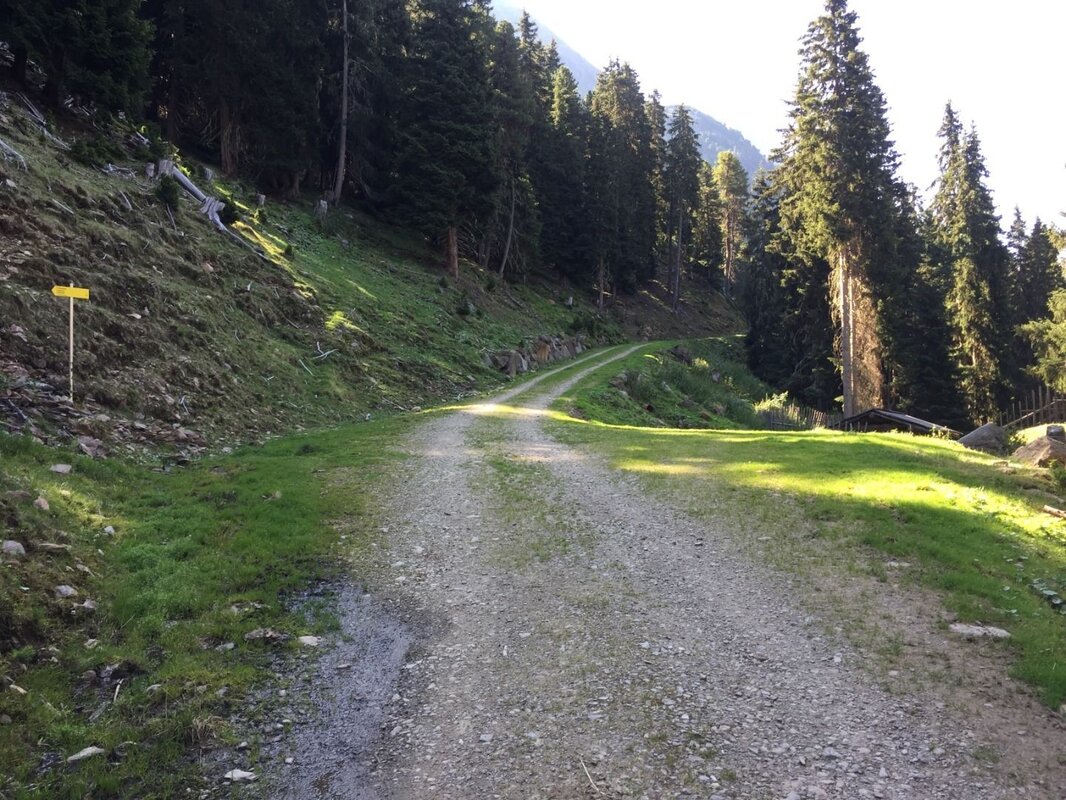
The hike starts with clear signposting on the eastern shore of the reservoir, approximately 2.5 km south of the dam wall. Follow the forest track to the trail junction, located just before a wildlife feeding station. Here, follow the signpost left in the direction of Zirbenweg/Hapmes.
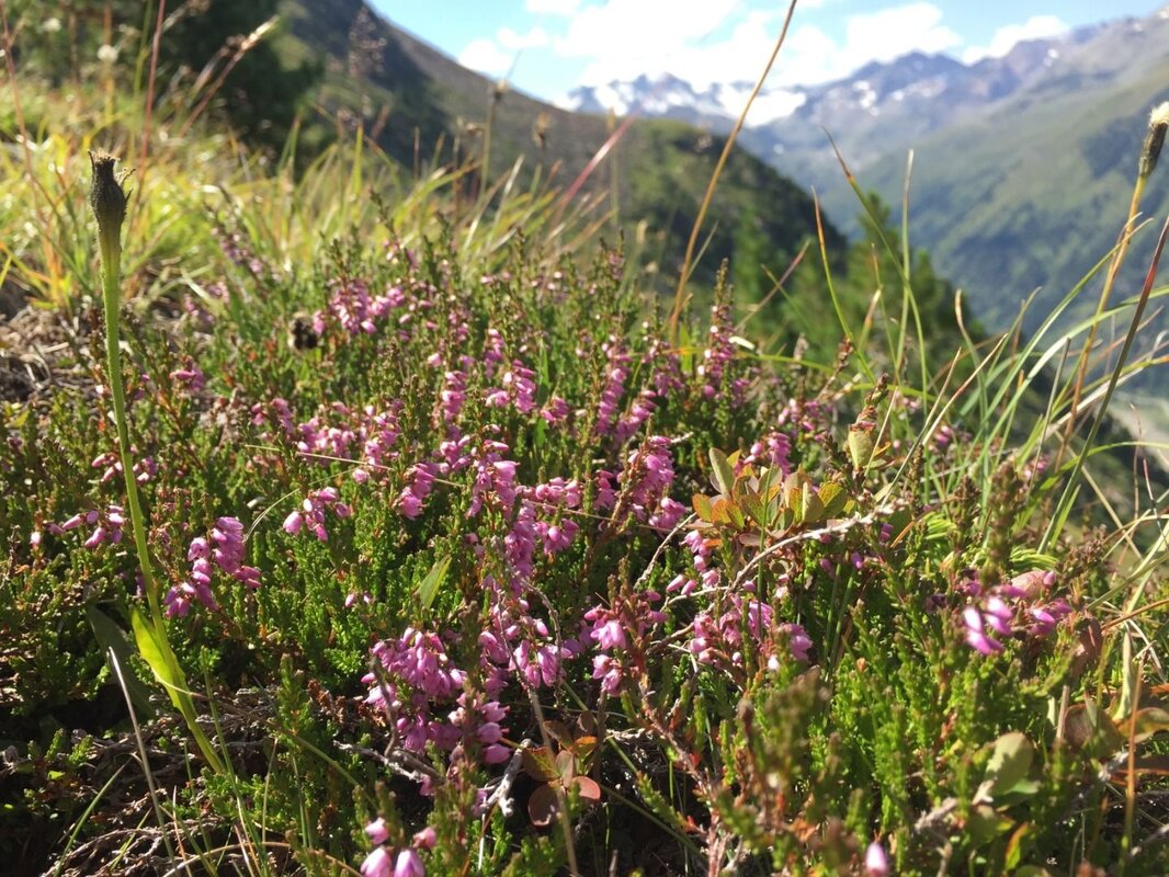
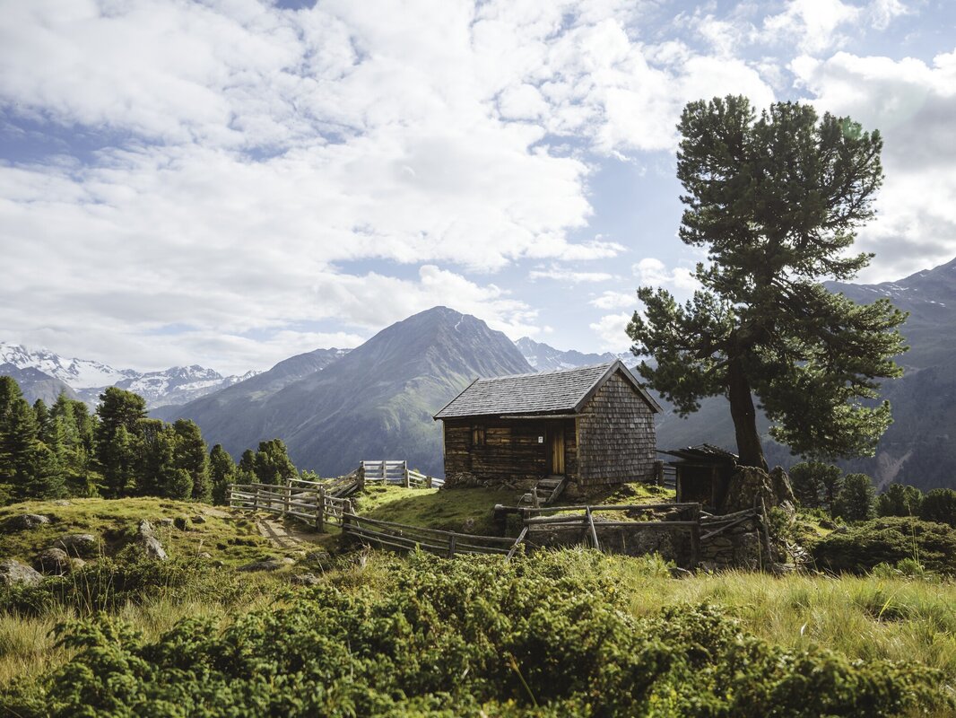
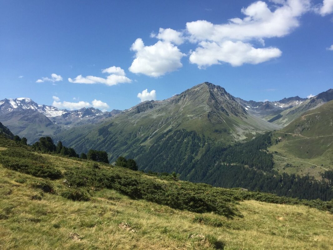
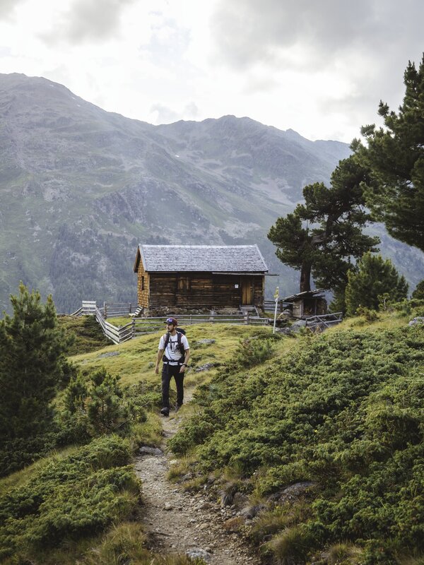
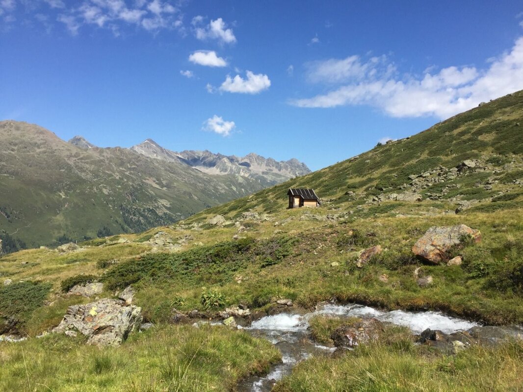
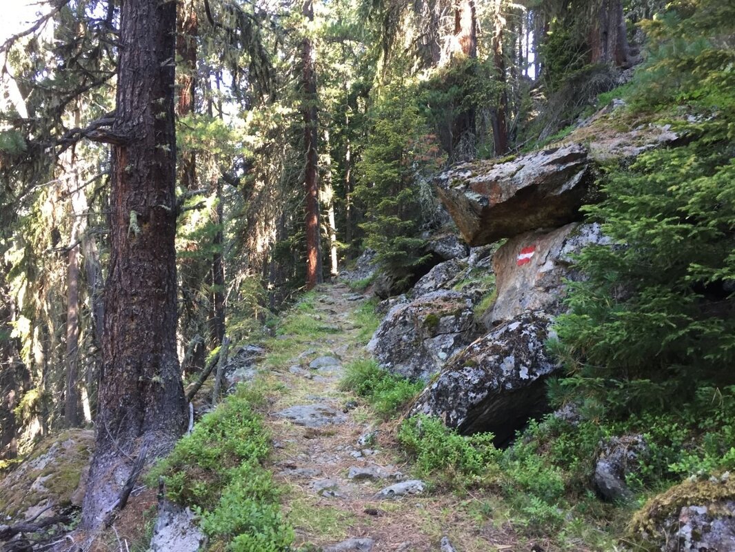
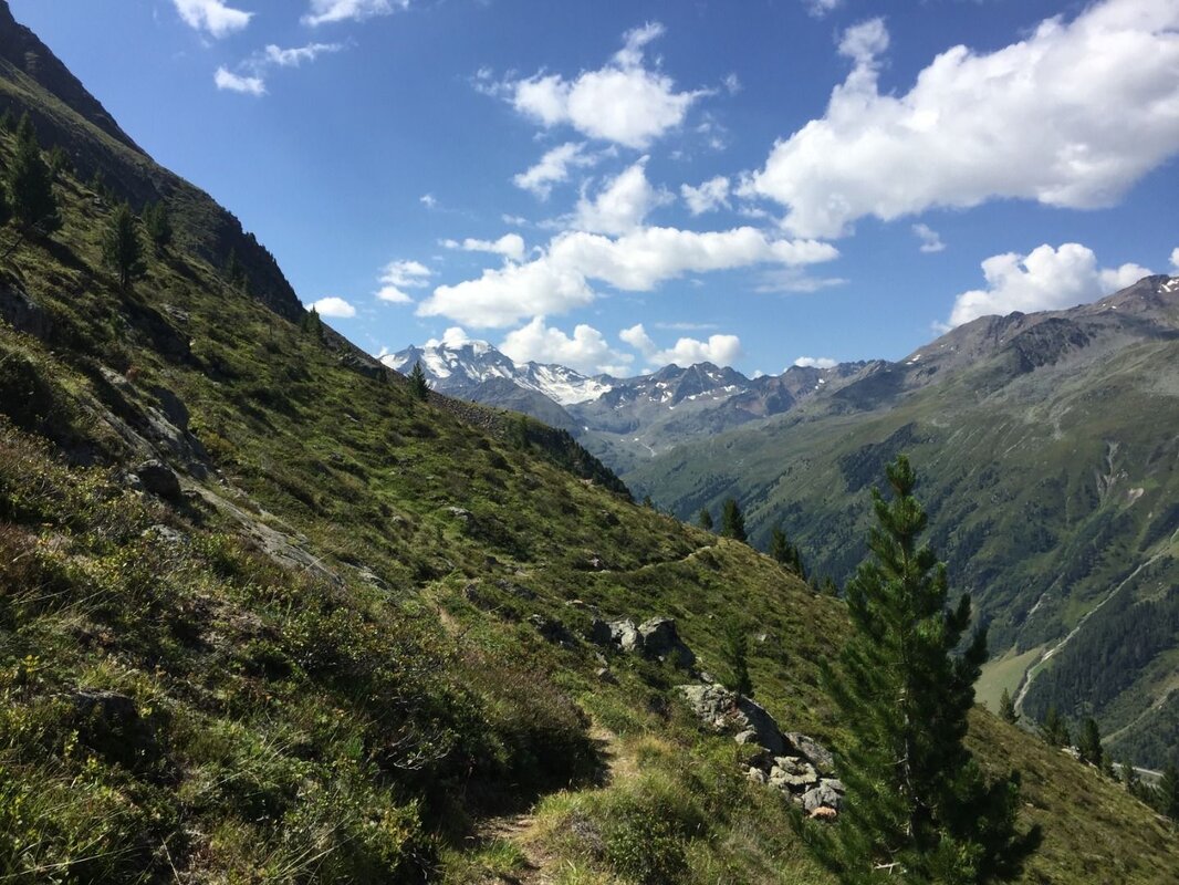
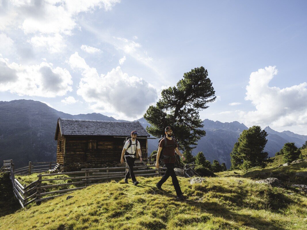
A pleasantly laid out trail leads through a beautiful mountain forest which, with the Swiss stone pine as its dominant tree, eventually forms the tree line in the area of the Hapmes hunting hut. By the time you reach the hunting hut, the majority of the elevation gain is already behind you. Continue along the trail across the beautiful Hapmes meadows, where alpine grassland and dwarf shrubs line the path and the last Swiss stone pines are soon left behind. The fabulous views of the surrounding high valleys, mountain peaks, and of course the Weißseespitze with the Gepatschferner to the south make the kilometres pass by in no time.
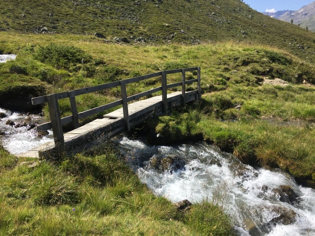
The Wurmetal soon comes into view — its entrance marked by a prominent moraine wall, a remnant of glacial activity around 12,500 years ago. Shortly after the hut, cross the bridge and continue south towards Bligg. Along the way, pass a natural platform known as the Kanzel, offering yet another wonderful vantage point. In the opposite Kaiserbergtal, between the Plattigkopf and Gebhardspitze, an active rock glacier can even be spotted.
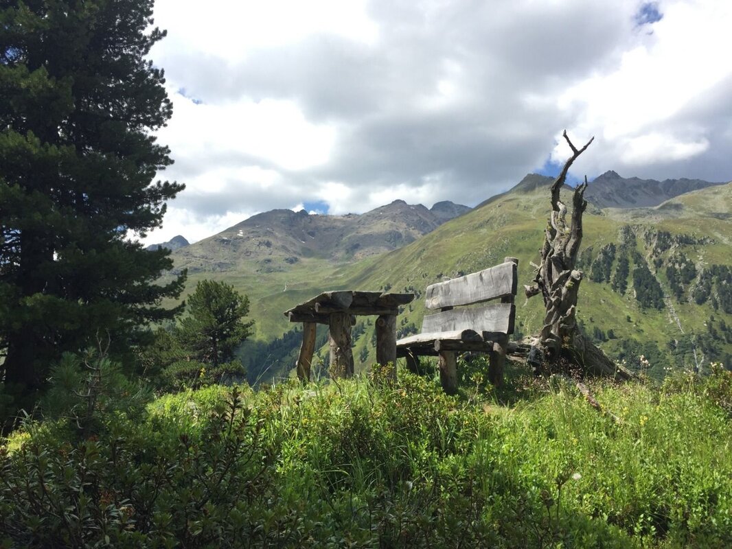
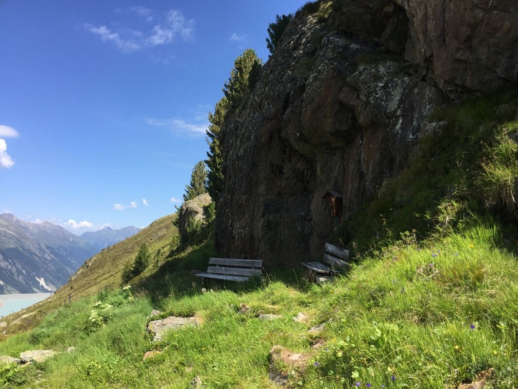
Bligg is reached shortly after, where a beautiful rest area nestled in a rocky alcove awaits. Beginning the descent, follow the path towards the valley, cross the Bligg Bach, and re-enter the tree line area with its beautiful Swiss stone pines. The trail winds pleasantly through the landscape past steep rock faces. A small wooded knoll soon reveals the next rest area. Continue downhill — after a brief but steeper section, the gradient eases and a steady descent leads to the Glacier Road. Follow it a few steps uphill, and the beautifully situated Gepatschhaus is your reward.
Further reading: K. Krainer (2016): Naturpark Kaunergrat (Pitztal-Fließ-Kaunertal), Gesteine, Gebirgsbildung und Formung der Landschaft.


