

















Hiking tour

Zum Schartlkopf

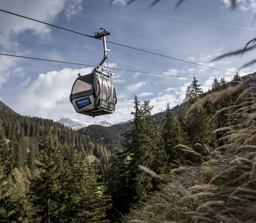
Starting from the mountain station of the Bergkastel cable car, Hiking trail no. 30 leads over the mountain trail to Valdafurbach. At the stream, Trail no. 24 begins eastwards and leads across pastureland, across the valley, to the back of the Tscheyeck. In Kehren, the upper section leads along the ski slope up to the Tscheyjoch (2,600 m). Continuing north over the ridge, past the Tscheyeck and the Mitterjoch, you reach the summit of the Schartlkopf (2,808 m). The Schartlkopf is one of the highest elevations in the Nauders Mountains. Via Trail no. 17 you descend through the quiet Gamortal and further through Valrietal to Nauders. Alternatively, you can ascend directly from Nauders along Route no. 18 or 19.
tour2
6:4.8h
893m
14.6km
Highest point
2750m
Start point
Bergstation Bergkastel
End point
Schartlkopf

Similar Tours

Medium
618m | 5.5h | 15km
Hiking tour
Smaragdsee
Begin: Parking area Wildmoos | Pfunds
End: Parking area Wildmoos | Pfunds
Medium
1038m | 7.23h | 14.8km
Hiking tour
Lahnkopf | Circular Hike
Begin: Parking area Tscheylücke | Pfunds
End: Parking area Tscheylücke | Pfunds
Easy
368m | 4.5h | 8.3km
Hiking tour
Schwarzer and Grüner See
Begin: Bergstation Mutzkopf
End: Talstation Mutzkopf
Medium
528m | 4.17h | 10.61km
Hiking tour
Kälberhütte | Alpe Zanders
Begin: Haus Edelweiss | Spiss
End: Haus Edelweiss | Spiss
Difficult
908m | 5h | 4.9km
Hiking tour
Glockturm
Begin: Parkplatz Weißsee
End: Glockturm
Difficult
830m | 5.5h | 10.6km
Hiking tour
Dr. Angerer Höhenweg
Begin: Falkaunsalm
Medium
400m | 3.75h | 8.4km
Hiking tour
Gletscherlehrpfad Gepatschferner
Begin: Parkplatz Ochsenalm
End: Parkplatz Gepatsch
Medium
1063m | 7h | 10km
Hiking tour
Wanderung zum Ulrichskopf
Begin: Labaunalm
End: Nauders