























Große Verpeilrunde
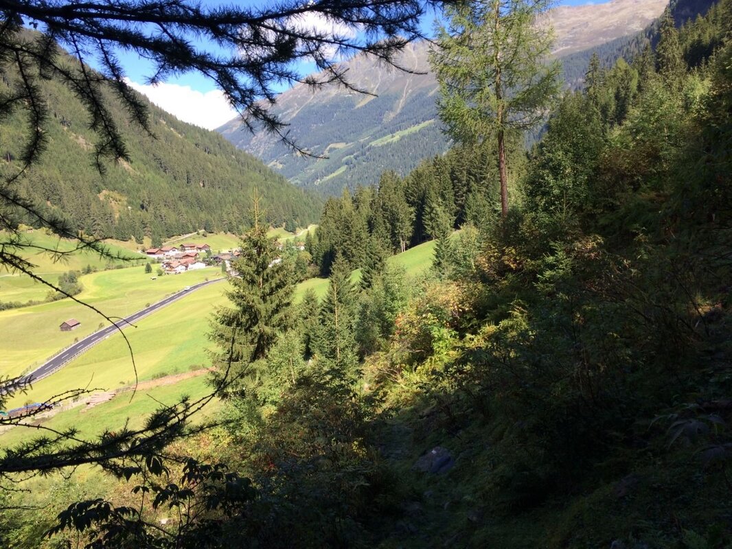


Holidaymakers staying in Feichten, Unterhäuser or Vergötschen can easily manage without a car on this walk. The route description begins at the Quellalpin car park in Feichten, where you’ll already come across signs for the Verpeilhütte. Follow the gently ascending road past the Hotel Lärchenhof and continue along the gravel track, enjoying views of the rooftops of Feichten.
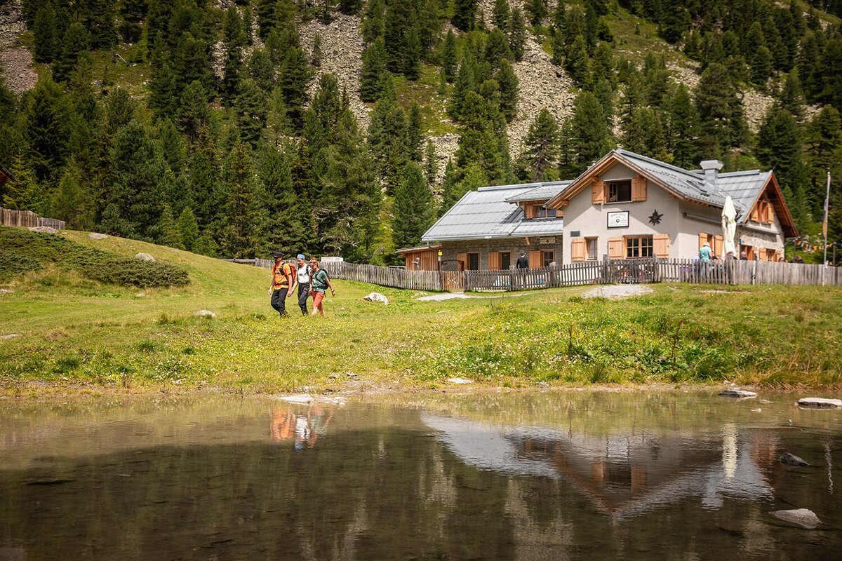
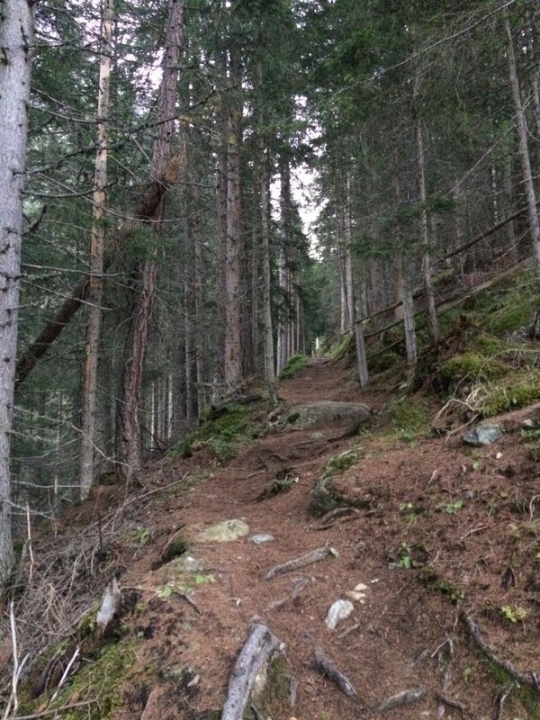
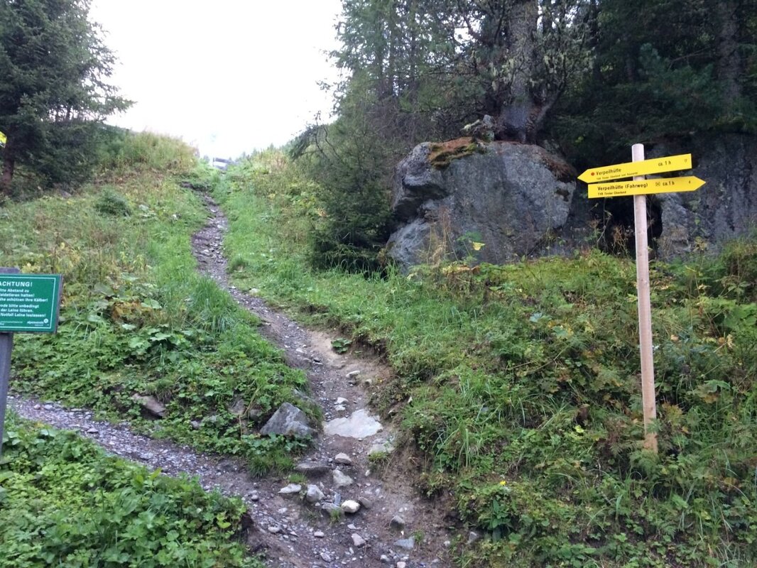
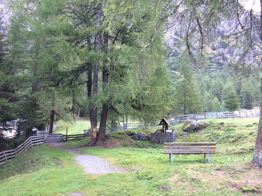
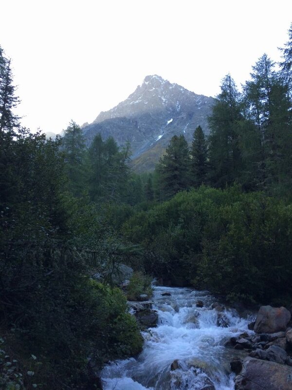
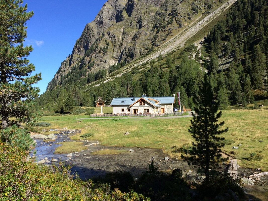
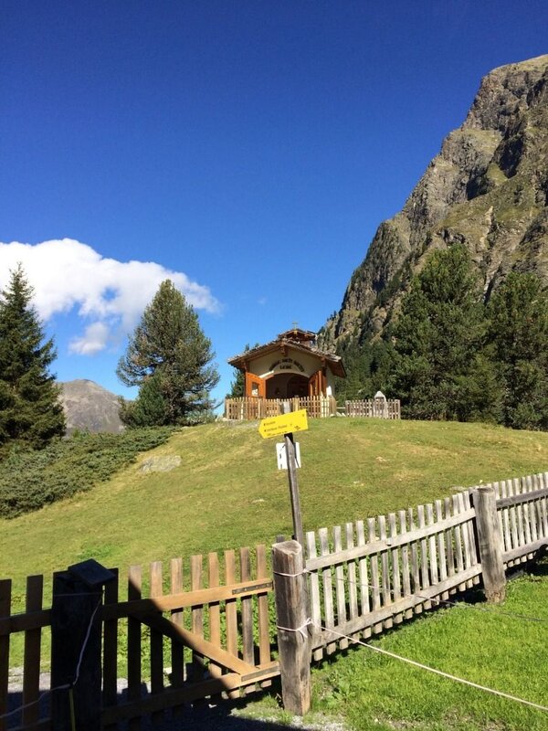
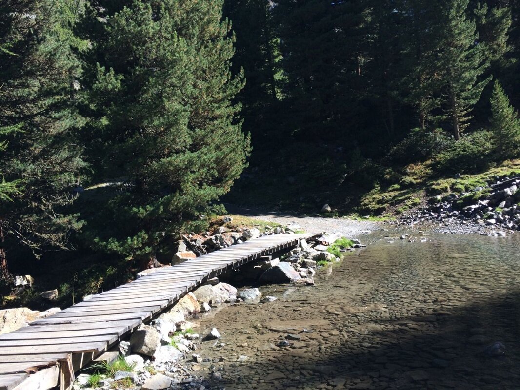
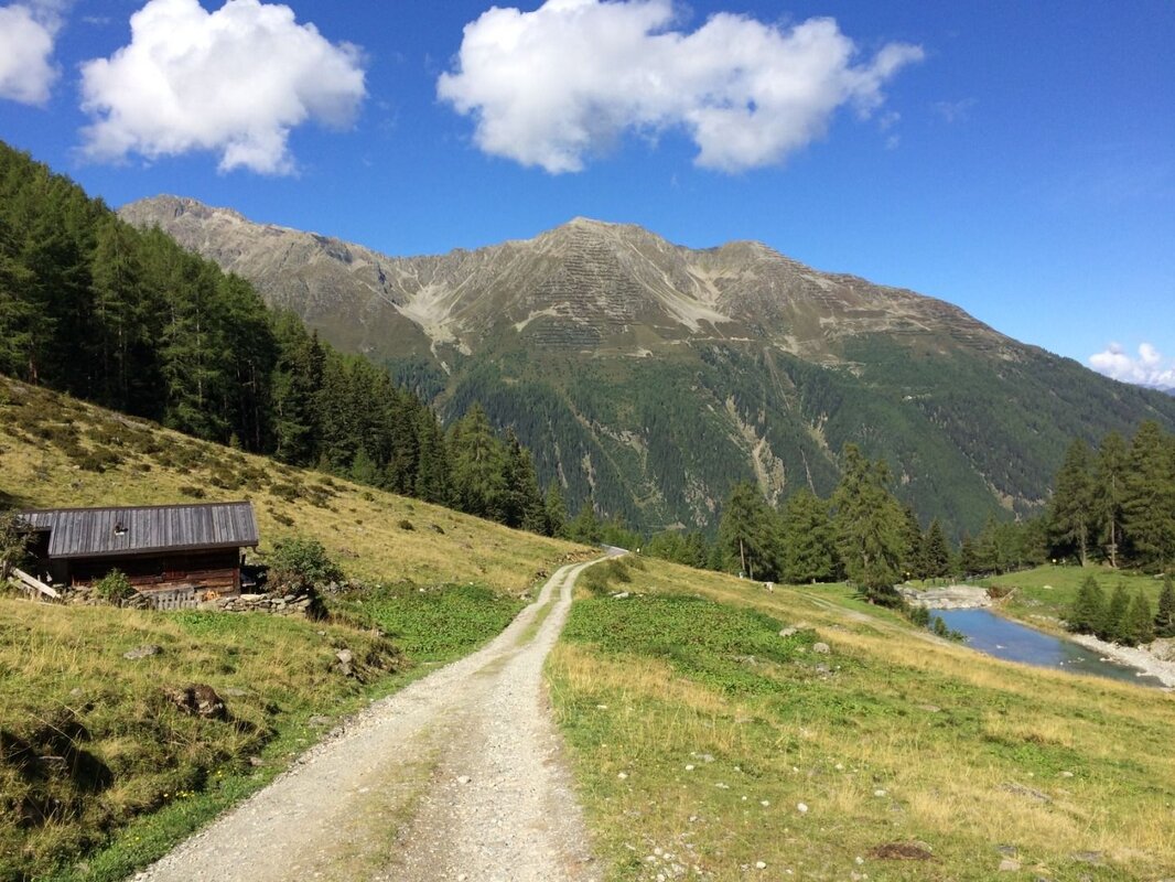
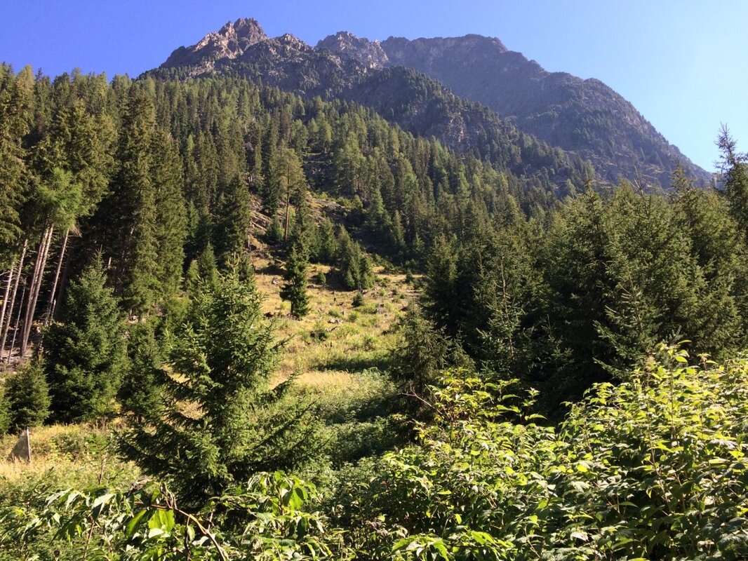
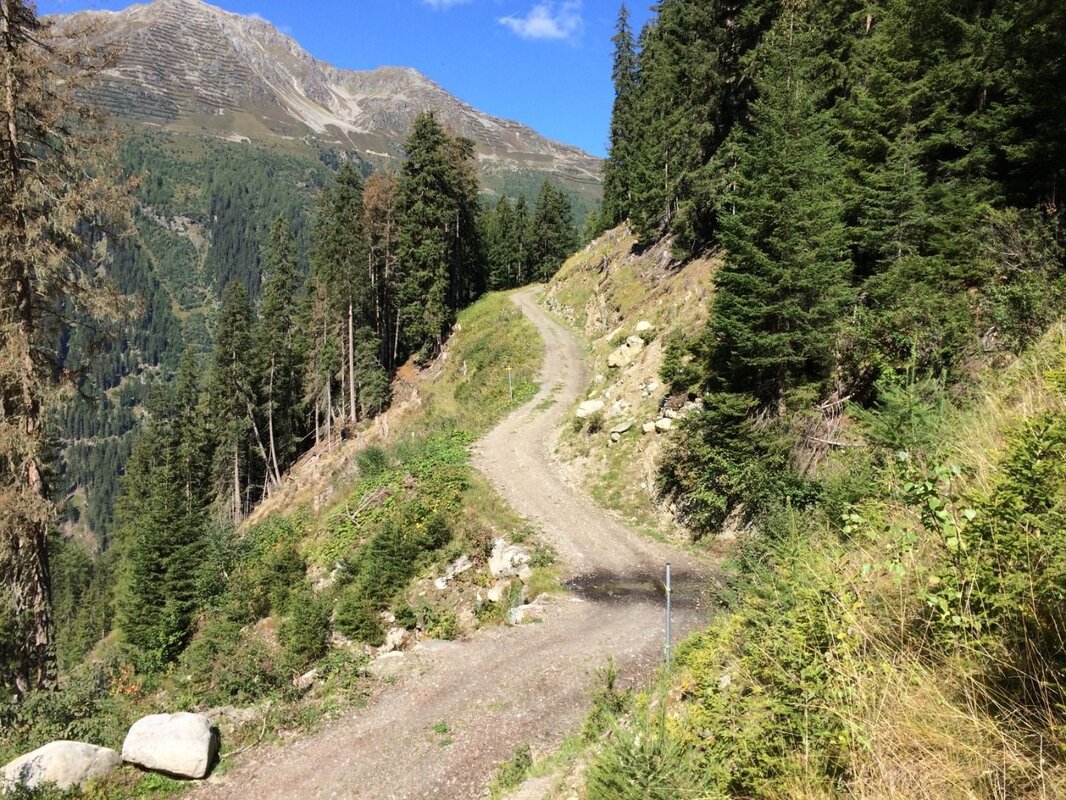
The Verpeil Alm and the Verpeil Hut are well signposted; the path leading there branches off the forest track shortly after the first hairpin bend. After this flatter initial section, the path climbs somewhat more steeply through the mountain forest. When wet, a few sections here require a bit of care. Once you’ve crossed the forest track, the terrain levels out again. In the beautiful clearings, where you may occasionally spot roe deer, you can see the rock faces of the Schweikert (2,879 m) to the east. You’ll soon reach the forest track again; follow it briefly past the car park and join the path below the Verpeilalm. Then head left across the stream bed, where you’ll come across the signpost for the subsequent descent (Unterhäuser-Vergötschen-Platz). Now follow the lovely path on the left-hand side of the Verpeilbach stream uphill to the Verpeilhütte (see the description for the ‘Kleine Verpeilrunde’). After a long rest at this beautifully situated hut, walk back along the gravel path to the Verpeilalm. To take in some new views on the descent, follow the “Alter Steig” just above the alp, cross the bridge again and continue towards Unterhäuser-Vergötschen-Platz. The path down into the valley begins at the small building by the bridge. There, behind the stream bed, you’ll come across the signpost mentioned above and follow it downhill. This scenic trail runs beneath the rugged flanks of the Schweikert and winds skilfully through the mountain forest down into the valley. This protective forest is shaped by the prevailing forces of nature. Finally, you reach the valley floor between Vergötschen and Unterhäuser, where you take the Lärchenwaldweg back to Feichten.


