























Hiking tour
Kaiserschützenweg - Selles variant


Opening status | Open
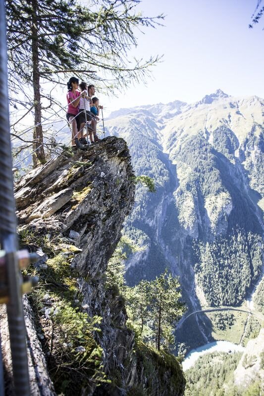
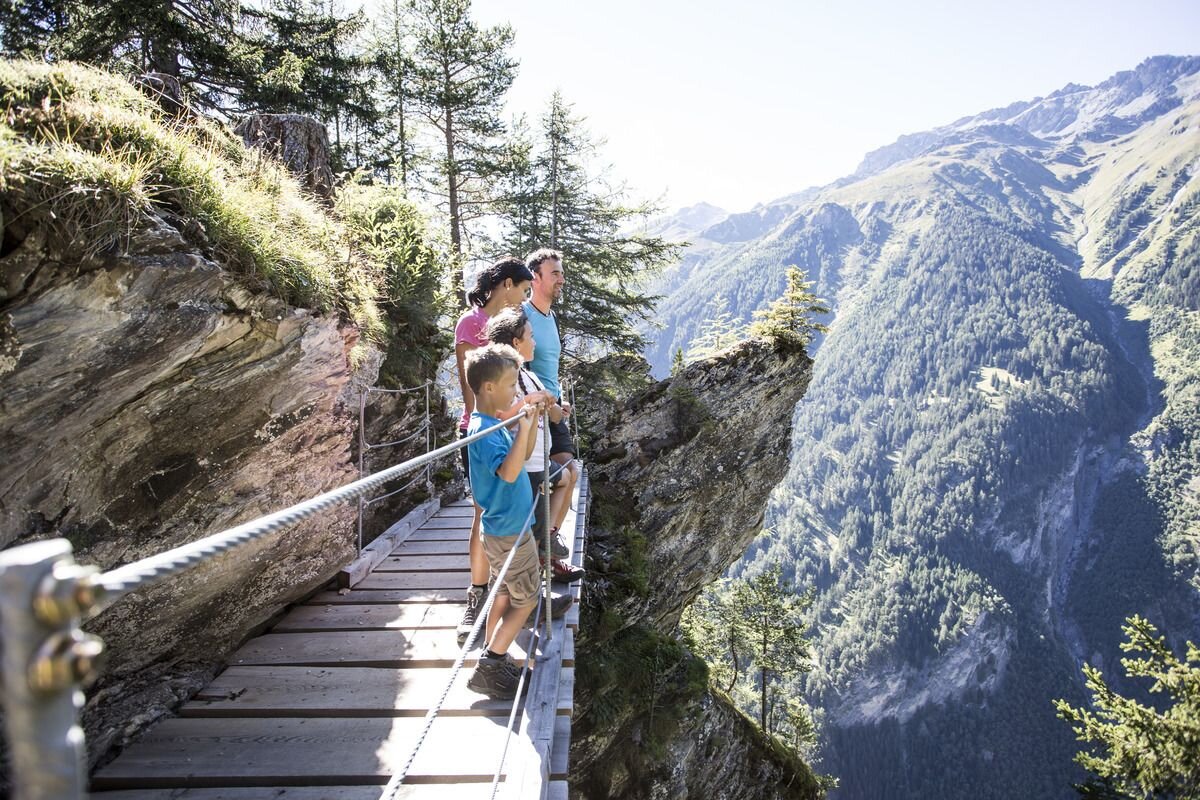
The historical hike promises magnificent views and information about the time of the First World War and the “Kaiserschützen”. Starting from the Lochmühle in Nauders, Trail no. 1 leads towards Norbertshöhe. After a few hundred metres, follow Trail no. 2 towards Sellesköpfe. Over a short flat section and through the larch forest the route goes up to the municipal pastures. Continue to the pastures on Selles to the signpost. Then a short path leads to the entrance of the Kaiserschützenweg (Variant no. 40). Along the route you can enjoy the views to Altfinstermünz, the Hohe Turm, Bergkastel and the Engadin. The accessible rock caverns near the Zettleralm were intended to serve as a defence against enemies from the south together with the Nauders Fortress in the First World War.
The marked Trail no. 2 continues down through the forest towards the Schöpfwarte and Norbertshöhe (refreshments available). From there via Hiking trail no. 1 back to Nauders.
tour1
4:0h
478m
8.7km
Highest point
1645m
Start point
Gasthof Norbertshöhe
End point
Nauders / Gasthof Norbertshöhe


