






















Mountainbike tour
7041 | Schwarzseerunde

Opening status | Open
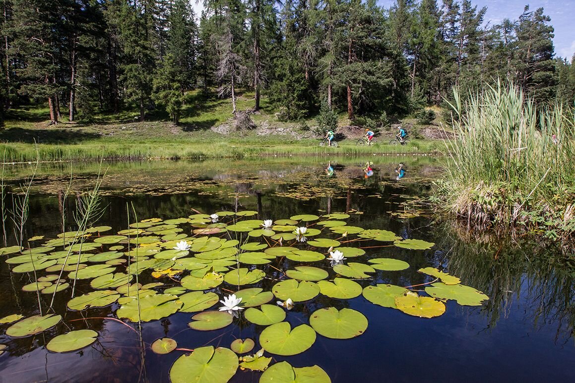
The loop trail begins in the center of Nauders at Gasthaus Lamm and follows a gentle farm road up to Norbertshöhe. There, the path transitions to a forest road that passes by the Mösle natural pond and offers sweeping panoramic views of the Lower Engadine before crossing the Swiss border through a wooded area. After crossing the border, a gently descending forest path provides a relaxing ride to the junction at Schwarzsee (Lac Nair). This Tyrolean natural monument is nestled between the Kleiner and Großer Mutzkopf, is characterized by its rich variety of flora and fauna, and boasts the highest location in the Alps where white water lilies grow. From Schwarzsee, the route continues with a moderate incline through sparse forest until the paved gravel road ends. The final section of the ride is a technically challenging, approximately 800-meter-long singletrack that demands full concentration and can be navigated by pushing the bike if necessary.
tour2
570m
14.62km
Start point
Nauders
End point
Nauders


