


Aifner Spitze
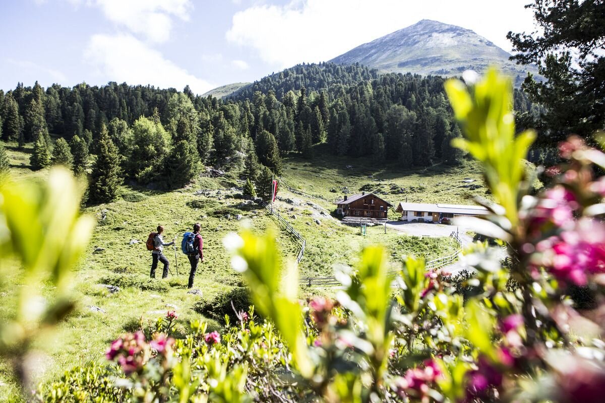


The starting point for this scenic summit hike is the Aifner Alm. To reach it, drive through Kaunerberg toward the Naturparkhaus. About 1 km past the hamlet of Falpaus, the access road to Aifner Alm branches off to the right, clearly signposted. The parking area is by the stream, slightly below the alpine pasture, which is staffed during the summer.
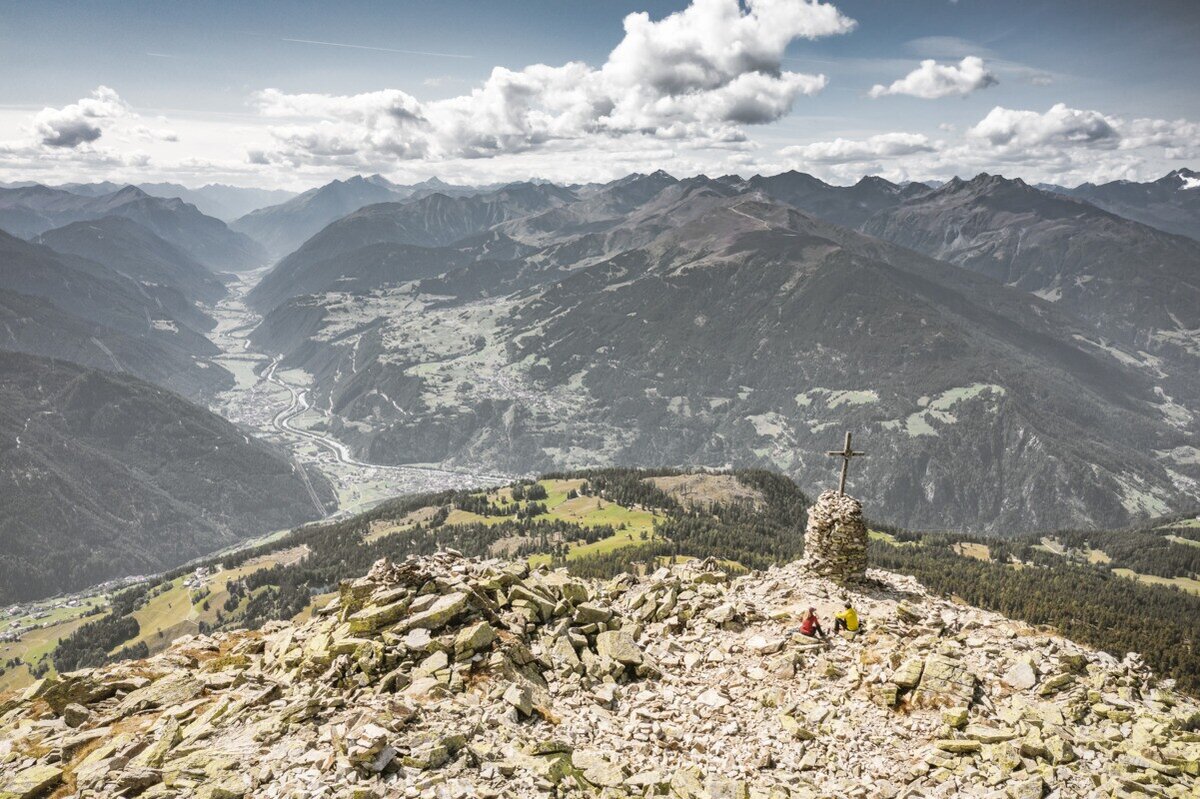
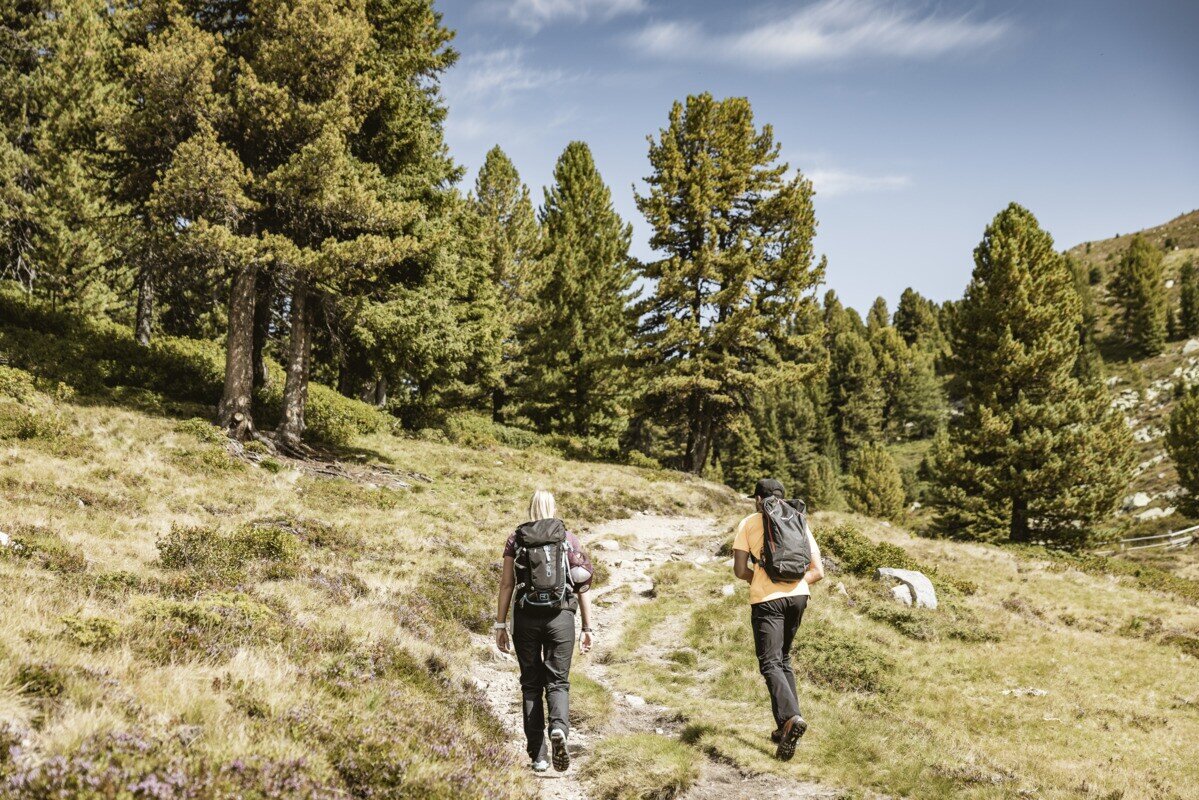
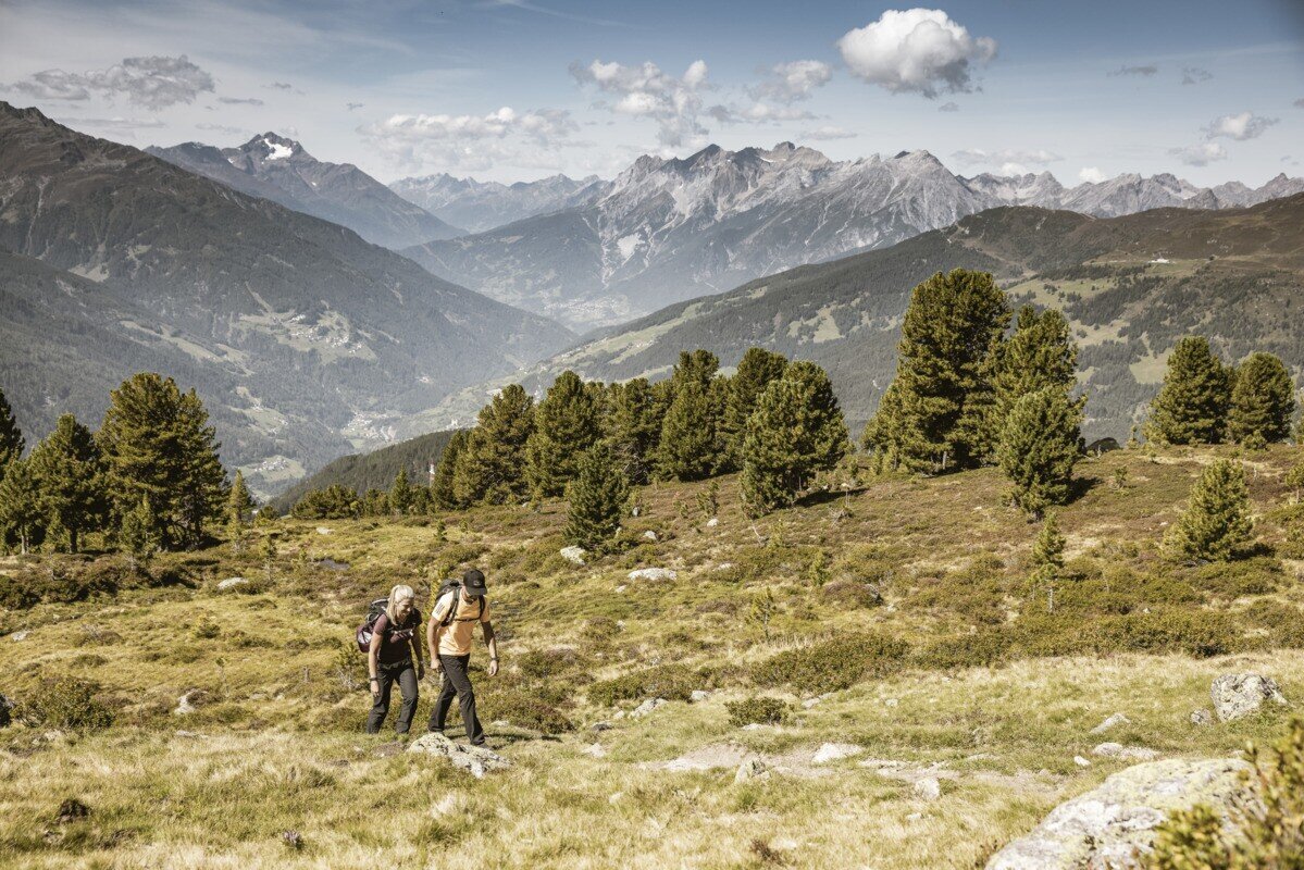
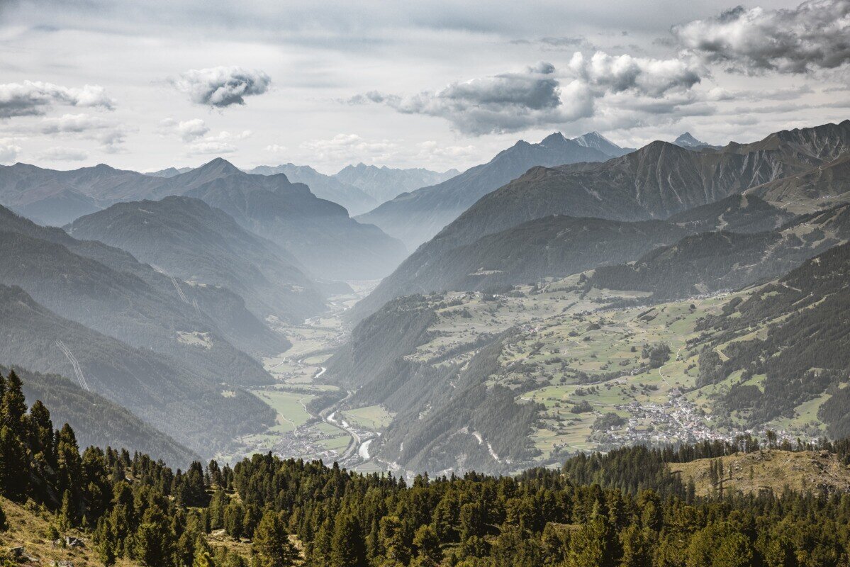
From there, the trail leads past the alm building and ascends over beautiful pastures surrounded by Swiss pine trees. The well-marked path climbs at a comfortable gradient, crossing the treeline and then following a broad ridge. At a signpost along the ridge, turn south to continue up to the Aifner Spitze (2,558 m). Even at the small summit cross, perched on a large stone base, hikers are rewarded with stunning panoramic views over the Kaunertal valley and, beyond the Inn Valley, all the way to Switzerland.


