Hiking tour

Margreit - Eggele- Tösens

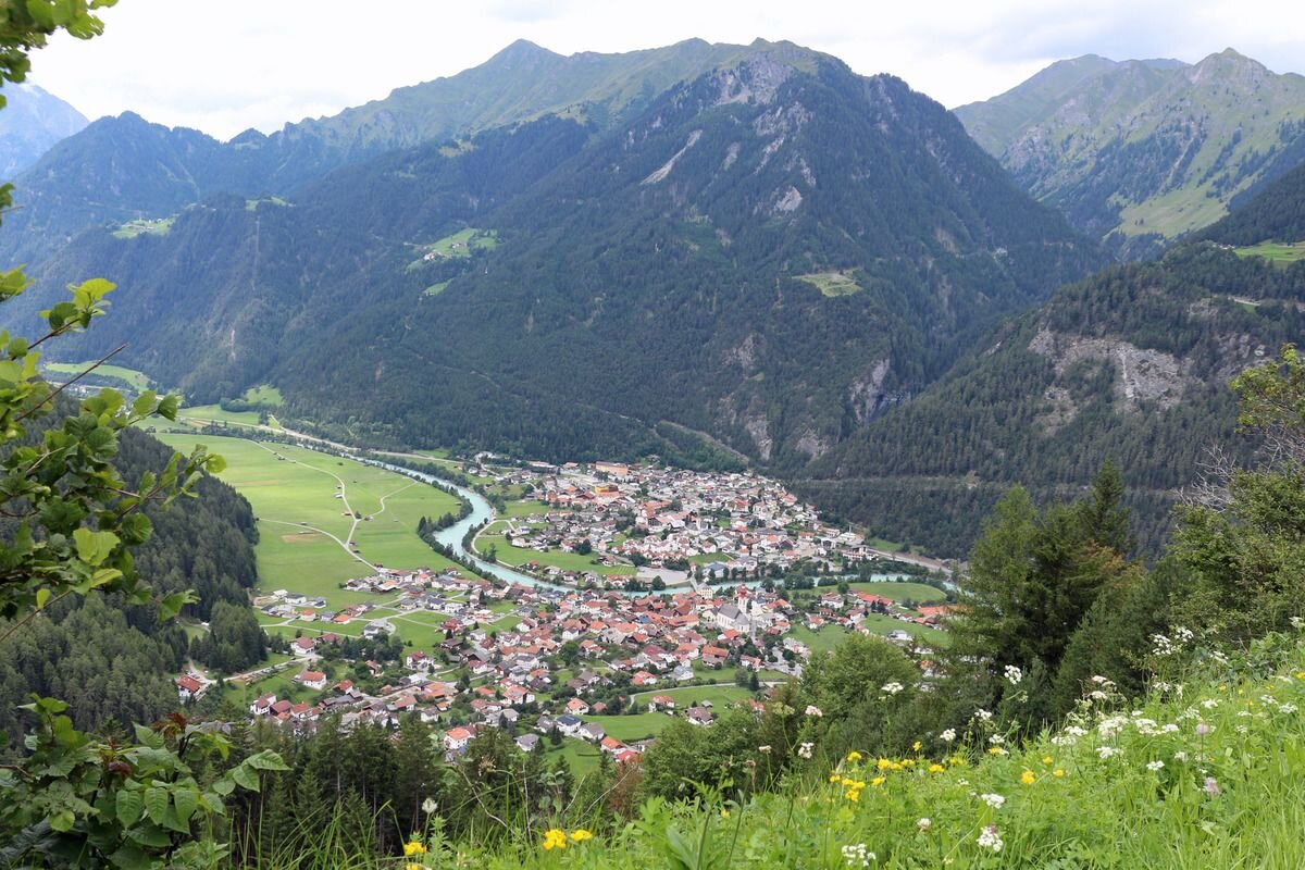
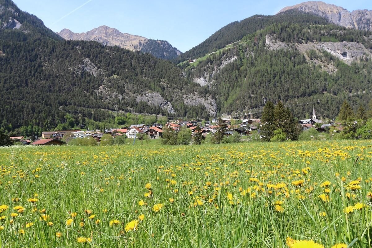
From the information office Pfunds you walk towards the village, over the bridge over the river Inn with the tower "Turaloch" up towards the village. Turn left in the direction of the Dorf roundabout, continue in the roundabout in the direction of Greit. Along the Greiterstraße past the Margreit bend, the path branches off left into the forest and leads along a wider forest path above Margreit towards Landeck. The path leads to the hamlet of Eggele and from here it goes slightly downhill to the neighbouring village of Tösens. 

Tip: Return journey with the public buses 
 
3.8:1.8h
380m
11.2km
Highest point
1355m
Start point
Infobüro Pfunds
End point
Gemeindeamt Tösens

Similar Tours

Medium
400m | 8.7km
Hiking tour
Trail - Parcour - Mutzkopfrunde
Begin: Talstation Mutzkopflift
End: Gasthof Martha
Easy
16m | 1h | 3.5km
Hiking tour
Wanderung über Wanderweg 9c zum Riatschhof
Begin: Bergstation Mutzkopfsessellift
End: Nauders Dorf
Medium
760m | 5h | 8.8km
Hiking tour
Große Verpeilrunde
Begin: Feichten
End: Verpeilhütte
Medium
769m | 8h | 18.3km
Hiking tour
Kobler Alm - Bergwiesen - Hahntennenberg - Ochsenberg
Begin: Parkplatz Kobler Alm
End: Infobüro Pfunds
Medium
268m | 1.75h | 3.1km
Hiking tour
Kleine Verpeilrunde
Begin: Verpeilalm
End: Verpeilalm
Easy
310m | 2.75h | 5.4km
Hiking tour
Oberer Lärchenwiesenweg
Begin: Parkplatz Bergbahn Fendels
End: Parkplatz Bergbahn Fendels
Medium
860m | 10h | 8.7km
Hiking tour
Roter Schrofen (2.702m) und Mittagskopf (2.616m)
Begin: Infobüro Kaunertal
End: Infobüro Kaunertal
Easy
518m | 4h | 8.4km
Hiking tour
Wanderung zum Schwarzen See
Begin: Nauders
End: Nauders