Hiking tour

Matonkopf

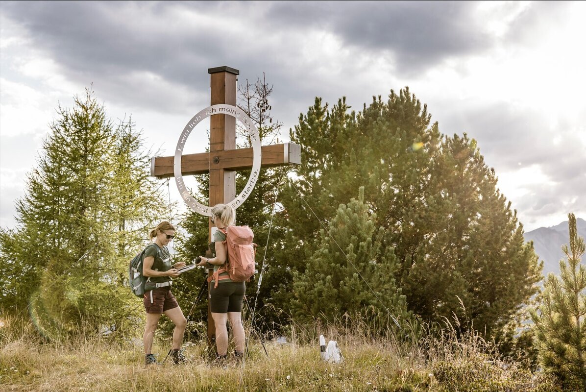
The start is in the district of Übersachsen, which can be easily reached by car. There are two car parks, one in front of Übersachsen at the old gravel hut and one at the Langhaus. It takes about 2 hours to walk from Übersachsen to the Matonkopf. The path is partly flat, partly uphill and continues to the Langhaus and across the ‘Fadele-Wiesen’ to the Langezberg shepherd's hut. At the hut, a somewhat steep path (marked with red dots on the stones) leads to the left to the Matonkopf. From there you have a very beautiful view!
tour1
4.1:1.8h
626m
6.5km
Highest point
2150m
Start point
Übersachsen | Tösens
End point
Übersachsen | Tösens

Similar Tours

Medium
697m | 4.87h | 11.8km
Hiking tour
Thomas Penz Höhenweg (Langetsberg-Kehm-Feichten)
Begin: Quellalpin Feichten
End: Quellalpin Feichten
Medium
593m | 4.5h | 9.2km
Hiking tour
Kaiserschützenweg - fortress variant
Begin: Festung Nauders
End: Nauders
Medium
800m | 6h
Hiking tour
Ebene und Ferminzkopf
Begin: Nauders
End: Nauders
Easy
368m | 4.5h | 8.3km
Hiking tour
Schwarzer and Grüner See
Begin: Bergstation Mutzkopf
End: Talstation Mutzkopf
Medium
315m | 2.5h | 5km
Hiking tour
Zur Jägerhütte (2.117 m) - Hapmes
Begin: linke Uferstraße (Bushaltestelle)
End: Jägerhütte
Medium
741m | 7h | 16.5km
Hiking tour
Small Schafkopf
Begin: Bergstation Bergkastel
End: Nauders
Medium
1096m | 8h | 17.59km
Hiking tour
Ochsenberg | Rundwanderung
Begin: Parkplatz Vorderkobl | Pfunds
End: Parkplatz Vorderkobl | Pfunds
Medium
588m | 4.92h | 13.5km
Hiking tour
Frudiger | Circular Hike
Begin: Parking area Tscheylücke | Pfunds
End: Parking area Tscheylücke | Pfunds