






















Hiking tour
Kaiserschützenweg - fortress variant


Opening status | Closed
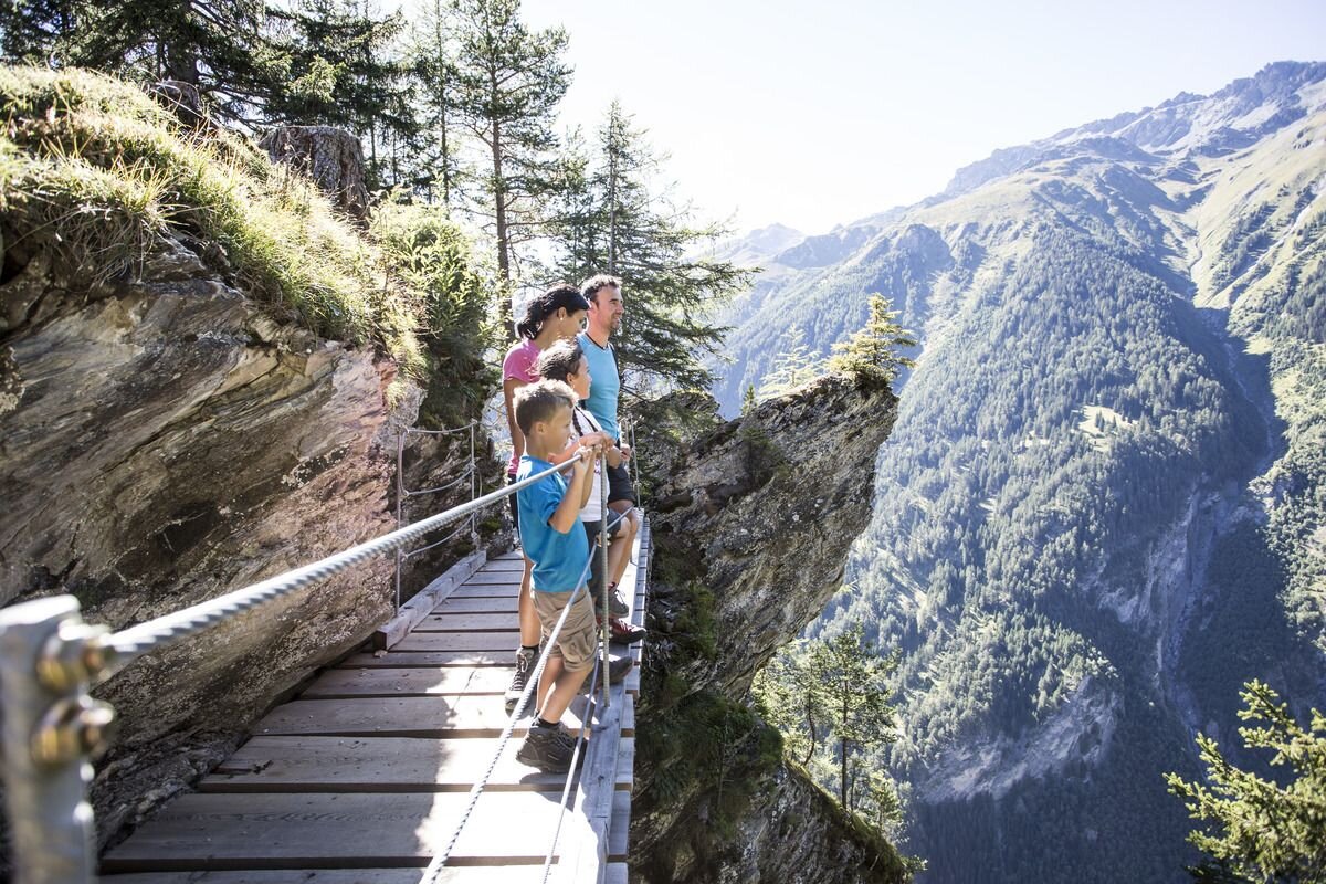
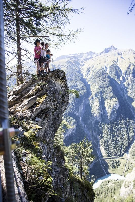
Starting from Nauders, Hiking trail no.13 leads to the Nauders Fortress (1,186 m), the entrance to the Kaiserschützenweg. Over 500 lofty metres altitude, initially over steps, then on an secured climb, the path leads past the north side of the fortress. Then it leads about 2.5 kilometres through the forest up to the accessible rock caverns on the Sellesköpf (1,646 m). From the highest point on to the Zettler Alm and along Trail no. 2 towards the Schöpfwarte and back to the Norbertshöhe. There are wonderful views of Altfinstermünz, the High Tower, Bergkastel and the Engadine. The way back is via Trail no.1. The historic fortress and the Kaiserschützen memorial located there mark the starting and ending point of the nine kilometre circular route. Information boards along the route tell exciting stories from the First World War, the
"Kaiserschützen" and the importance of the Reschenpass as an Alpine crossing.
Note: The positions were built in the event of an Italian breakthrough on the Ortler front, but were never used. The fortress was built between 1834 and 1840 under Emperor Franz I and Ferdinand I.
"Kaiserschützen" and the importance of the Reschenpass as an Alpine crossing.
Note: The positions were built in the event of an Italian breakthrough on the Ortler front, but were never used. The fortress was built between 1834 and 1840 under Emperor Franz I and Ferdinand I.
tour1
4.5:0h
593m
9.2km
Highest point
1651m
Start point
Festung Nauders
End point
Nauders


