

















Hiking tour

Kaunerberg - Aifner Alm

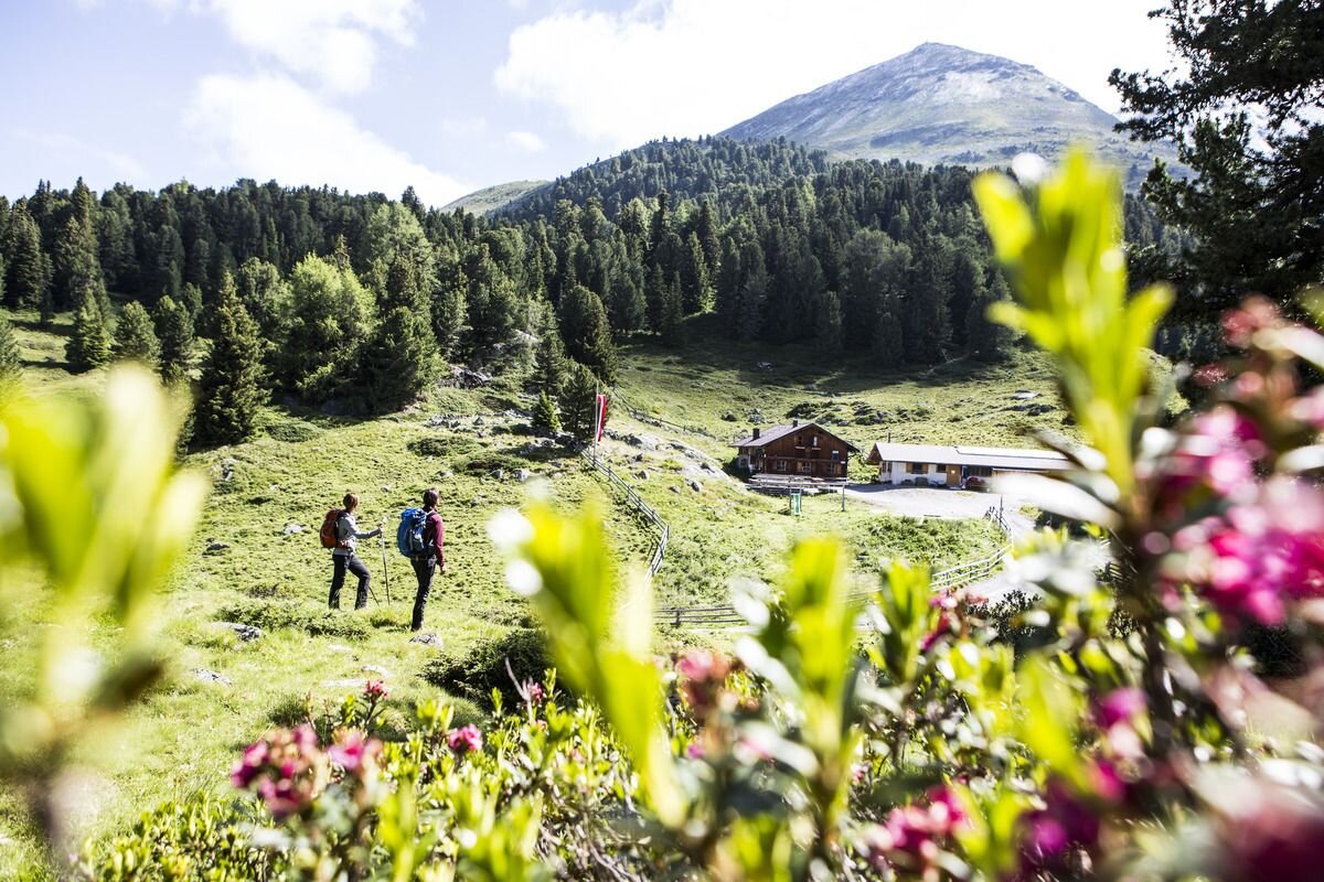
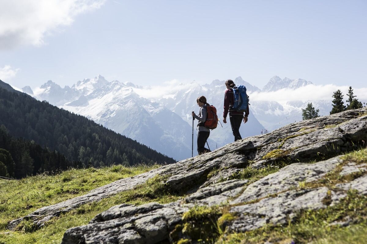
The holiday and recreation village of Kaunerberg, with its many small hamlets, is situated at an altitude of 1,270–1,600 m. From there, hikers follow forest trails and mountain paths up to the Aifner Alm at 1,980 m. Around the treeline, extensive Swiss pine forests and moors can be found. The staffed alpine hut, complete with a stable and dairy, is located on the southwestern slope of the Aifnerspitze. From here, visitors can enjoy a magnificent panorama of the highest peaks of the Kaunergrat. From Aifner Alm, both the Aifnerspitze and the Hohe Aifnerspitze can also be climbed.
tour1
4.8:1.8h
658m
10.71km
Highest point
2013m
Start point
municipal office | Kaunerberg
End point
municipal office | Kaunerberg

Similar Tours

Medium
438m | 3h | 8.9km
Hiking tour
Rescher Alm
Begin: Bergstation Mutzkopf
End: Reschner Alm
Medium
320m | 4h | 10km
Hiking tour
Gepatschhaus - Nassereinalm - Seepanorama
Begin: Gepatschhaus
End: Seepanorama
Easy
241m | 2.5h | 6.7km
Hiking tour
Wanderung Schwarzer See
Begin: Bergstation Mutzkopf
End: Talstation Mutzkopf
Medium
427m | 3.25h | 7.78km
Hiking tour
Kälberberg
Begin: Haus Edelweiss | Spiss
End: Haus Edelweiss | Spiss
Medium
543m | 3.9h | 8.04km
Hiking tour
Frudiger
Begin: Parking area Tscheylücke | Pfunds
End: Parking area Tscheylücke | Pfunds
Easy
280m | 2.75h | 2.2km
Hiking tour
Nassereinalm (2.040 m)
Begin: Gepatsch Stausee
End: Nassereinalm
Medium
665m | 7h | 15.7km
Hiking tour
Mataunkopf (& Ganderbildspitze)
End: Nauders
Easy
368m | 4.5h | 8.3km
Hiking tour
Schwarzer and Grüner See
Begin: Bergstation Mutzkopf
End: Talstation Mutzkopf