






















Krummgampental - Verborgener See (2.674 m)
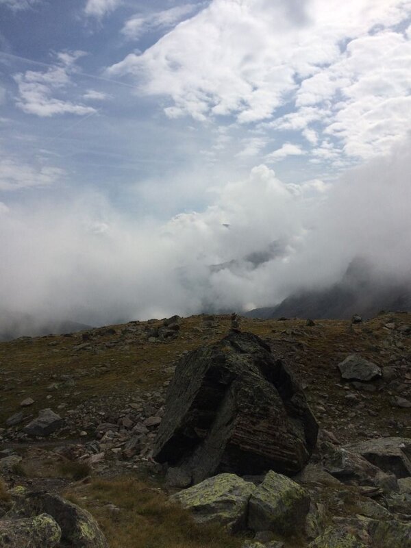
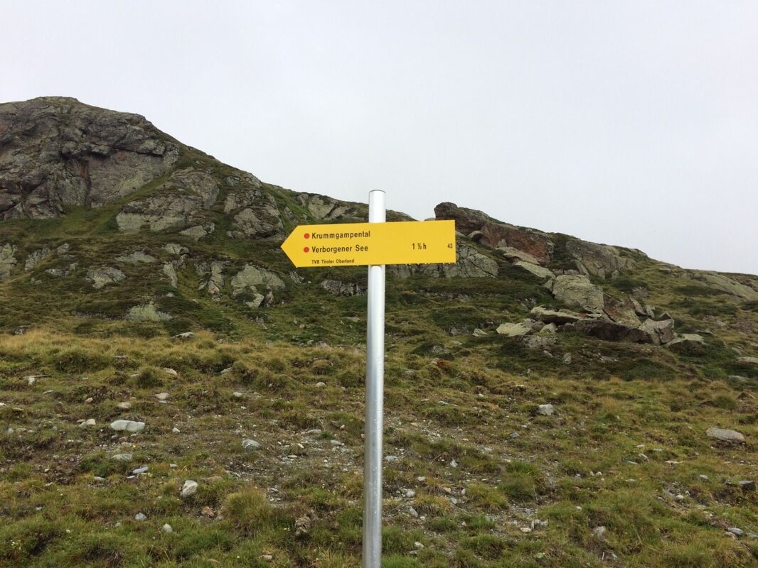
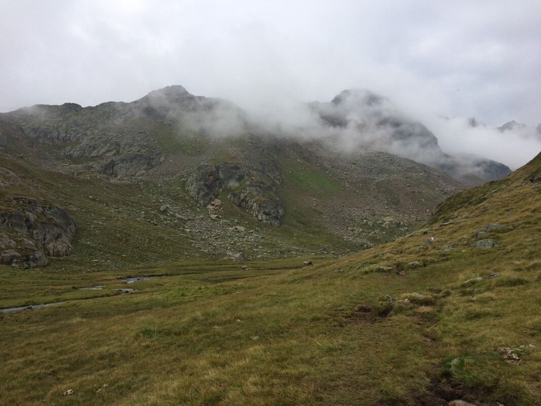
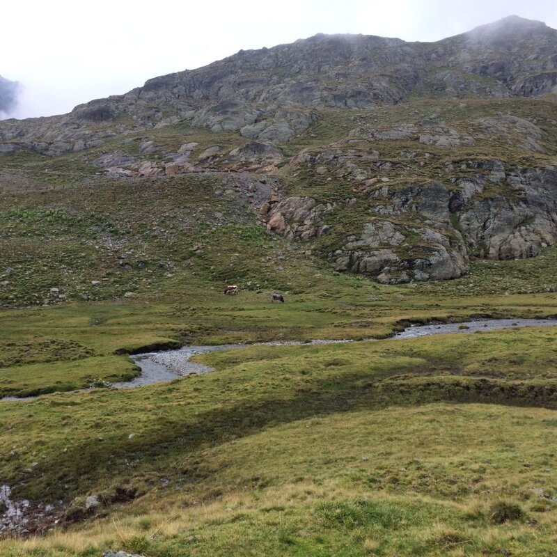
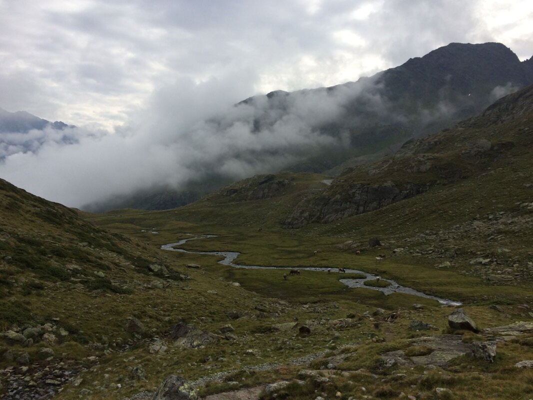
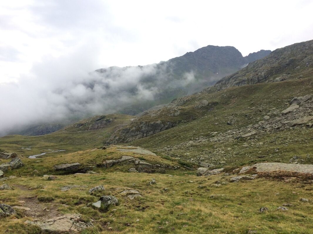
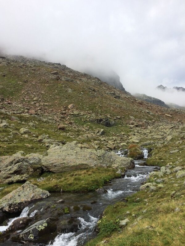
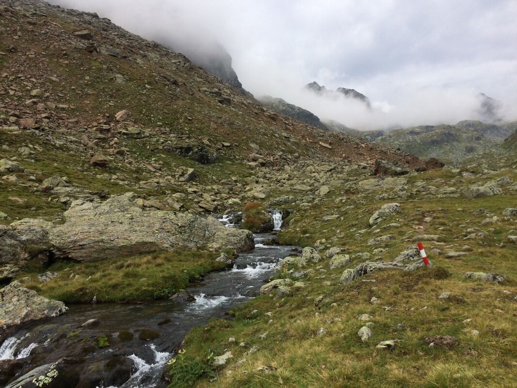
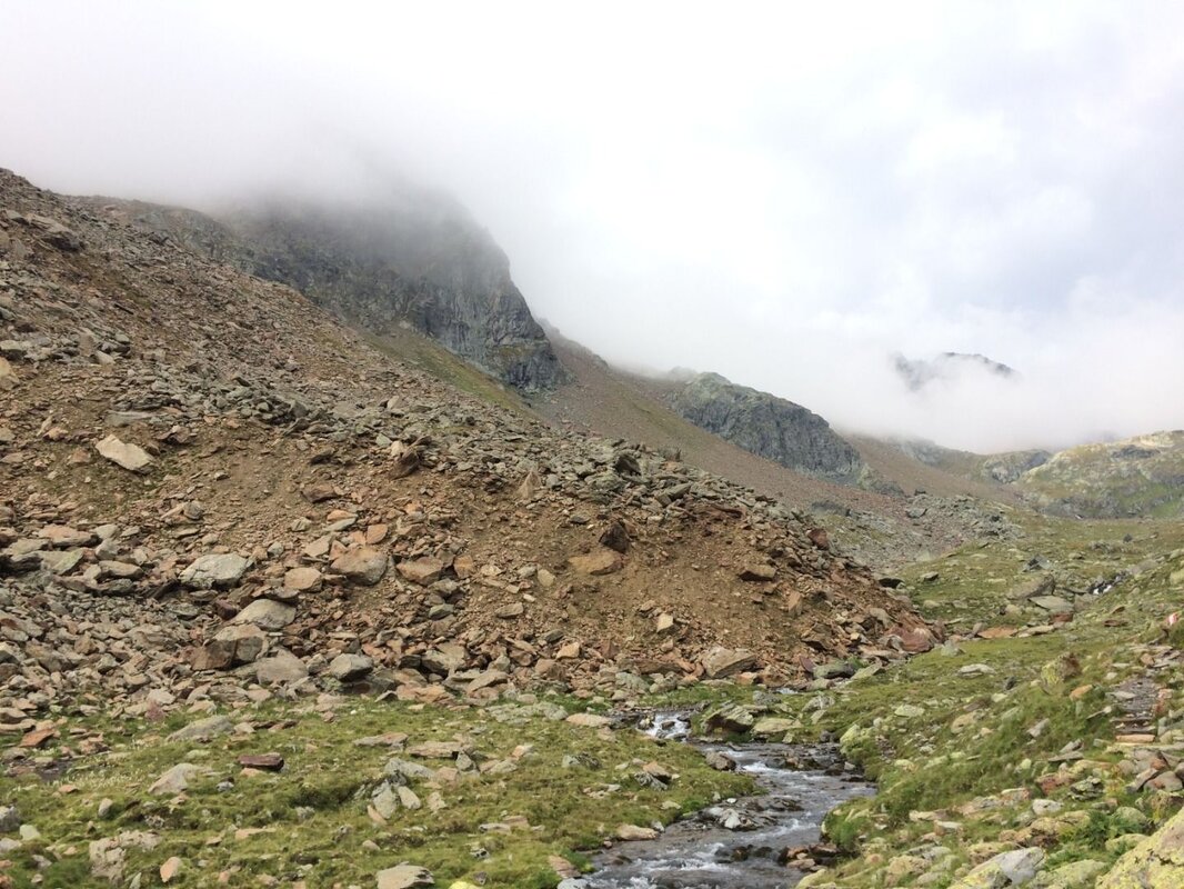
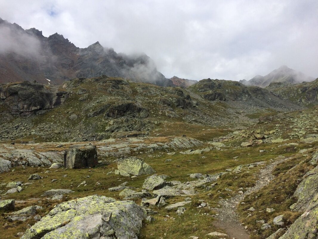


A leisurely family walk through an exciting and beautiful high valley, with plenty to discover!
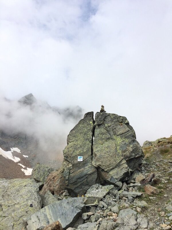
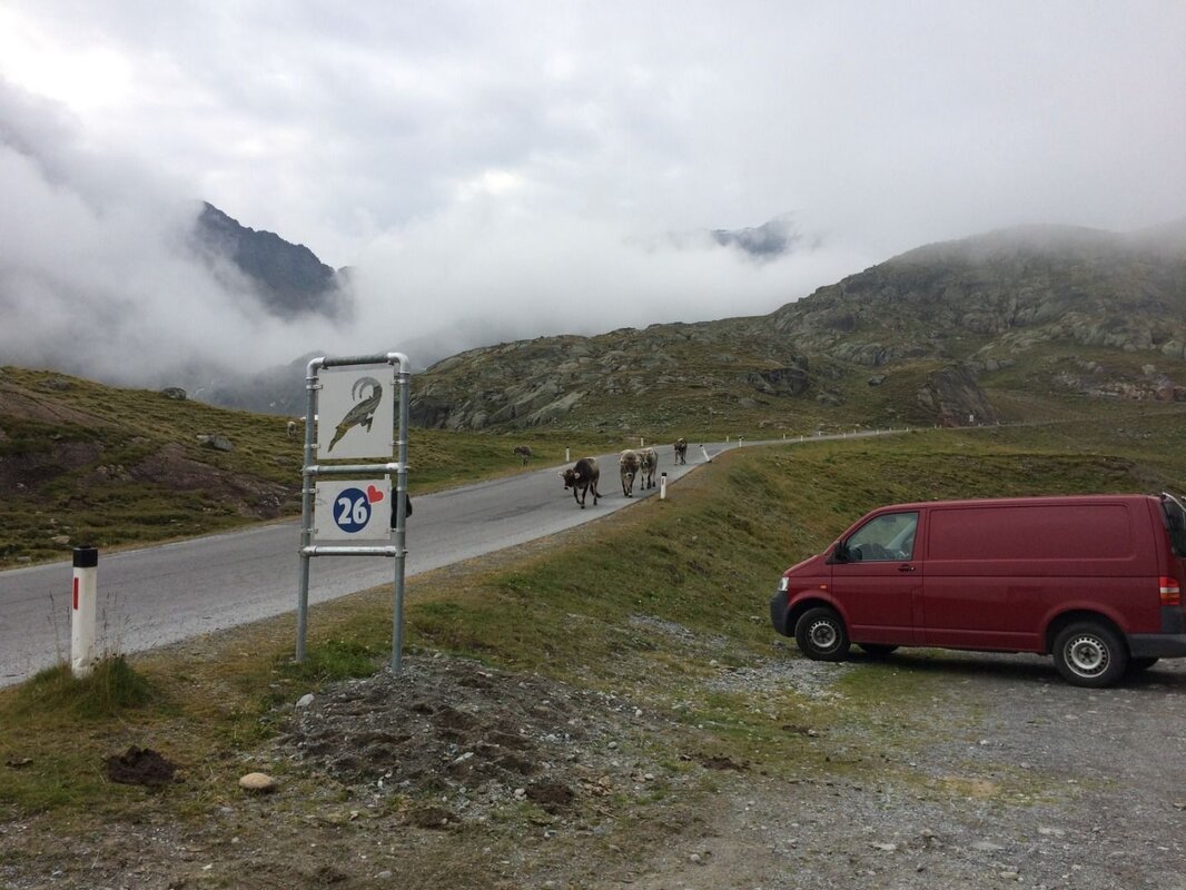
The starting point for this walk is at 2,400 metres above sea level and can also be reached by Postbus via the Kaunertal Glacier Road. At the entrance to the Krummgampental valley, there is a parking bay marked with the ibex sign no. 26.
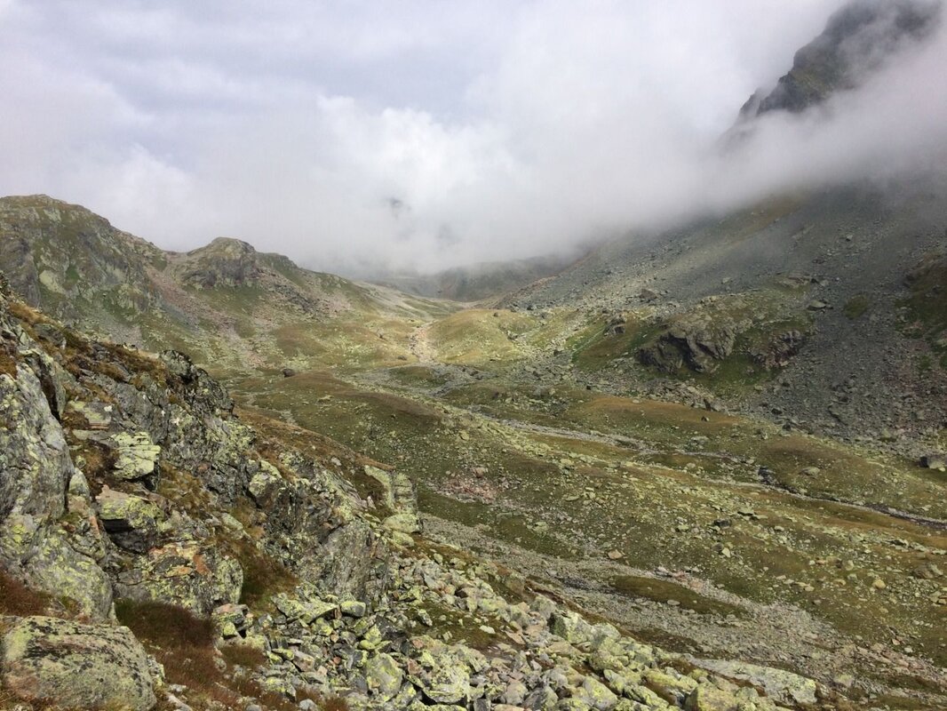
From the car park, follow the well-marked path which runs to the right of the beautiful Krummgampen stream. The path is easy to walk along and leads into the valley with only a gentle incline. Even on the first hilltop, the worn rock reveals traces of the valley’s past glaciation. Imagine a thick sheet of ice moving slowly down the slope under enormous pressure. As it moves, rock is carried along at its base, grinding away the surface of the underlying rock.
After crossing a junction straight ahead, you will spot a steep, bare rock face to the left of the stream. This is the face of a rock glacier, which has already buried part of the stream. A few minutes later, the path runs once again over what are known as glacial striations.
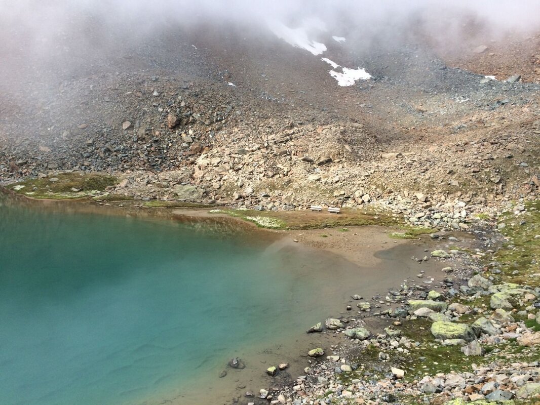
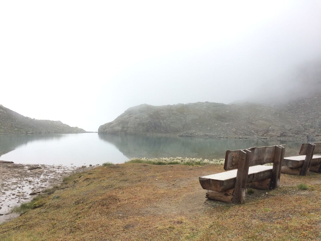
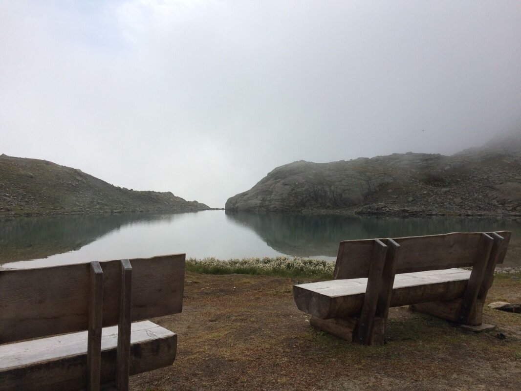
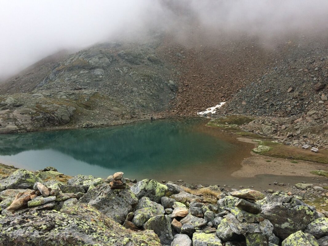
Following the path, you walk past large boulders. You have now completed half of the ascent. After the next climb, you cross the stream on flatter ground and reach the final ascent. Here, you can once again see impressive glacial striations and glacial scratches. After a small plateau, you reach Verborgener See (Hidden Lake), whose formation is also attributable to the former glaciation in the Krummgampental valley. If you walk a short distance along the shore to the right, you’ll find a beautifully situated rest area in the south-western corner.
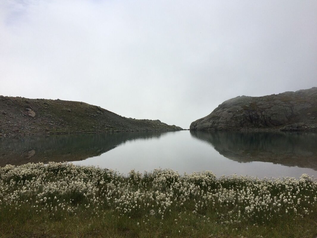
The lake’s silted-up area is covered in cotton grass, which further enhances the incredibly idyllic view across the lake. In this direction, the Hochvernagt Spitze (3,530 m) towers directly above the lake. This is a place to linger, to dream or to play – and certainly to enjoy! On the way back, simply follow the familiar path downhill to reach the starting point.
Bibliography:
K. Krainer (2016): Naturpark Kaunergrat (Pitztal-Fließ-Kaunertal), Gesteine, Gebirgsbildung und Formung der Landschaft.


