

















Hiking tour

Rauher Kopf

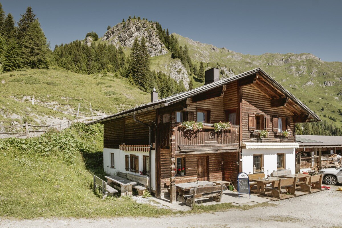
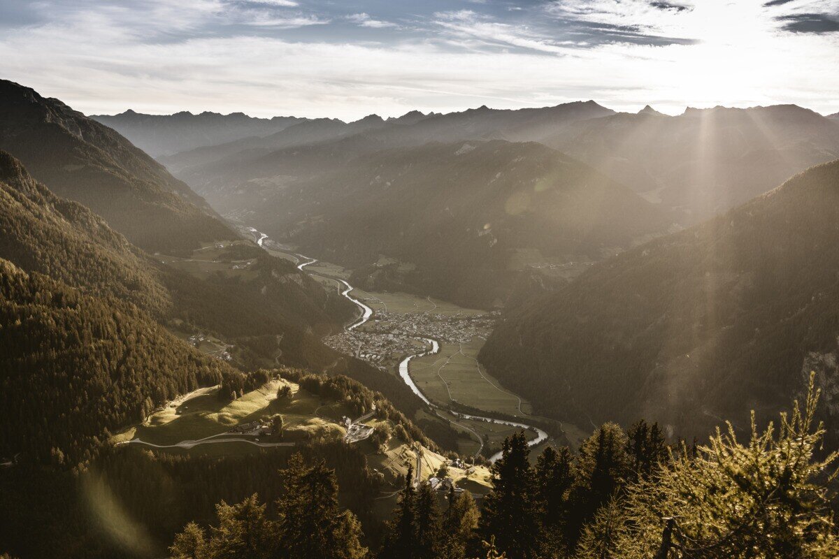
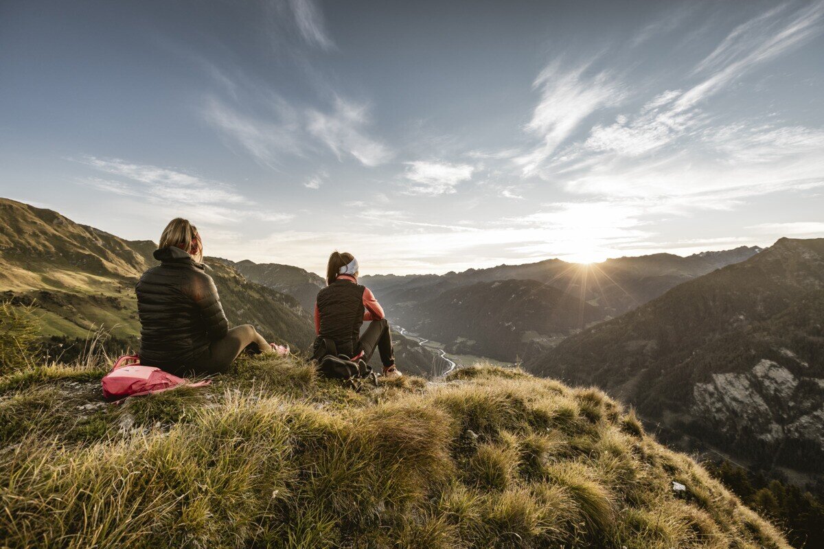
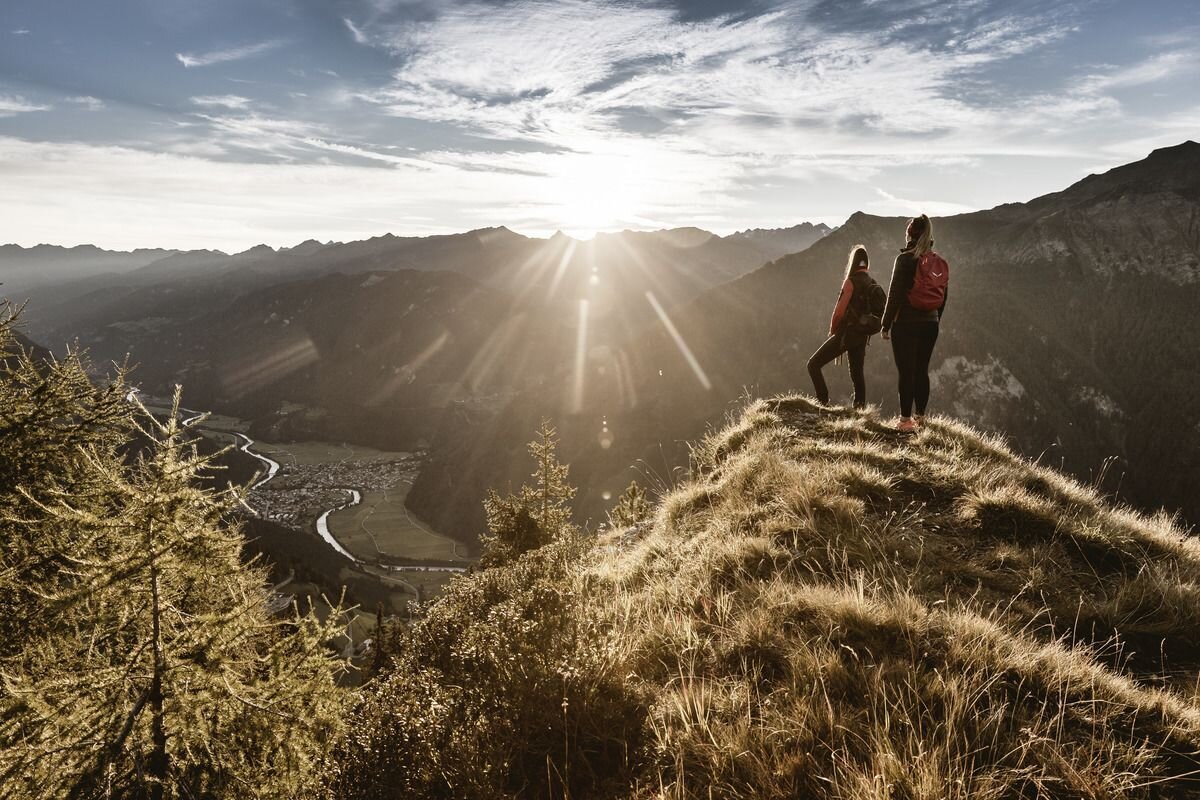
From the parking area near Kobler Alm, the trail first leads through lush alpine meadows up to the hut, where beautiful views of Pfunds and the surrounding mountains already open up. The route then continues past the alm in the direction of Spiss until a path soon branches off to the left into the dense high forest. Following this trail steadily uphill eventually leads to the summit. At the top, hikers are rewarded with an impressive panorama – stretching across the neighbouring Engadin, over Lake Reschen to the mighty Ortler massif, and down to Pfunds.
tour1
3:0h
385m
6.56km
Highest point
2024m
Start point
Kobler Alm | Pfunds
End point
Kobler Alm | Pfunds

Similar Tours

Medium
418m | 3.5h | 6.7km
Hiking tour
Weißseejoch 2.960 m
Begin: Kaunertaler Gletscherstraße 2.520 m Seehöhe oberhalb Weißsee
Medium
407m | 7h | 18km
Hiking tour
Nauders mountain trail
End: Nauders
Medium
626m | 4.13h | 6.5km
Hiking tour
Matonkopf
Begin: Übersachsen | Tösens
End: Übersachsen | Tösens
Medium
475m | 6h | 11.7km
Hiking tour
Nach Pfunds von der Labaunalm
Begin: Labaunalm
End: Pfunds Dorf
Medium
741m | 7h | 16.5km
Hiking tour
Small Schafkopf
Begin: Bergstation Bergkastel
End: Nauders
Medium
815m | 5.25h | 7.24km
Hiking tour
Hohe Aifnerspitze
Begin: Aifneralm | Kaunerberg
End: Aifneralm | Kaunerberg
Medium
581m | 4h | 5.11km
Hiking tour
Aifner Spitze
Begin: Aifner Alm | Kaunerberg
End: Aifner Alm | Kaunerberg
Difficult
765m | 5h | 6.7km
Hiking tour
Weißseespitze über den Westgrat (3.526 m)
Begin: Parkplatz Gletscherrestaurant Weißsee
End: Weißseespitze