Mountainbike tour | ...

752 | Pfundser Ochsenbergalpe

Opening status | Open

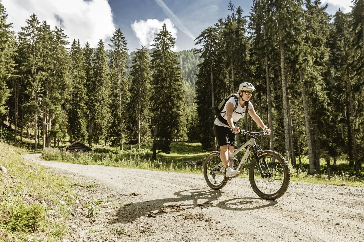
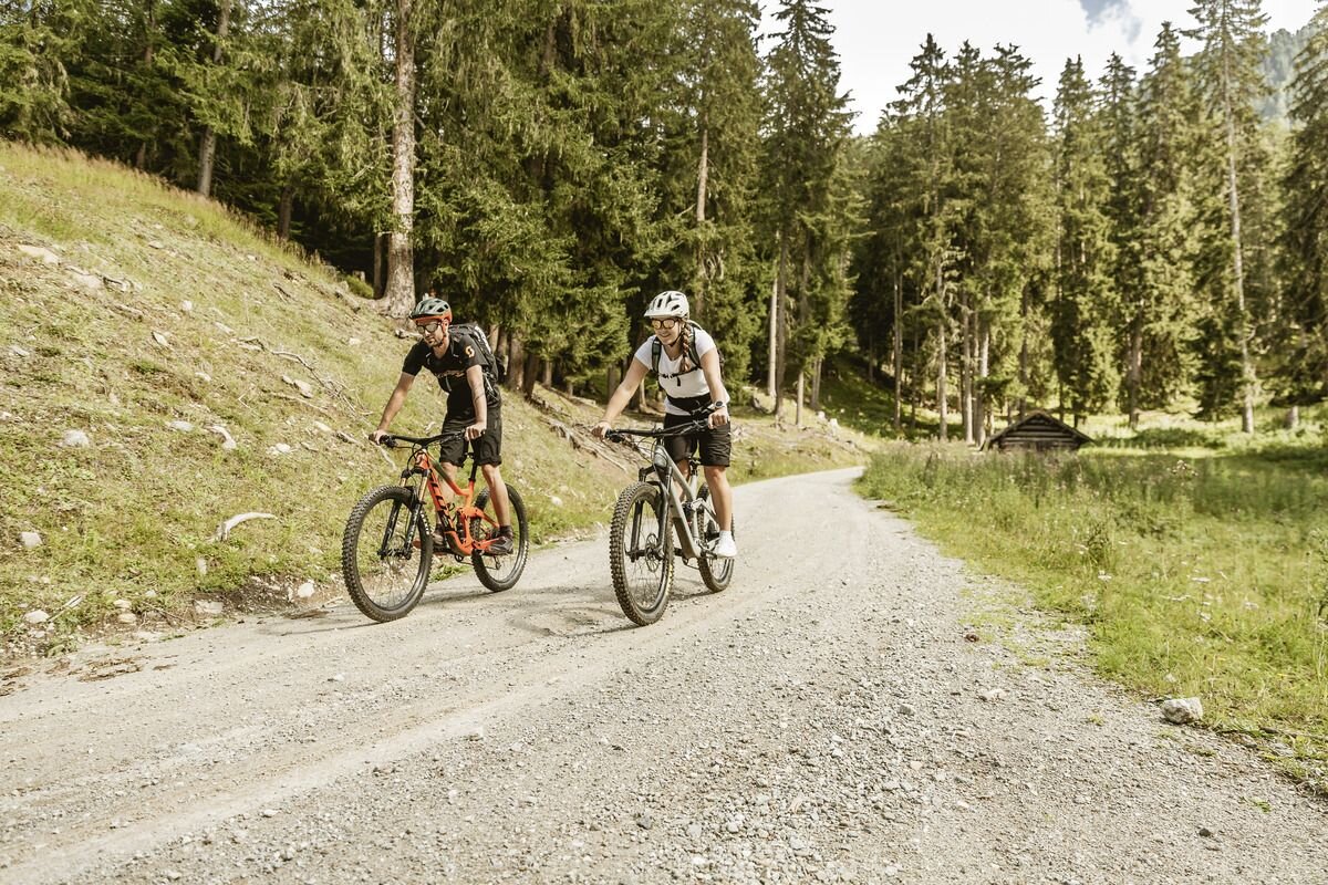
From the starting point in Pfunds, this challenging, always uphill tour first leads 2.2 kilometres along the asphalt road towards Kobl. At the junction, continue right along the forest path into the Kobl forest until you reach a clearing with a view of the valley and the Stubenbach stream. Follow this along the slope further into the valley. The increasingly narrow gorges conjure up bizarre rock formations in the landscape, while the Hohe Kopf (2440m) rests majestically to the north. Surrounded by the imposing peaks of the Saumnaun group, you reach the Ochsenbergalpe at around 2020 metres. In the summer months of July and August, there may be a small refreshment bar, otherwise this alp is not managed. After this training session of 1000 metres in altitude, the return route leads back to the starting point in Pfunds via the same route.

tour2
1025m
8.35km
Highest point
2023m
Start point
Touristoffice | Pfunds
End point
Ochsenbergalpe | Pfunds

Similar Tours

Easy
37.7km
Mountainbike tour
3-Länder Bike & Gondeltour
Begin: Nauders / Talstation Bergkasteln
End: Nauders
Medium
740m | 11.4km
Mountainbike tour
7109 | Ried - Fendels
Begin: Touristoffice | Ried
End: Mountain Railways car park | Fendels
Difficult
750m | 17.81km
Mountainbike tour
7036 | Durch den Kompatschwald
Begin: Nauders
End: Nauders
Medium
720m | 20.93km
Mountainbike tour
763 | Römerweg Tour
Begin: Town Hall | Tösens
End: Bikepark Serfaus-Fiss-Ladis
Medium
500m | 4.4km
Mountainbike tour
Verpeilalm
Begin: Schotterparkplatz kurz vor dem Quellalpin im Kaunertal
End: Verpeilalm
Medium
560m | 4.9km
Mountainbike tour
750 | Pfunds Wand
Begin: Touristoffice | Pfunds
End: Wand | Pfunds
Difficult
2100m | 62km
Mountainbike tour
Val Sinestra
Begin: Talstation Mutzkopfbahn Nauders
End: Talstation Mutzkopfbahn Nauders
Difficult
1200m | 21km
Mountainbike tour
7157 | Bike & Hike Matonkopf
Begin: Town Hall | Tösens
End: Town Hall | Tösens