


Hiking tour
Rundwanderung Faggen über Kauns
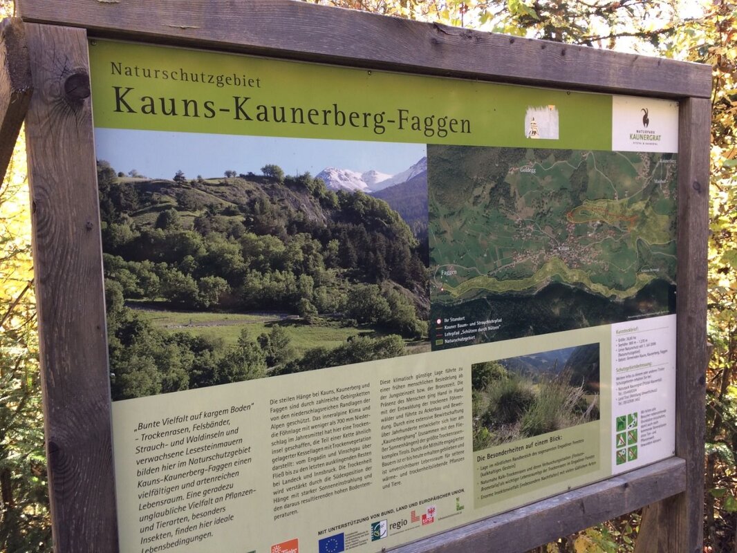


Short hike through part of the Kauns-Kaunerberg-Faggen nature reserve and the beautiful meadows at the foot of Kauns.
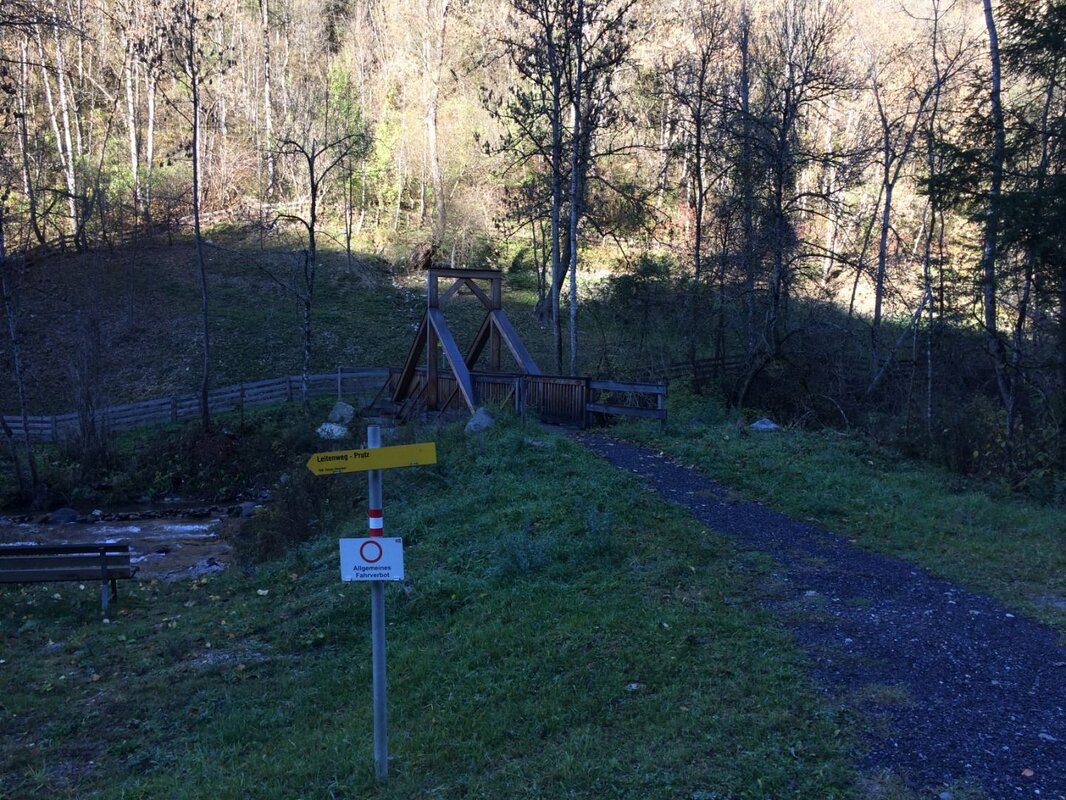
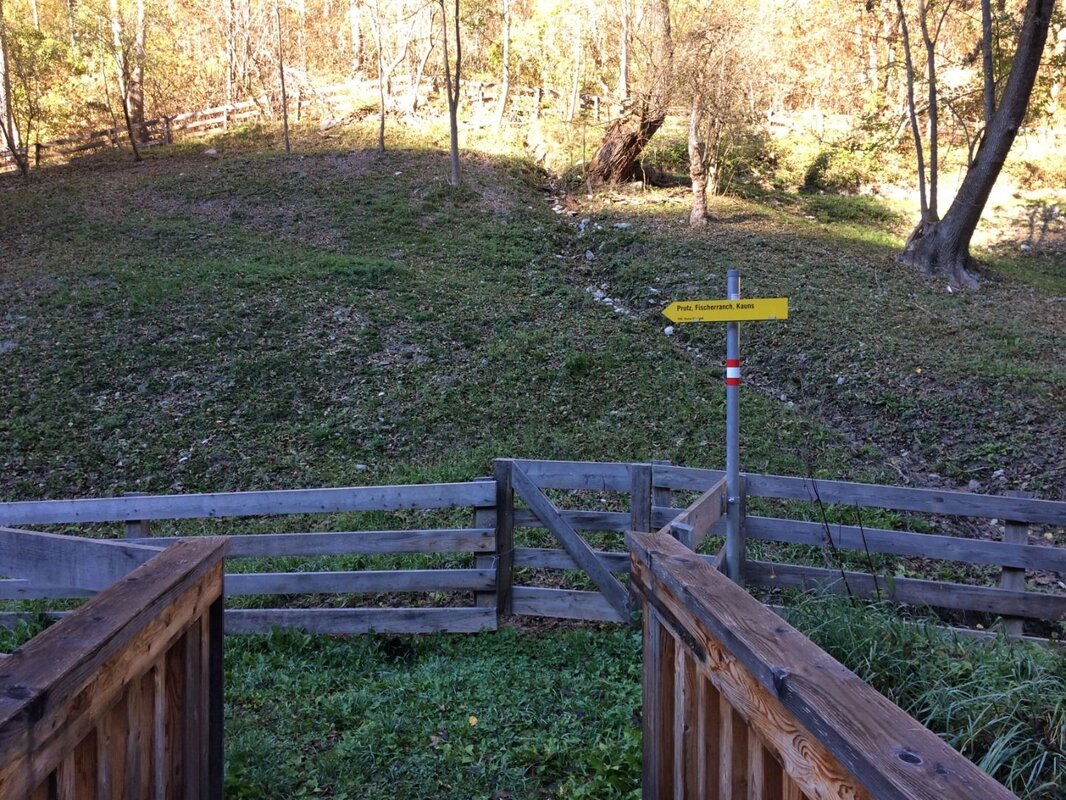
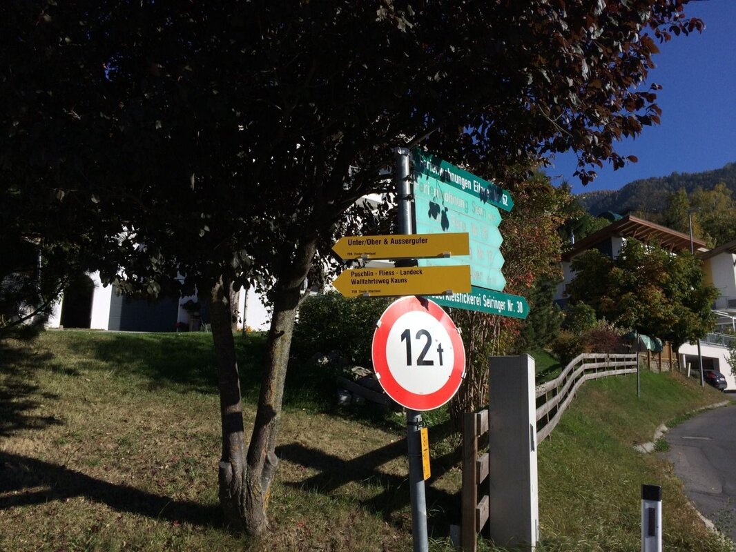
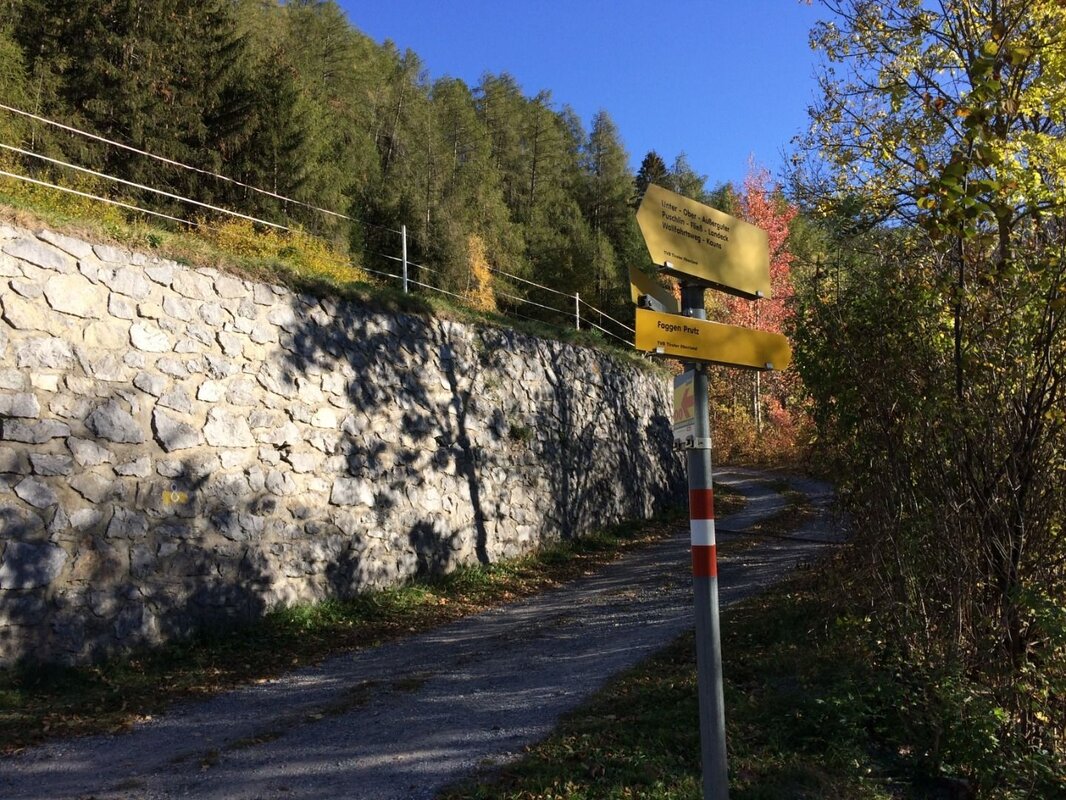
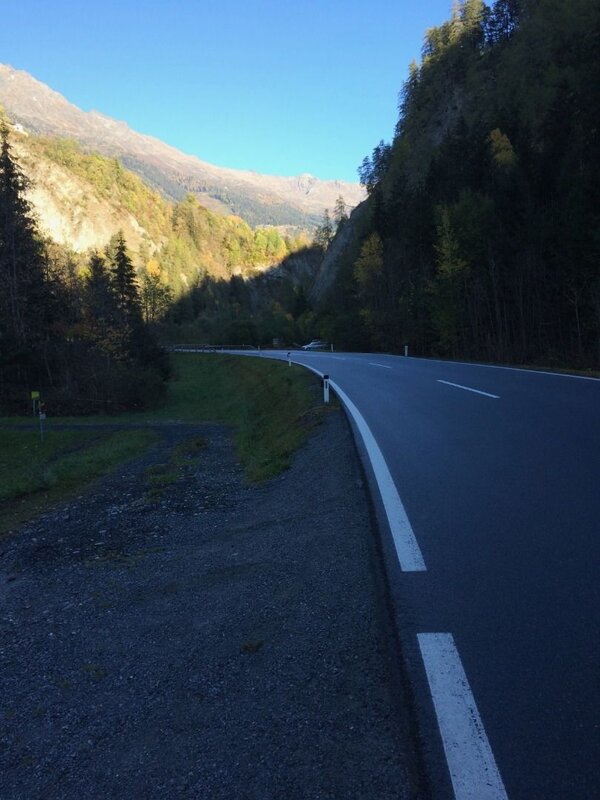
You start the hike at the information office in Prutz. After crossing the pedestrian bridge over the Fagge, follow the path towards Faggen. From the first houses in the municipality of Faggen, follow the road briefly downhill and then turn right until you reach the Faggen municipal office. There you turn right again, reach a church and follow the signs to the left towards Kauns. Follow this side road uphill until a gravel path branches off to the right just before a small chapel.
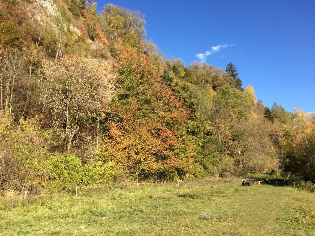
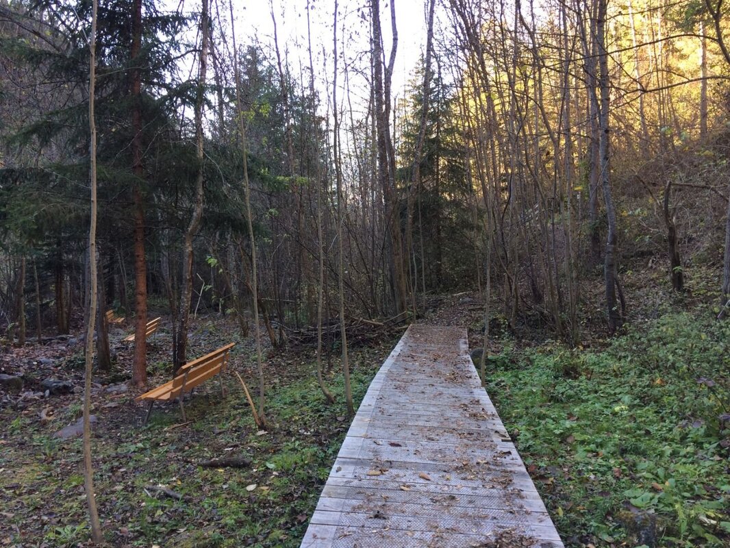
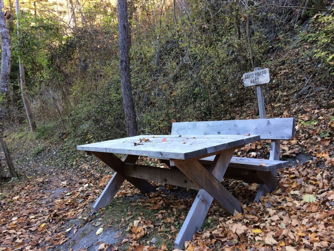
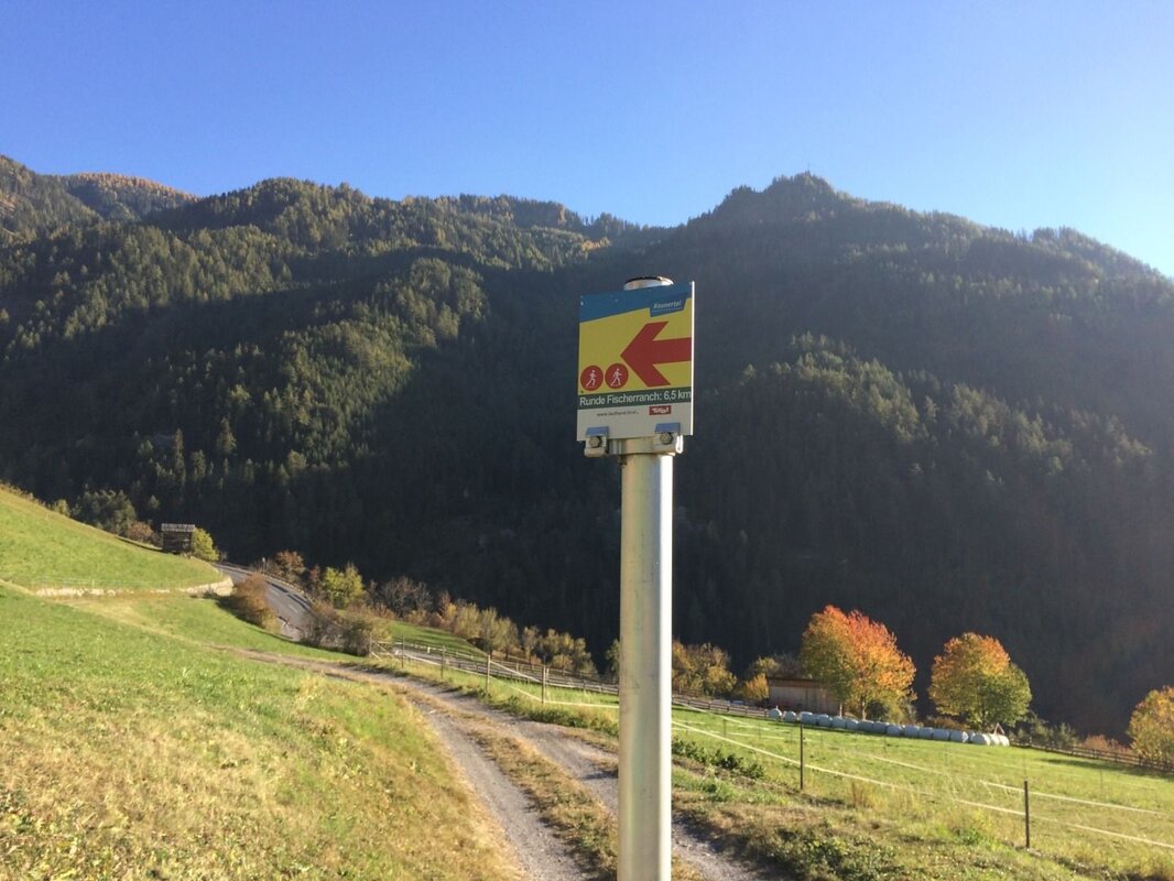
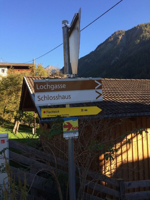
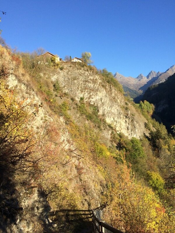
After a beautiful section of forest, you walk uphill through the marvellous, species-rich and sun-drenched meadows and reach the village of Kauns on a pleasant incline. In Kauns, cross the main road and follow the signs to the ‘Fischteich’ pond. Below the beautiful meadow orchards, a steep path now leads to the Fischerranch and then back to the starting point.
You start the hike at the information office in Prutz. After crossing the pedestrian bridge over the Fagge, follow the path towards Faggen. From the first houses in the municipality of Faggen, follow the road briefly downhill and then turn right until you reach the Faggen municipal office. There you turn right again, reach a church and follow the signs to the left towards Kauns. Follow this side road uphill until a gravel path branches off to the right just before a small chapel.
After a beautiful section of forest, you walk uphill through the marvellous, species-rich and sun-drenched meadows and reach the village of Kauns on a pleasant incline. In Kauns, cross the main road and follow the signs to the ‘Fischteich’ pond. Below the beautiful meadow orchards, a steep path now leads to the Fischerranch and then back to the starting point.
tour1
2:0h
160m
6.2km
Highest point
1016m
Start point
Fußgängerbrücke an der Kaunertal Landesstraße, nahe der Fischerranch (Ausgangspunkt Beschreibung!) Parkplatz Gemeindeamt Faggen Gemeindeamt Kauns
End point
Infobüro Prutz / Fußgängerbrücke an der Kaunertal Landesstraße, nahe der Fischerranch (Ausgangspunkt Beschreibung!) | Parkplatz Gemeindeamt Faggen | Gemeindeamt Kauns


