


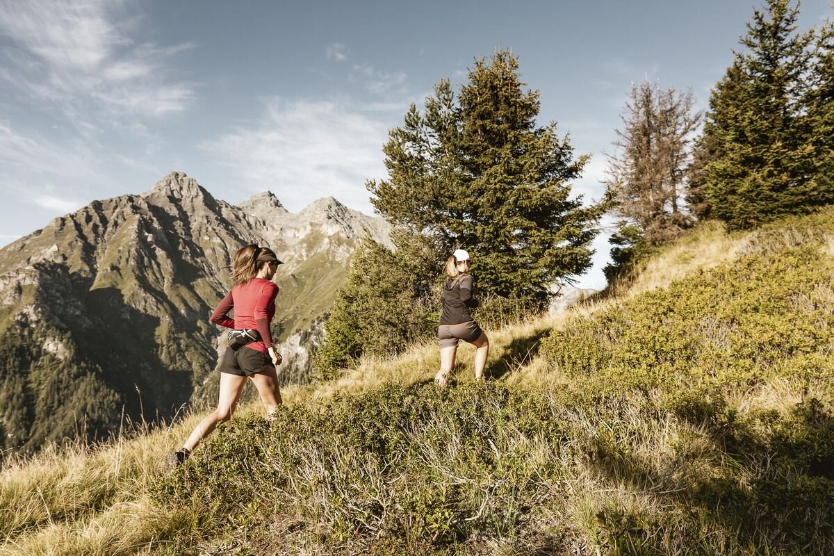
Running tracks
Ried-Tösens-Ried

Opening status | in preparation
The trail starts directly in the centre of Ried and continues to the end of the village to the long meadow. It goes left up to the long meadow until the end of the toboggan run Hohlenegg. The tour continues over a stream and crosses a road to Freitzberg. The tour continues over a climb to the state road to Tösens. Follow this to Steinbrücken and over the village road to Tösens. In front of the village square the trail branches off to the left towards Untertösens and returns via the old Via Claudia path via Frauns back to Ried and the village centre.
189m
12.8km
Highest point
985m
Start point
Information Office | Ried
End point
Information Office | Ried


