


Trailrunning
Anton-Renk-Trail | Terra Raetica Trails
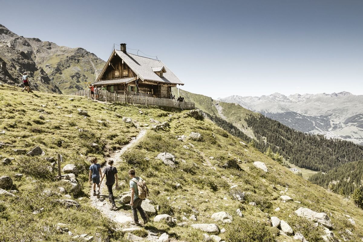
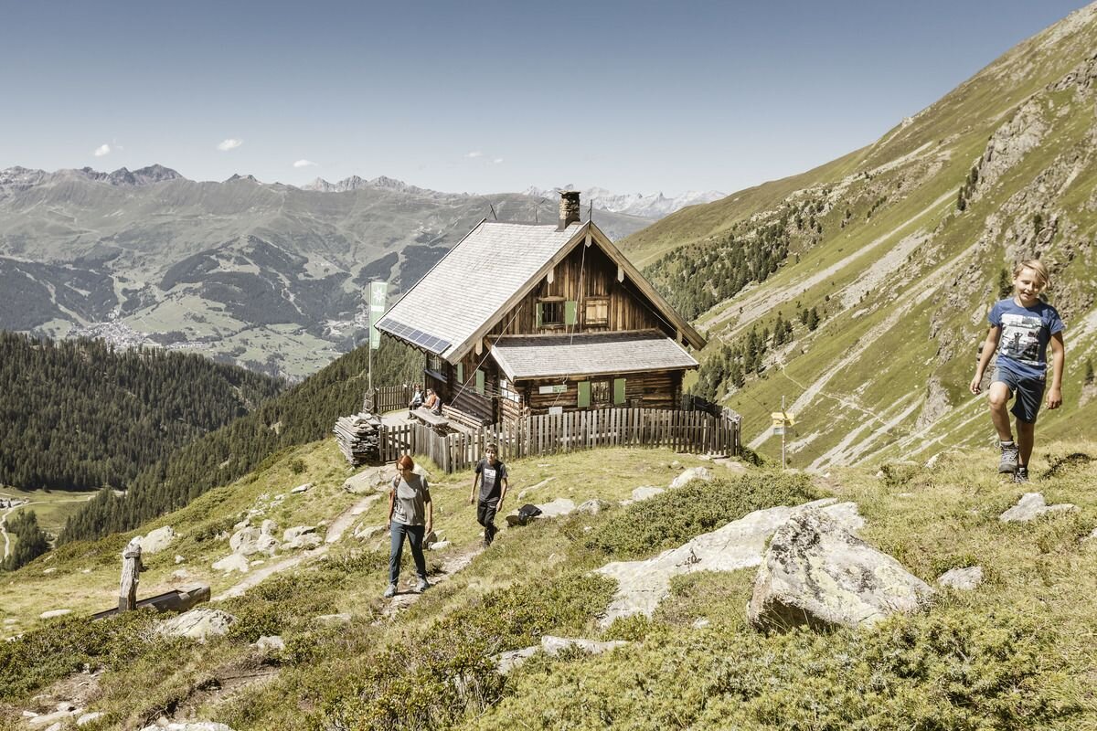
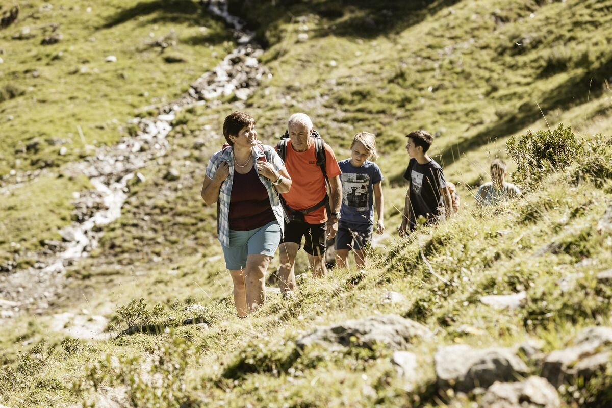


A longer and challenging trail running circuit that offers an unforgettable experience with the Anton Renk waterfall. You start in Ried at the municipal office and continue to the cable car station. At the start, the trail climbs steeply up to Fendels and on to the Fendler Alm, which is ideal for a refreshment stop after 1100 metres. Now the route becomes a lot flatter and shortly before the Zirmesköpfle, the trail follows the mountainside to the Anton Renk Hütte. Here you have a permanent view of the waterfall. Once you reach the rustic self-catering hut, it's all downhill. At the Stalanzer Alm, you can stop for refreshments and enjoy the waterfall before alternating between trails and forest paths back to Ried.
tour2
1477m
21.4km
Highest point
2256m
Start point
Information Office | Ried
End point
Information Office | Ried


