























Schweikertfernersee (2.680m)


Walk to the glacial lake in the stunning high-mountain cirque
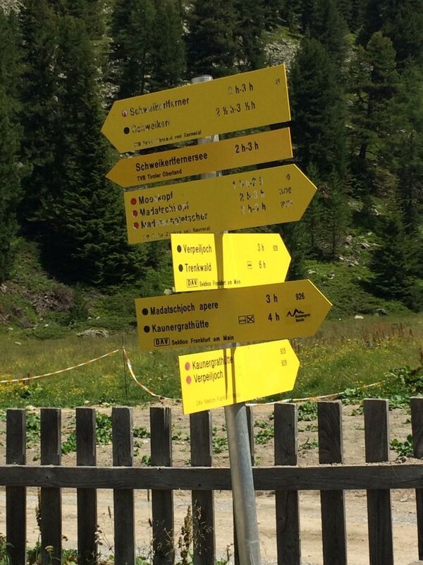
The starting point for this walk is the car park just below the Verpeilalm.
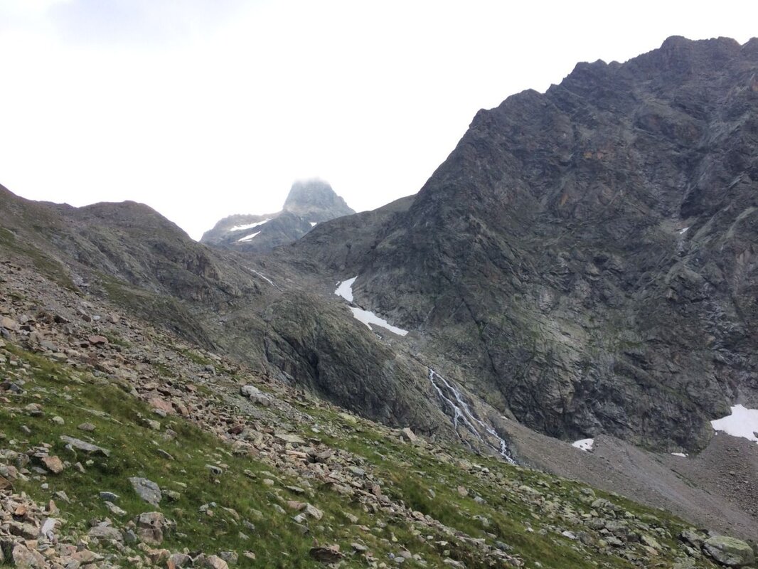
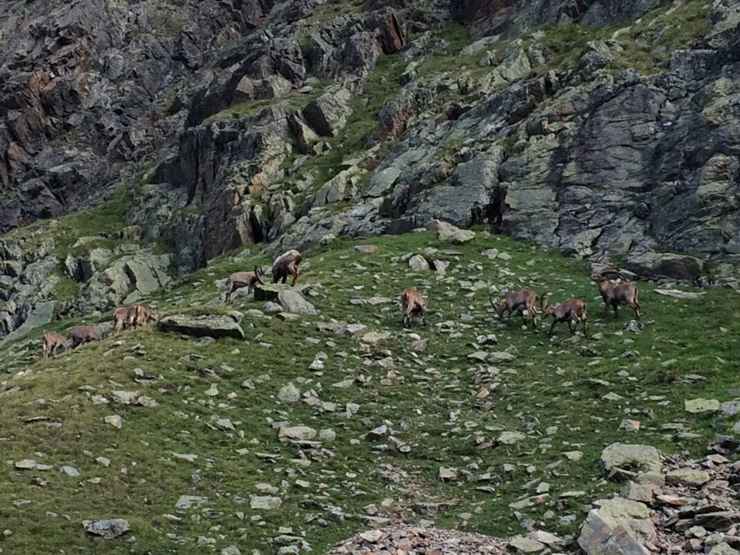
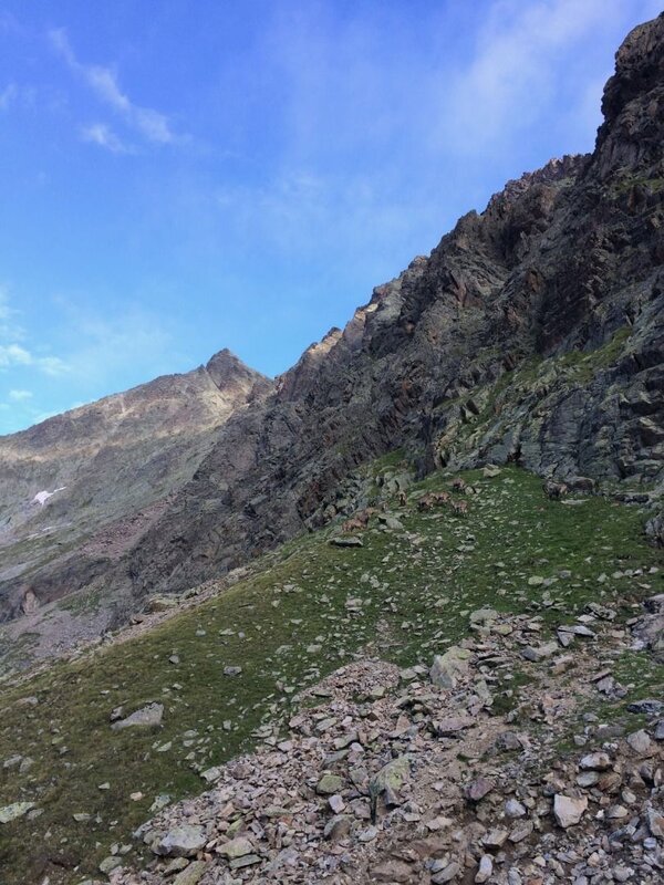
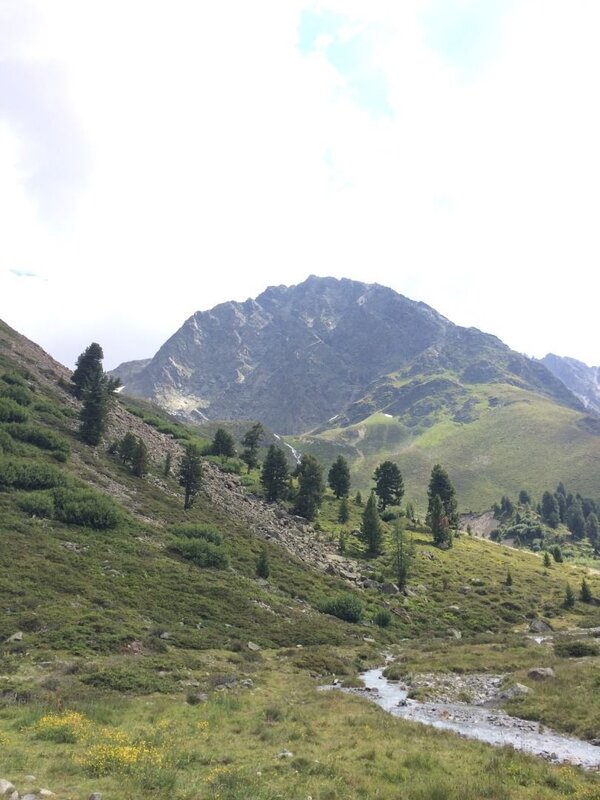
From here, you walk uphill along the path to the left of the stream to the idyllically situated Verpeilhütte (see description of the ‘Kleine Verpeilrunde’). Behind the hut, cross the Verpeilbach and follow the path as it curves to the left, leading uphill into the Roßkarle. On this section, you should pay close attention to the route so as not to lose sight of the path. Further up, however, the path remains clearly visible at all times. It is worth taking a pair of binoculars with you, as ibex can occasionally be spotted on the steep slopes below the Hochrinnegg (3,027 m). Marmots also appreciate the sunny spot and tranquillity of this cirque. The path leads steadily upwards, with a view of the waterfall, though the climb is by no means easy. In the upper section of the ascent – in the Roßkarle – you’ll need to cross a shallow stream. Caution is advised, as there is a risk of slipping!
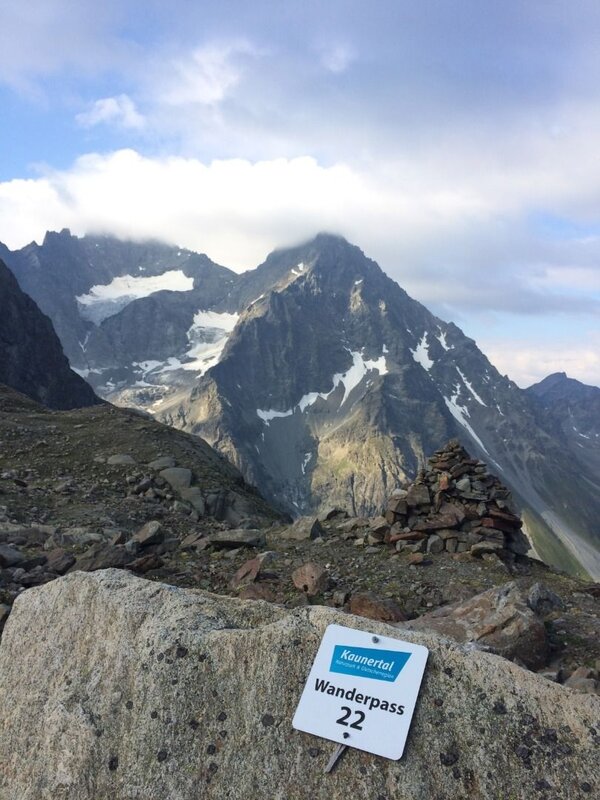
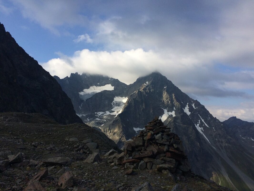
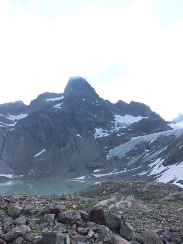
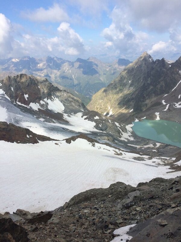
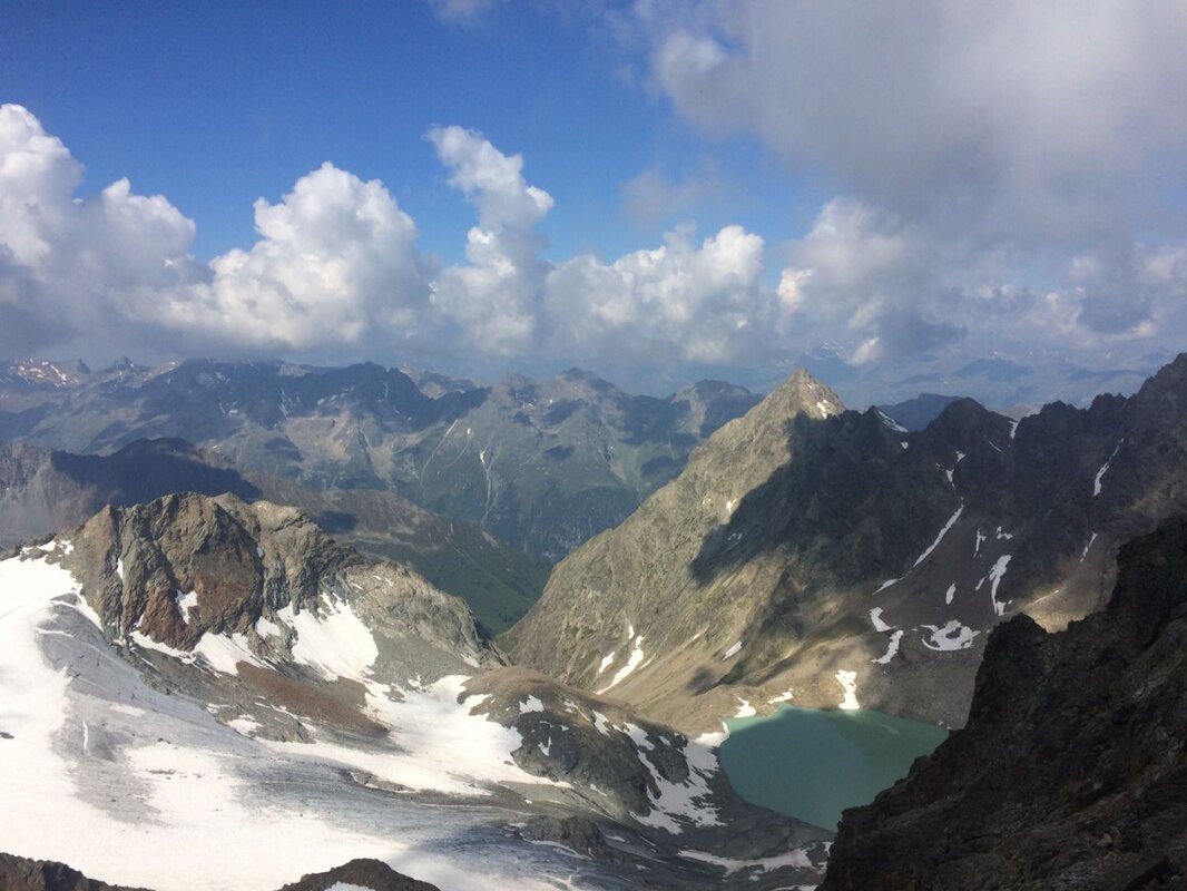
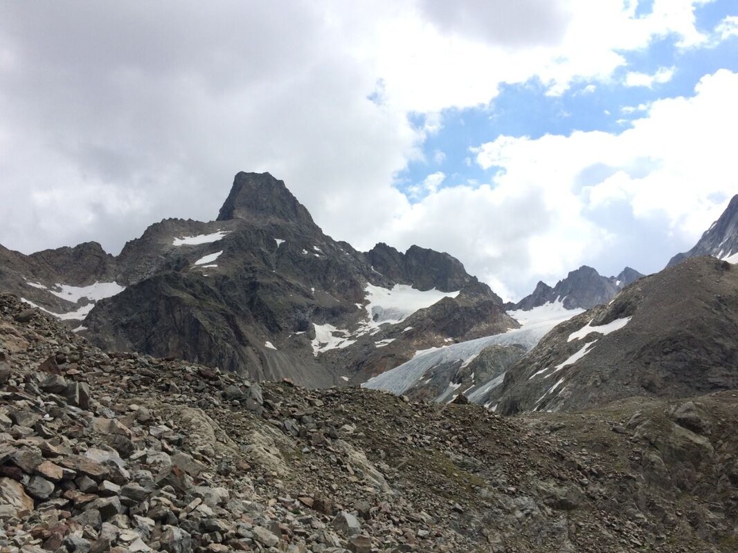
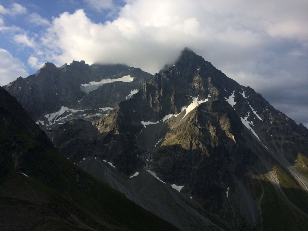
Soon, the imposing summit of the Rofelewand (3,354 m) comes into view. Once you reach the lake, you’ll be greeted by the impressive atmosphere of this rugged mountain cirque. In fine weather, it’s a place to linger, meditate and simply enjoy the moment!
The descent follows the same path back to the Verpeilhütte. After a hearty snack, you can also take the gravel path to the left of the Verpeilbach for the rest of the descent from the hut to the alpine pasture.


