


Trailrunning
Frudiger Trail | Terra Raetica Trails
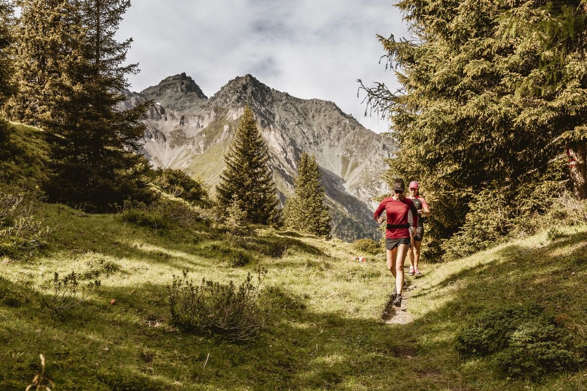


This varied route takes you through the stunning landscape of the Pfundser Tschey. From the starting point, the route first follows the Klammsteig path through the Radurschlklamm gorge, before heading steadily uphill via Greit towards the Tscheylücke pass. There, a slightly steeper but easily navigable trail branches off, leading to the summit of the Frudiger. Once at the top, a magnificent view over the Upper Inn Valley opens up.
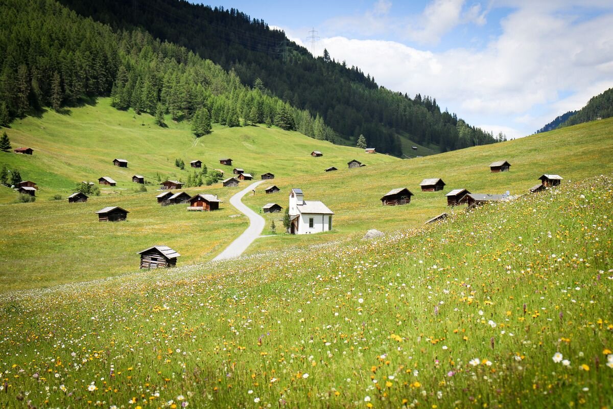
The route continues over the Tösener Frudiger and finally leads into a smooth downhill section. Through sparse mountain woodland and across the expansive plateau of the Pfundser Tschey, the path leads past numerous historic mountain huts back to the starting point.
tour1
1382m
24.3km
Highest point
2111m
Start point
Roundabout | Pfunds village
End point
Roundabout | Pfunds village


