Hiking tour

Platzer Alm

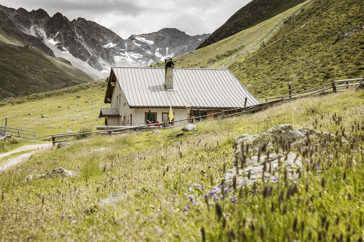
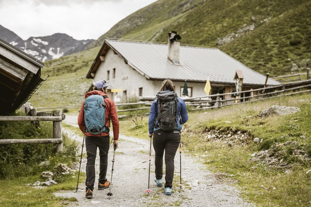
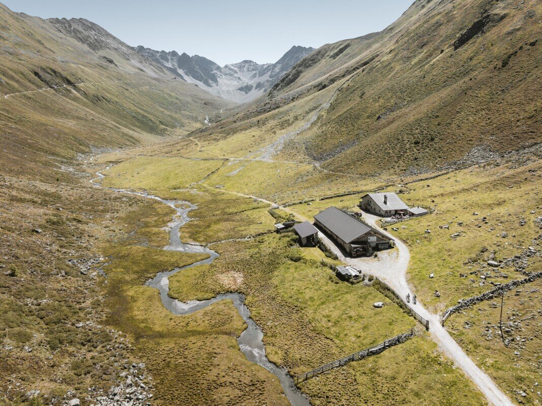
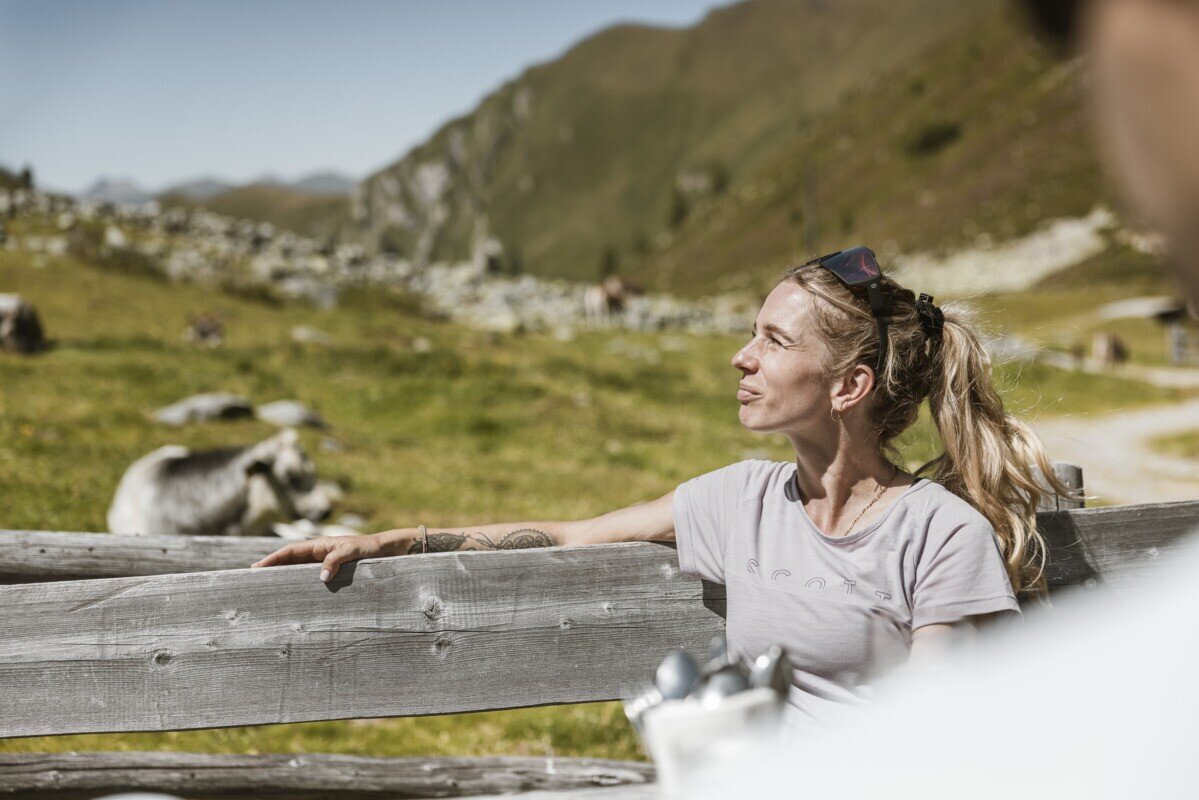
Drive from Pfunds to Greit up to the Tscheylücke. From there the path leads through the beautiful high valley past the Maria Schnee chapel to a fork in the road. Here the path branches off to the right towards Platzertal. Follow the signposting always towards Platzer Alm. Pass the dilapidated buildings of the ore and silver processing and continue to the alpine pasture. The Platzeralm is the highest altitude where milk, butter and cheese are processed.

Tip: Every Thursday a hiking bus drives to the Tschey
tour1
2.5:0h
586m
6.7km
Highest point
2182m
Start point
Tscheylücke Pfunds
End point
Platzer Alm

Similar Tours

Difficult
1570m | 10h | 13.7km
Hiking tour
Feichtner Karlspitze (2.918m) von Fendels
Begin: Parkplatz Seilbahn Fendels
End: Sattelklause
Medium
315m | 2.5h | 5km
Hiking tour
Zur Jägerhütte (2.117 m) - Hapmes
Begin: linke Uferstraße (Bushaltestelle)
End: Jägerhütte
Medium
648m | 5h | 10km
Hiking tour
Wassertalweg nach Fendels
Begin: Ried
Medium
400m | 3h | 3.5km
Hiking tour
Wiesenhof - Falkaunsalm (1.936 m)
Begin: Abzweigung Wiesenhof
End: Falkaunsalm
Medium
280m | 3h | 5km
Hiking tour
Krummgampental - Verborgener See (2.674 m)
Begin: Krummgampental
End: Verborgener See
Easy
506m | 11.5km
Hiking tour
Wanderung Lärchenalm über Heiliger Baum
Begin: Pfarrkirche Nauders
End: Nauders
Easy
310m | 2.75h | 5.4km
Hiking tour
Oberer Lärchenwiesenweg
Begin: Parkplatz Bergbahn Fendels
End: Parkplatz Bergbahn Fendels
Easy
226m | 2.5h | 6.4km
Hiking tour
Über den kleinen Mutzkopf retour nach Nauders
Begin: Bergstation Mutzkopf
End: Talstation Mutzkopf