























Hiking tour
Piengkopf
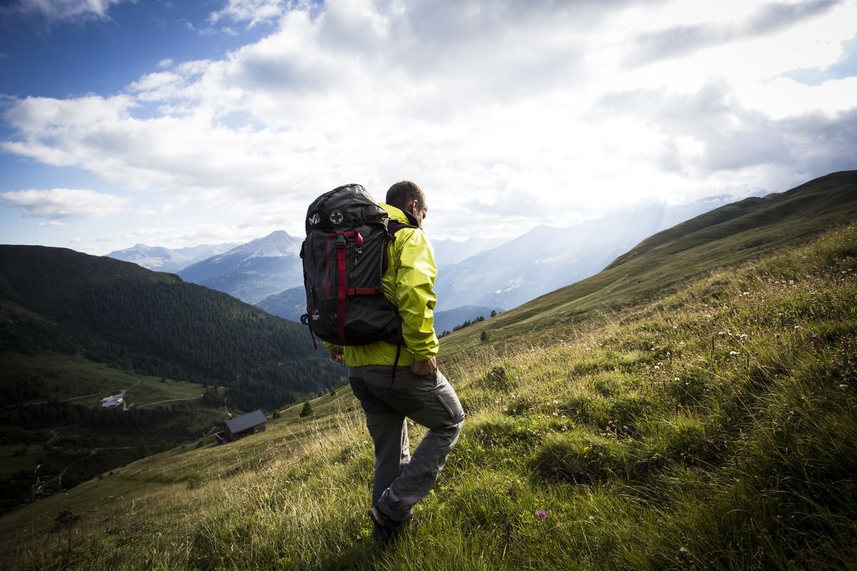

After the ascent with the Bergkastel cable car, follow the Mountain trail no. 30 to a large pasture in the open alpine area. Continue on Hiking trail no. 29a, towards the mountain station of the Gaisloch cable car, to a signpost. In front of the mountain station, Trail no. 29 leads to the Piengkopf (2,789 m). There are little stone figures along the ascent route for orientation. The way back is the same way until the signpost and in a northeasterly direction to Nauders Goassloch (No. 29). Over alpine pastures you descend over the alpine meadows to Piengalm which is serviced. From here, Trail no. 19 leads back over the ski slope to the Bergkastel mountain station. Alternatively, you can follow Trail no. 19a from Piengalm to the Jochelius mountain resort (refreshments available). The way continues via Route no. 19 to the Holy Tree and along the road back to Nauders.
tour1
6:0h
611m
5.6km
Highest point
2764m
Start point
Bergstation Bergkastel
End point
Bergstation Bergkastel


