























Hiking tour
Plamortweg
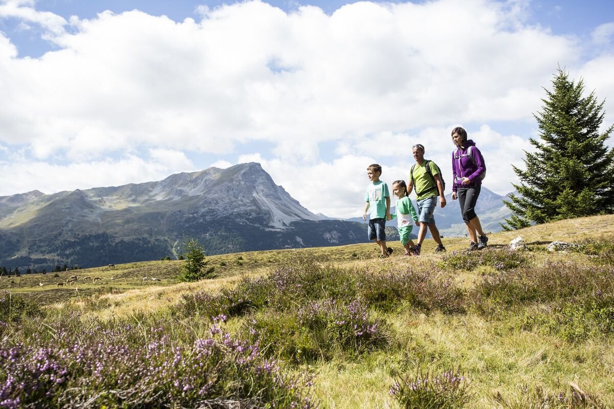
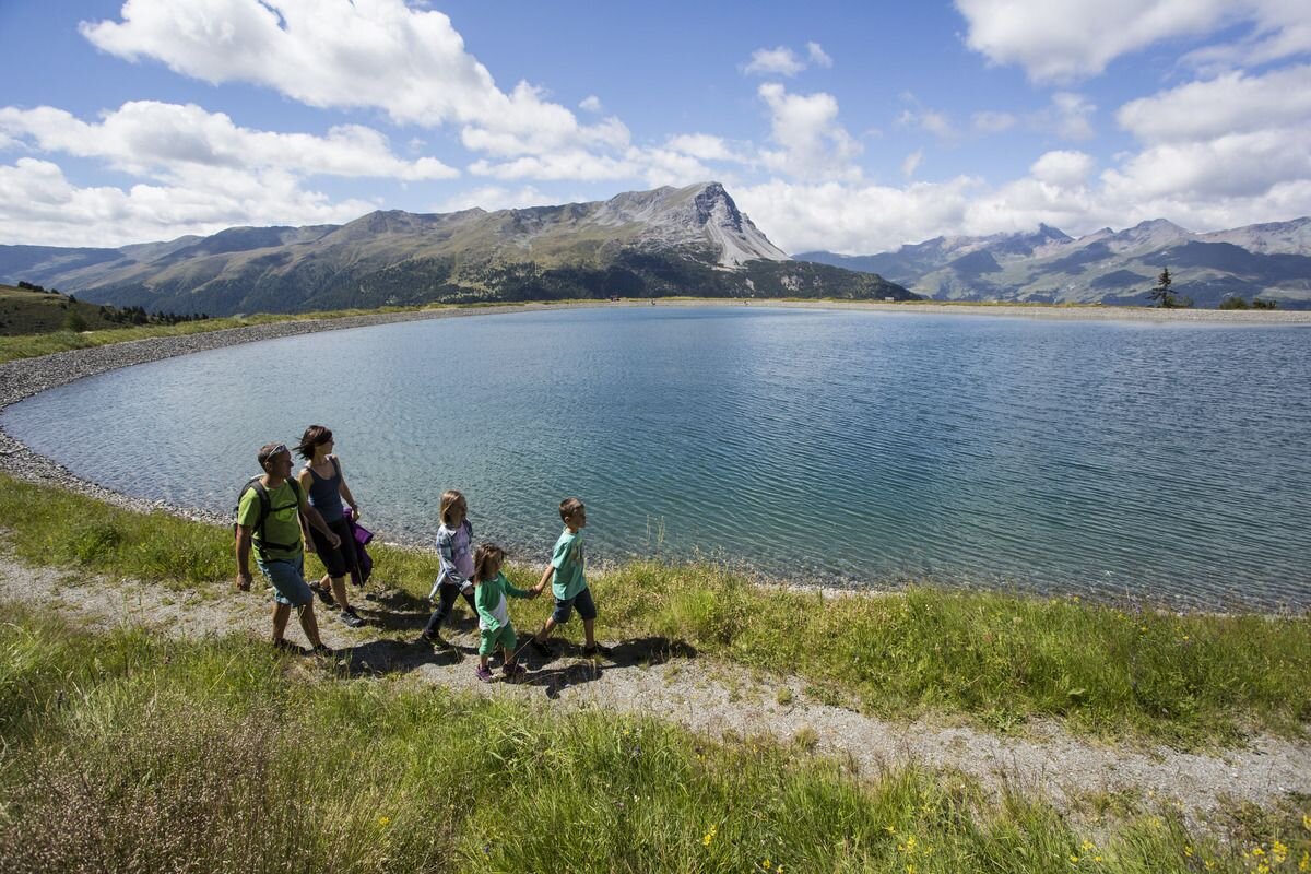


Starting from the Bergkastel mountain station, the route leads along the Alpine hiking trail no.34 through an old stone pine forest, to the flat upper alpine pasture and further on Trail no.36 to the reservoir.
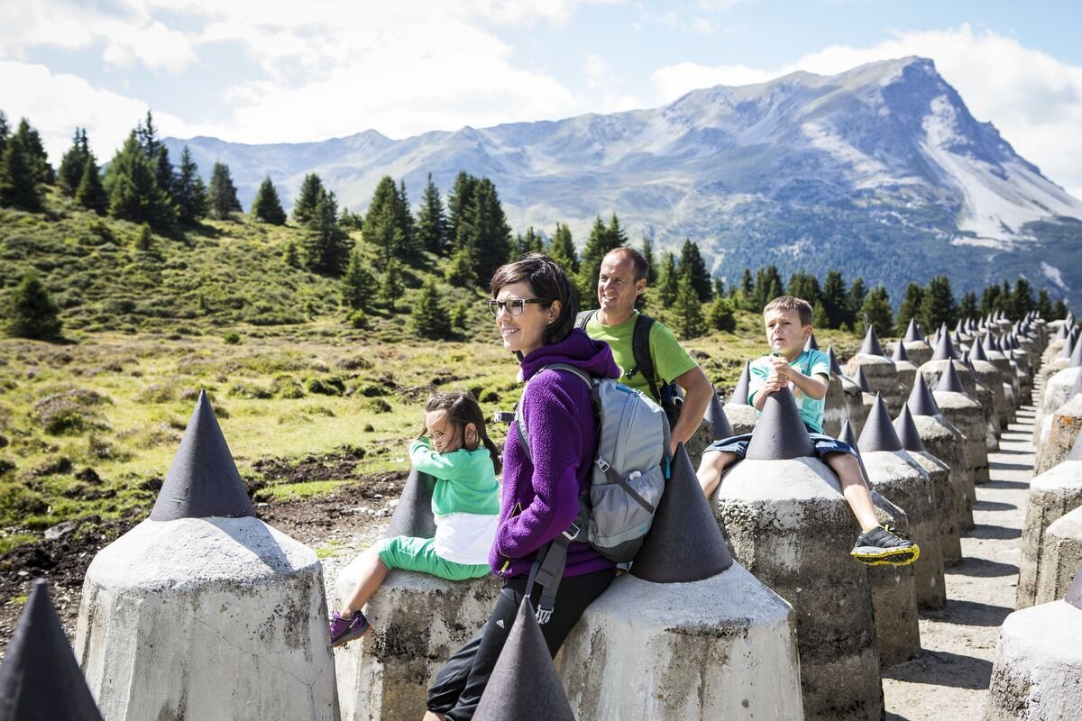
Passing tank traps and the historic bunker systems built under Benito Mussoloni in the years 1938 to 1942, you come to a magnificent viewpoint (approx. 2000 m). This promises a magnificent view of the clear Reschensee and the Vinschgau, with its mighty peaks such as the Ortler, Cevedale and Königsspitze. The way back to Stieralm is via the high moorland area Plamorterboden. From here, Hiking trail no. 33 leads back to the Bergkastel mountain station. Alternatively, you can descend via the Lärchenalm (path no. 34) to Nauders. (Variant: Descent to Reschen from Plamort.)
Passing tank traps and the historic bunker systems built under Benito Mussoloni in the years 1938 to 1942, you come to a magnificent viewpoint (approx. 2000 m). This promises a magnificent view of the clear Reschensee and the Vinschgau, with its mighty peaks such as the Ortler, Cevedale and Königsspitze. The way back to Stieralm is via the high moorland area Plamorterboden. From here, Hiking trail no. 33 leads back to the Bergkastel mountain station. Alternatively, you can descend via the Lärchenalm (path no. 34) to Nauders. (Variant: Descent to Reschen from Plamort.)
3:0h
356m
6.7km
Highest point
2167m
Start point
Bergkastel Bergstation
End point
Bergkastel Bergstaion


