Hiking tour

Schmalzkopf

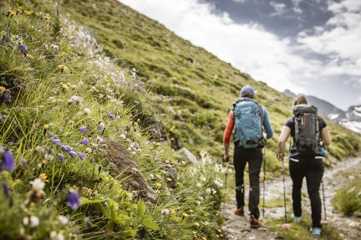
The hike starts in the Radurschl Valley. From here, the trail turns right into the forest and follows trail marker No. 26. Shortly afterwards, the path branches off to the right and passes the drinking water spring of Pfunds. Continue following the marked trail to the Lukaskreuz and then further along route No. 26 up to the Schmalzkopf. The return follows the same route back to the starting point.
tour1
8.6:4.2h
1319m
13.25km
Highest point
2717m
Start point
Parkplatz Wildmoos | Pfunds
End point
Parkplatz Wildmoos | Pfunds

Similar Tours

Medium
1100m | 5h | 6km
Medium
1240m | 8h | 16.5km
Hiking tour
Schmalzkopf, 2.728 m
End: Nauders
Difficult
1692m | 13.6km
Hiking tour
Über das Wallfahrtsjöchl vom Kaunertal ins Pitztal
Begin: Parkplatz Wallfahrtskirche Kaltenbrunn
End: Eggenstall (St. Leonhard-Pitztal)
Medium
912m | 6.3h | 11.53km
Hiking tour
Lahnkopf
Begin: Parking area Tscheylücke | Pfunds
End: Parking area Tscheylücke | Pfunds
Medium
268m | 1.75h | 3.1km
Hiking tour
Kleine Verpeilrunde
Begin: Verpeilalm
End: Verpeilalm
Difficult
763m | 3.1km
Medium
973m | 6.75h | 9.89km
Hiking tour
Madatschkopf (2.778 m) und Mooskopf (2.532 m)
Begin: Parkplatz Verpeilalm
End: Parkplatz Verpeilalm
Medium
665m | 7h | 15.7km
Hiking tour
Mataunkopf (& Ganderbildspitze)
End: Nauders