Hiking tour

Rauher Kopf

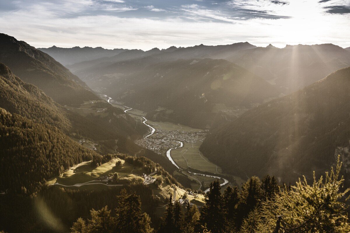
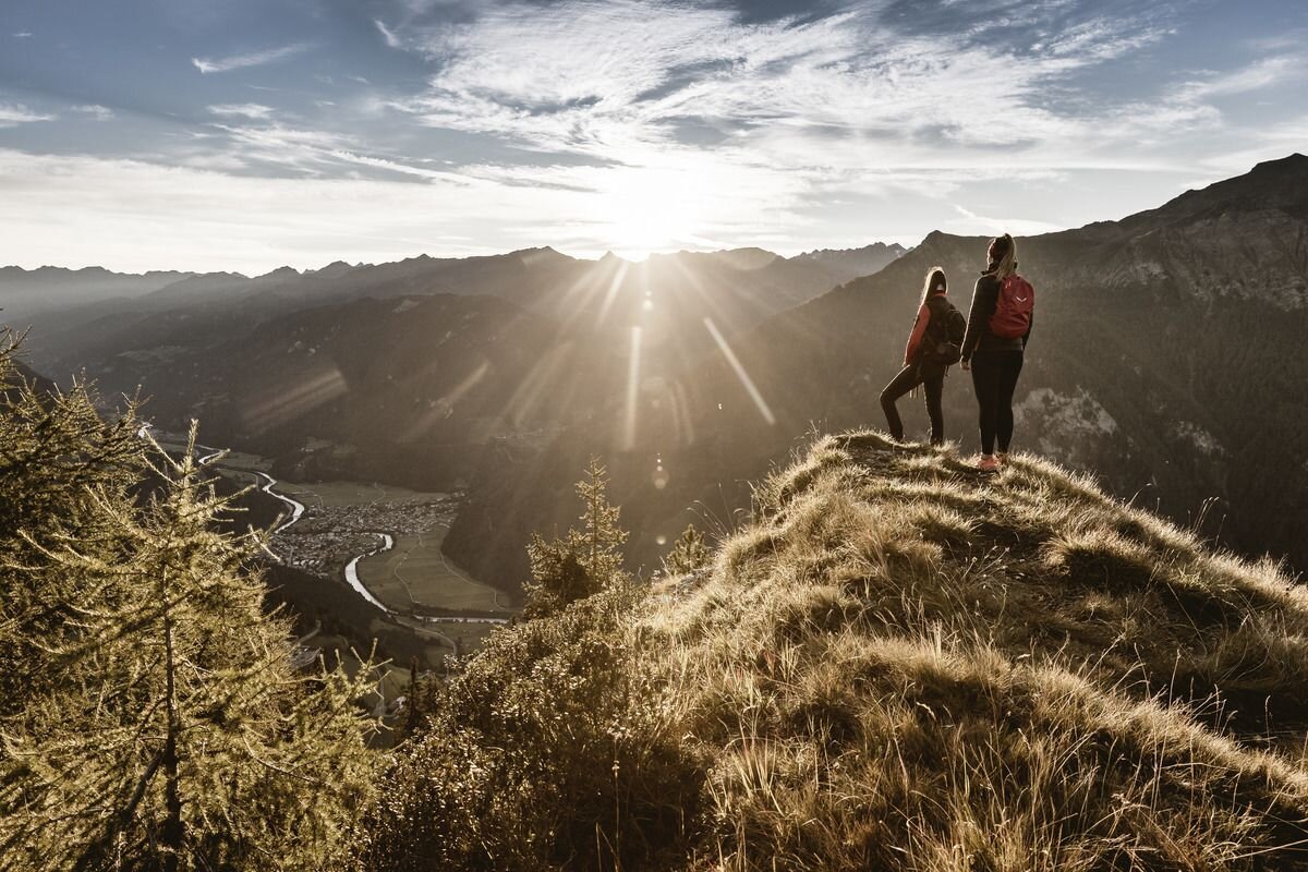
From the parking area near Kobler Alm, the trail first leads through lush alpine meadows up to the hut, where beautiful views of Pfunds and the surrounding mountains already open up. The route then continues past the alm in the direction of Spiss until a path soon branches off to the left into the dense high forest. Following this trail steadily uphill eventually leads to the summit. At the top, hikers are rewarded with an impressive panorama – stretching across the neighbouring Engadin, over Lake Reschen to the mighty Ortler massif, and down to Pfunds.
tour1
3:0h
385m
6.56km
Highest point
2024m
Start point
Kobler Alm | Pfunds
End point
Kobler Alm | Pfunds

Similar Tours

Medium
202m | 1.5h | 3620km
Hiking tour
Sternenweg im Gepatsch
Begin: Stauwurzel Gepatschstausee
End: Gepatschhaus
Medium
1063m | 7h | 10km
Hiking tour
Wanderung zum Ulrichskopf
Begin: Labaunalm
End: Nauders
Medium
760m | 5h | 8.8km
Hiking tour
Große Verpeilrunde
Begin: Feichten
End: Verpeilhütte
Medium
769m | 8h | 18.3km
Hiking tour
Kobler Alm - Bergwiesen - Hahntennenberg - Ochsenberg
Begin: Parkplatz Kobler Alm
End: Infobüro Pfunds
Medium
268m | 1.75h | 3.1km
Hiking tour
Kleine Verpeilrunde
Begin: Verpeilalm
End: Verpeilalm
Easy
310m | 2.75h | 5.4km
Hiking tour
Oberer Lärchenwiesenweg
Begin: Parkplatz Bergbahn Fendels
End: Parkplatz Bergbahn Fendels
Medium
980m | 7h | 13.2km
Hiking tour
Thomas Penz Höhenweg
Begin: Feichten
End: Feichten
Easy
518m | 4h | 8.4km
Hiking tour
Wanderung zum Schwarzen See
Begin: Nauders
End: Nauders