


Hiking tour
To the Goldsee lakes
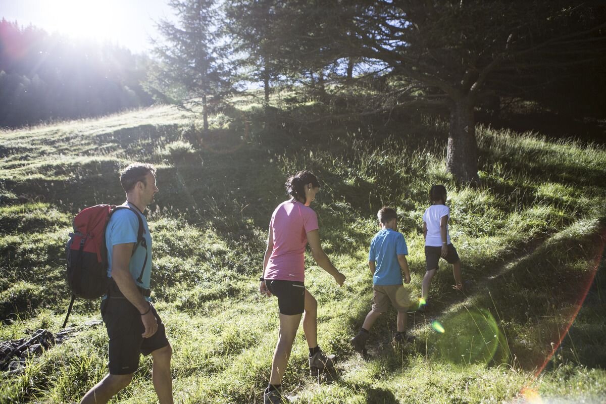

The hike to the Goldsee lakes is one of the most beautiful in the Bergkastel hiking area. After the ascent with the Bergkastel cable car, you first pass some old pine trees, continue over stone heaps and wooden bridges on Hiking trail no. 20a to the Ganderbild. After the wayside shrine, the trail leads between alpine rose trees and across grassy areas to the “Grosser Stein”. The massive boulder lies in the middle of the valley depression. From there, an ascent leads past marmot structures to the last peak (2,250 m) before the Goldsee lakes. Along the bank of the lower lake, follow the route to the upper Goldsee. The two crystal clear Karsee lakes lie in a mountain basin poor in vegetation and rich in scree. After a short tour, the route takes you back to the mountain station of the Bergkastel cable car.
tour1
3.5:0h
396m
6.7km
Highest point
2574m
Start point
Bergkastel Bergstation
End point
Bergkastel Bergstation


