








Mountainbike tour
7035 | Zwei Seenrunde


Opening status | Open
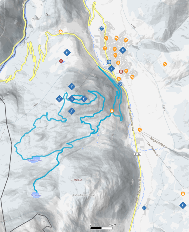
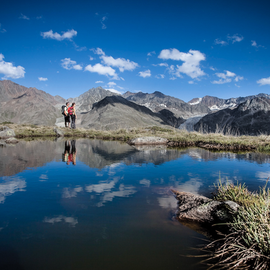
The tour starts at the Mutzkopfbahn valley station and initially follows a paved road to the Tiefhof intersection. From there, the route continues uphill along a well-marked forest road through sparse high-altitude forest to Grünsee, which lies at 1,840 m amidst a rustic larch and spruce forest and invites visitors to relax on its sun loungers. The turnoff to the lake is located at the end of a steep ascent on the left-hand side. The route then follows the 3-Länder Trail toward Schwarzsee, with the lower section requiring advanced riding skills and endurance due to rough terrain and steep root-covered sections. Once you arrive at Schwarzsee, situated at 1,720 m, you can take a break on the shore or go for a walk around the lake.The return trip to Nauders initially follows the familiar path back to the Tiefhof intersection. For the final section, you can choose between the paved road or a gravel path leading to Reschenstraße. The tour ends at Gasthof Martha, which can be reached via a connecting path directly from the Via Claudia bike path.T
tour1
520m
10.05km
Start point
Talstation Mutzkopfbahn
End point
Nauders


