


Mountainbike tour | ...
7109 | Ried - Fendels


Opening status | Open
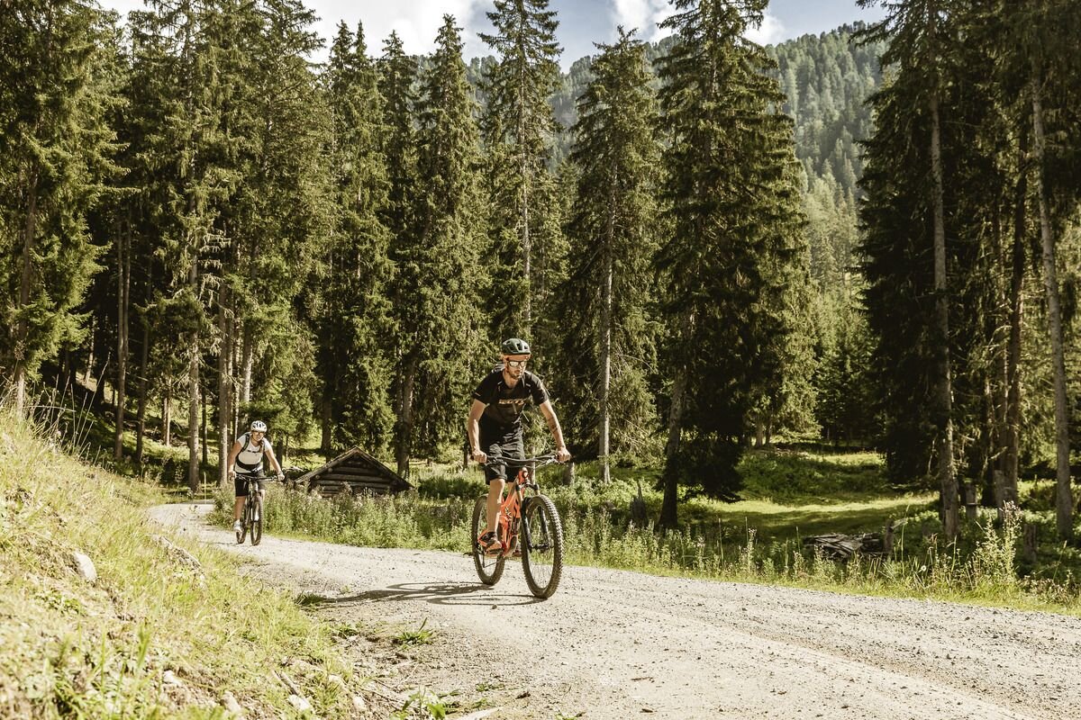
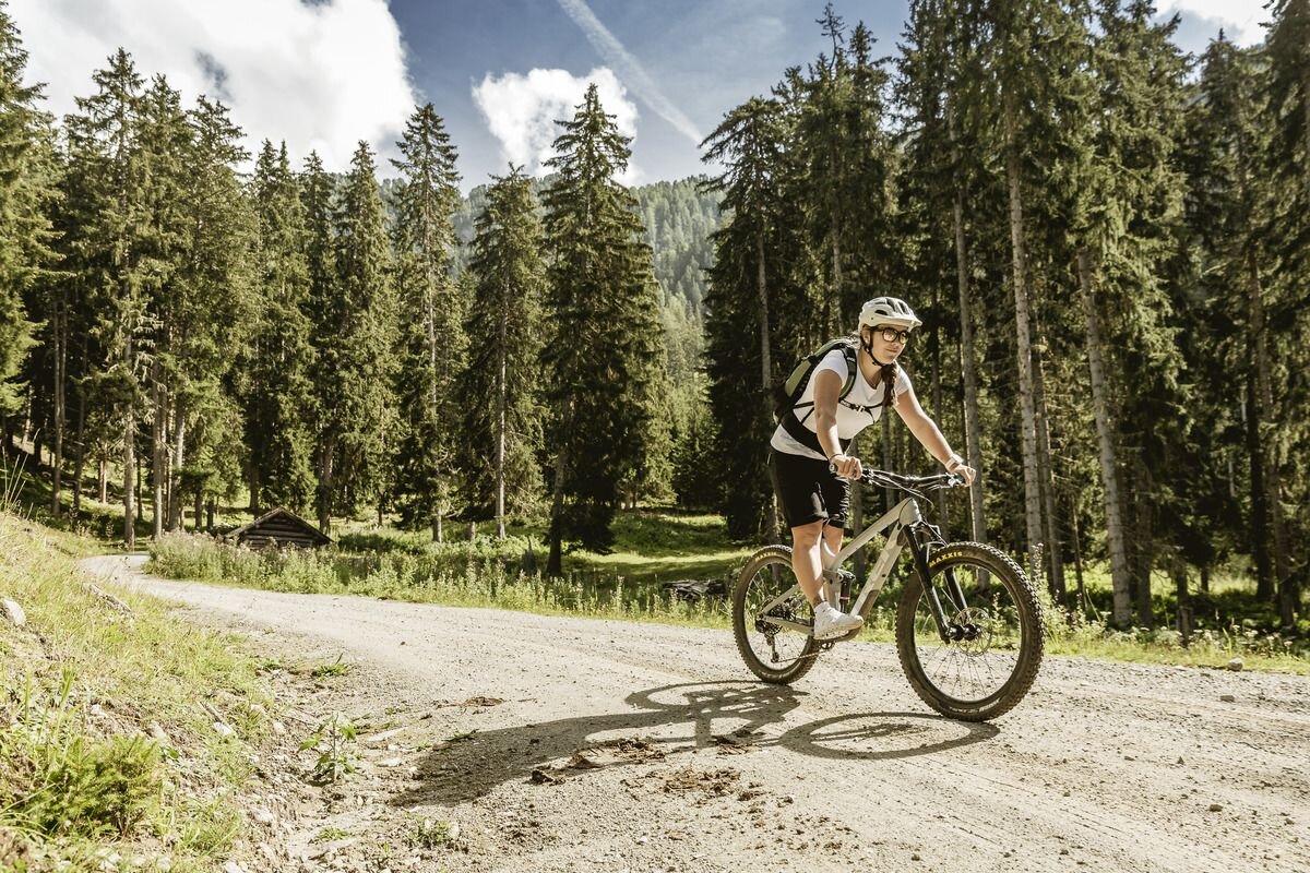
This connection from Ried to Fendels starts at the tourist office in ried and leads along the cycle path towards Tösens and turns left towards Langwiese. From here, there is less traffic and you can enjoy the landscape past farms and meadows to the full. There is little rolling resistance on the tarmac, which is why the 750 metres of elevation gain just tumble away and you leave one hairpin bend after another behind you. At Gfrans, there is a barrier signalling the transition to the forest road. The route continues on forest and gravel paths through the forest, over the Fendler Mure (stream), which is occasionally filled with water, and over the old toboggan run to Fendels. Once in the village, there is another bend to the left that leads to the Fendler Bergbahnen car park and you have arrived at the end of the tour. For the return journey to Ried, you can take the alternative route via Fendler Straße.
tour1
740m
11.4km
Highest point
1571m
Start point
Touristoffice | Ried
End point
Mountain Railways car park | Fendels


