


754 | Rund um den Frudiger
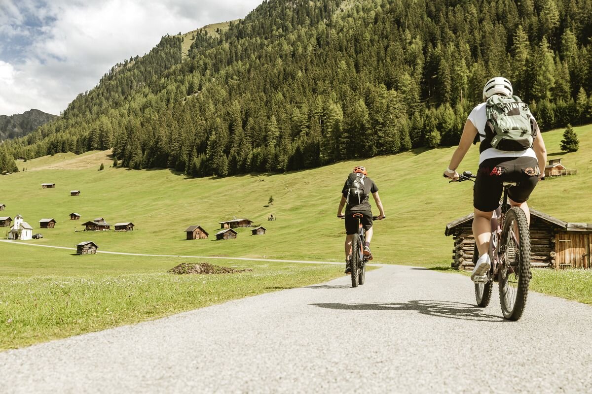
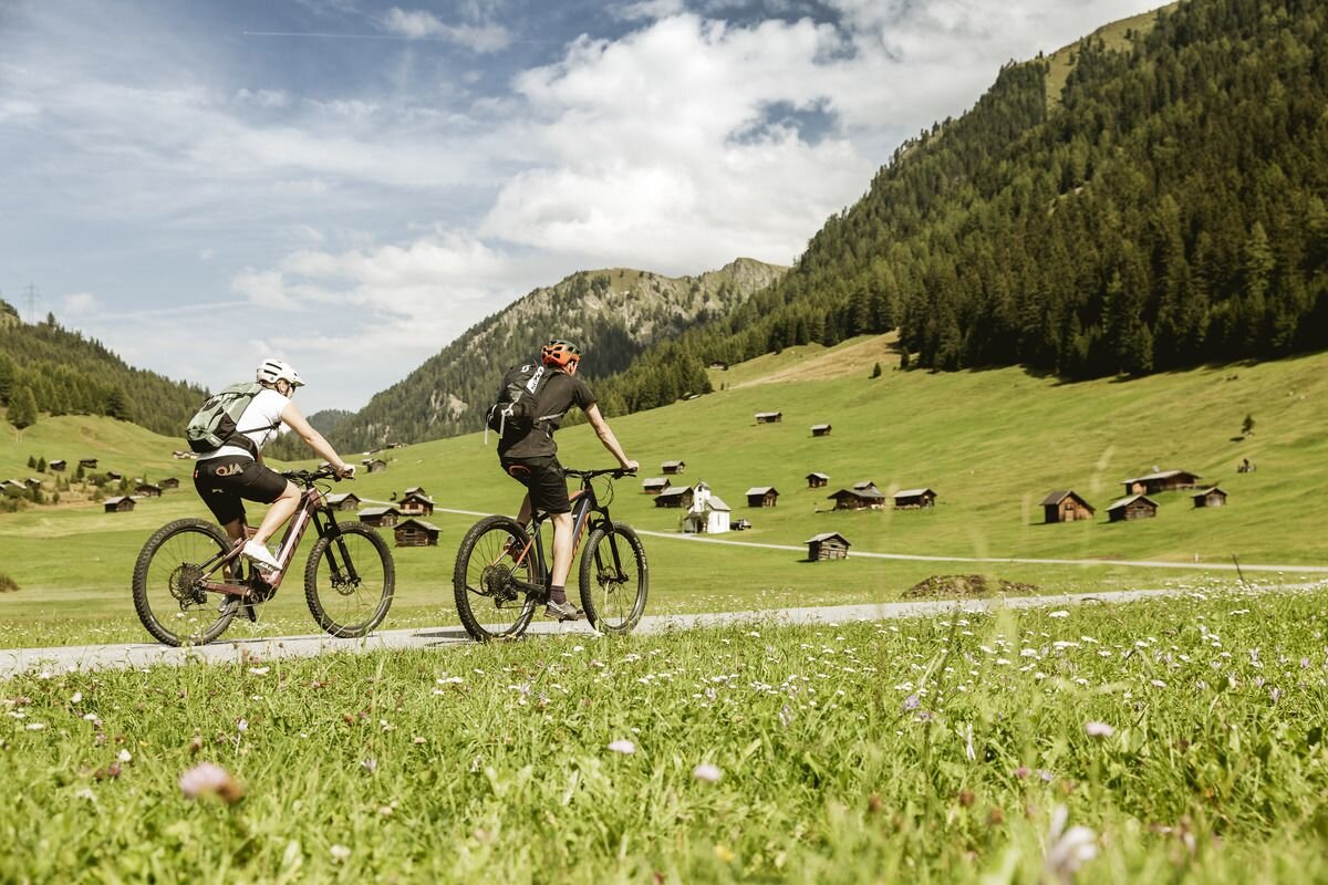


From the starting point at the Pfunds information office, the route first follows the cycle path (follow the signs) and continues uphill to Margreid. As the Frudiger is circumnavigated in a clockwise direction, a little later you turn off onto a forest path in a north-easterly direction and follow this along the slope and with a view of the Inn Valley in the direction of Tösens. Once you reach the northern foothills of the Frudiger, the tour changes direction and you are faced with the biggest ascent of this tour through the Kesselwald forest. Only a little over 600 metres in altitude separate the upcoming effort from the idyll of the "Pfundser Tschey", so you tackle it full of motivation. Once at the top, the descent awaits, past picturesque mountain meadows, countless barns and larch forests, which turn into an impressive spectacle of colour, especially in autumn. Before and at the end of the Tscheywiesen, you have the option of turning left onto the routes to the Platzer Alm (page 46) or 755 Pfunds-Gschnairalm (page 44), where traditional delicacies are served and invite you to stop for refreshments. Otherwise, the rest of the descent follows the local road past Greit and Margreid back to the starting point in Pfunds.


