


Hiking tour
Anton Renk-Hütte | Rundwanderung


The tour starts at the valley station of the Ried - Fendels cable car. The gondola lift takes you to Fendels and the subsequent chairlift takes you to the starting point "Sattelboden".
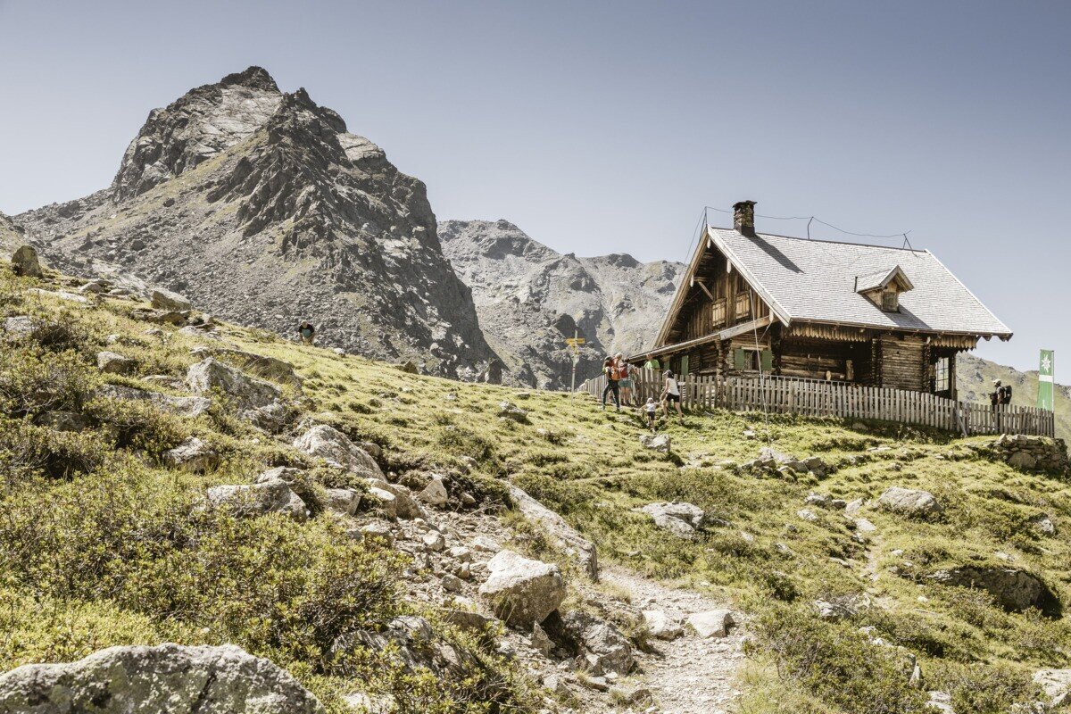
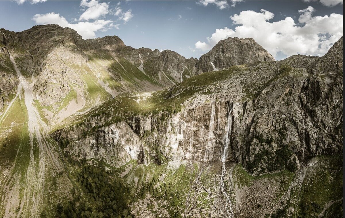
From there, a hiking trail leads to the Fendler Alm and on via the Zirmesköpfle to the well-known Anton Renk Hut. From there, continue downhill towards the Stalanzer Alm, where you then have the option of turning left and taking the new panoramic trail directly below the Anton Renk waterfall. Alternatively, you can opt for the Anton Renk trail. The panoramic trail takes you directly below the waterfall, where you will feel the power of the mighty masses of water up close.
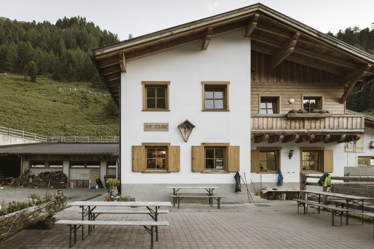
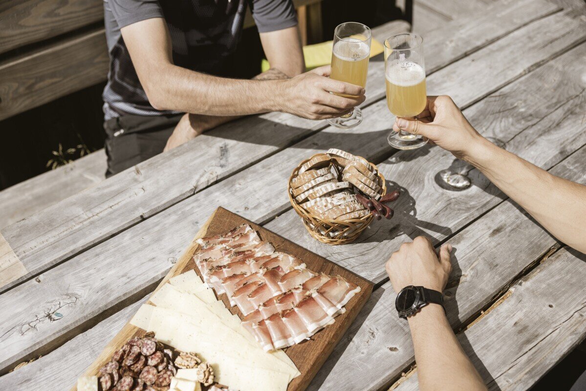
The destination is the managed Stalanzer Alm (mid-June - mid-September), which invites you to stop for a bite to eat afterwards.
From there, a hiking trail leads to the Fendler Alm and on via the Zirmesköpfle to the well-known Anton Renk Hut. From there, continue downhill towards the Stalanzer Alm, where you then have the option of turning left and taking the new panoramic trail directly below the Anton Renk waterfall. Alternatively, you can opt for the Anton Renk trail. The panoramic trail takes you directly below the waterfall, where you will feel the power of the mighty masses of water up close.
The destination is the managed Stalanzer Alm (mid-June - mid-September), which invites you to stop for a bite to eat afterwards.
tour1
4.4:1.7h
458m
10.43km
Highest point
2260m
Start point
Parkplatz Seilbahn Talstation | Ried im Oberinntal
End point
Parkplatz Seilbahn Talstation | Ried im Oberinntal


