Trailrunning

Frudiger-Trail

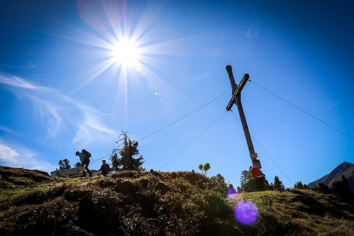
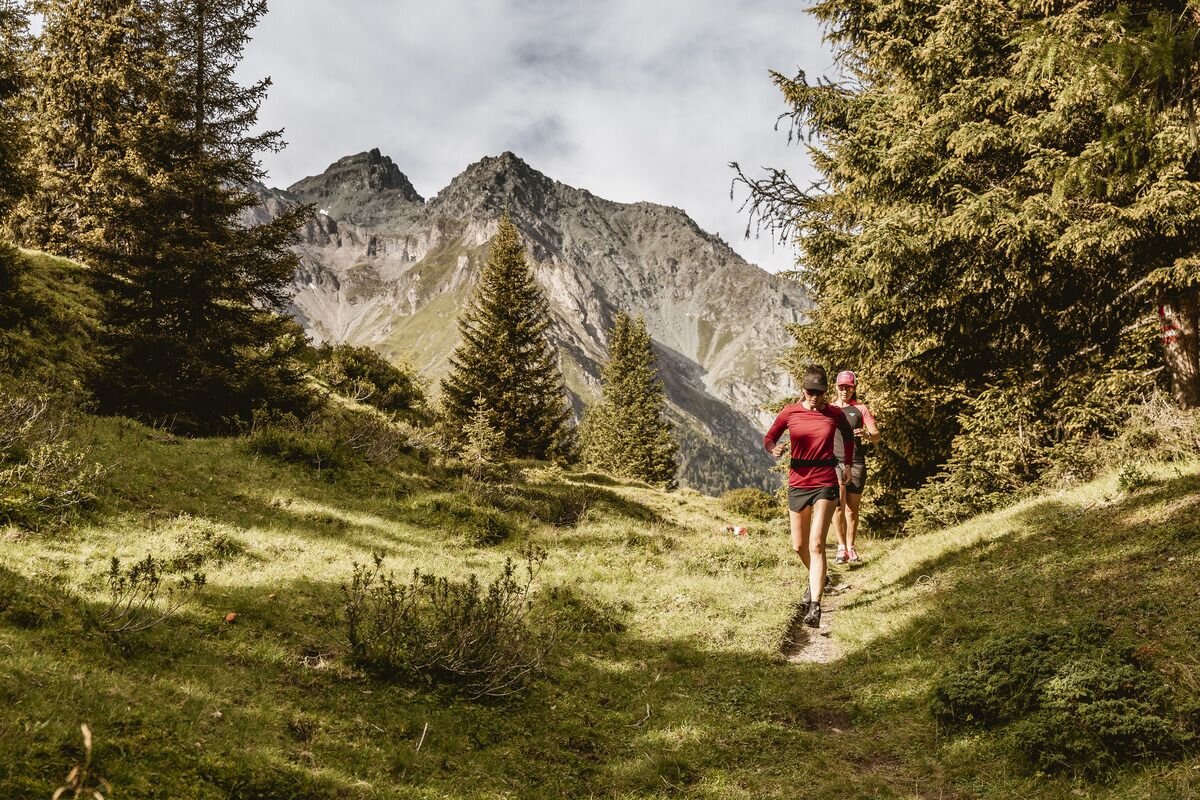
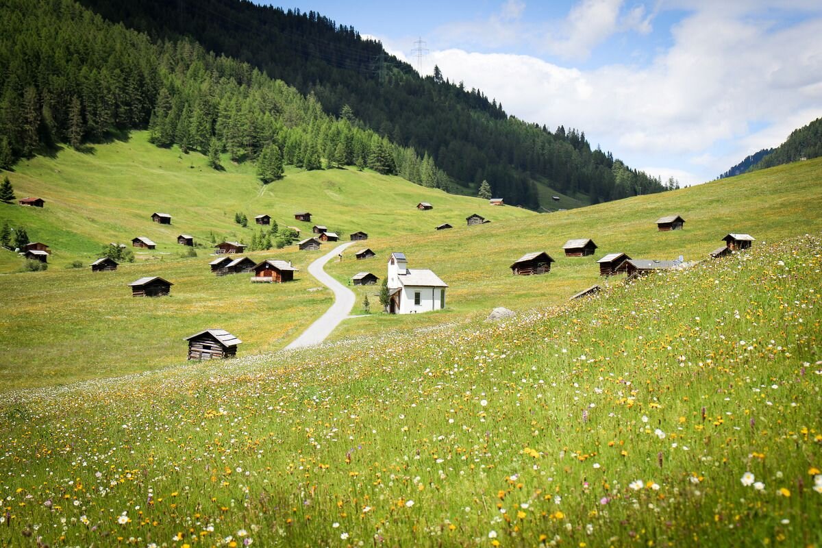
From the start, you first cross the Radurschlklamm gorge and continue via Greit up to the Tscheylücke. You then branch off onto a somewhat steeper but easy trail, which you follow to the summit cross of the Frudiger. You will be rewarded with a fantastic view of the Oberinntal valley. The route continues up to the Tösener Frudiger and over a ‘flowing’ downhill through the sparse mountain forest and over the famous Pfundser Tschey, past many historic mountain huts back to the finish.
tour1
1387m
24.7km
Highest point
2111m
Start point
Tscheylücke Pfunds
End point
Tscheylücke Pfunds

Similar Tours

Difficult
1477m | 21.4km
Trailrunning
Anton-Renk-Trail
Begin: Gemeindeamt Ried
End: Gemeindeamt Ried
Medium
1038m | 18.1km
Running
Nauderer Höhenweg small
Begin: Nauders Parditsch
End: Nauders Parditsch
Medium
776m | 16km
Trailrunning
Radurschl-Trail
Begin: Parkplatz Wildmoos
End: Parkplatz Wildmoos
Medium
694m | 12.9km
Trailrunning
Spiss - Zanders - Trail
Begin: Spiss
End: Spiss
Medium
563m | 8.7km
Trailrunning
Kobler Alm-Trail
Begin: Parkplatz Kobler Alm
End: Parkplatz Kobler Alm
Medium
2424m | 30.9km
Running
3-Länder Höhenweg
Begin: Talstation Mutzkopflift
End: Talstaion Haideralm
Medium
1344m | 22.7km
Trailrunning
Nauderer Höhenweg
Begin: Parditsch Nauders
End: Reschen
Medium
892m | 16.4km
Running
Gepatsch-Runde
Begin: Parkplatz Fernergries
End: Parkplatz Fernergries