


Hiking tour
Goaßpleisenkopf über Gamor
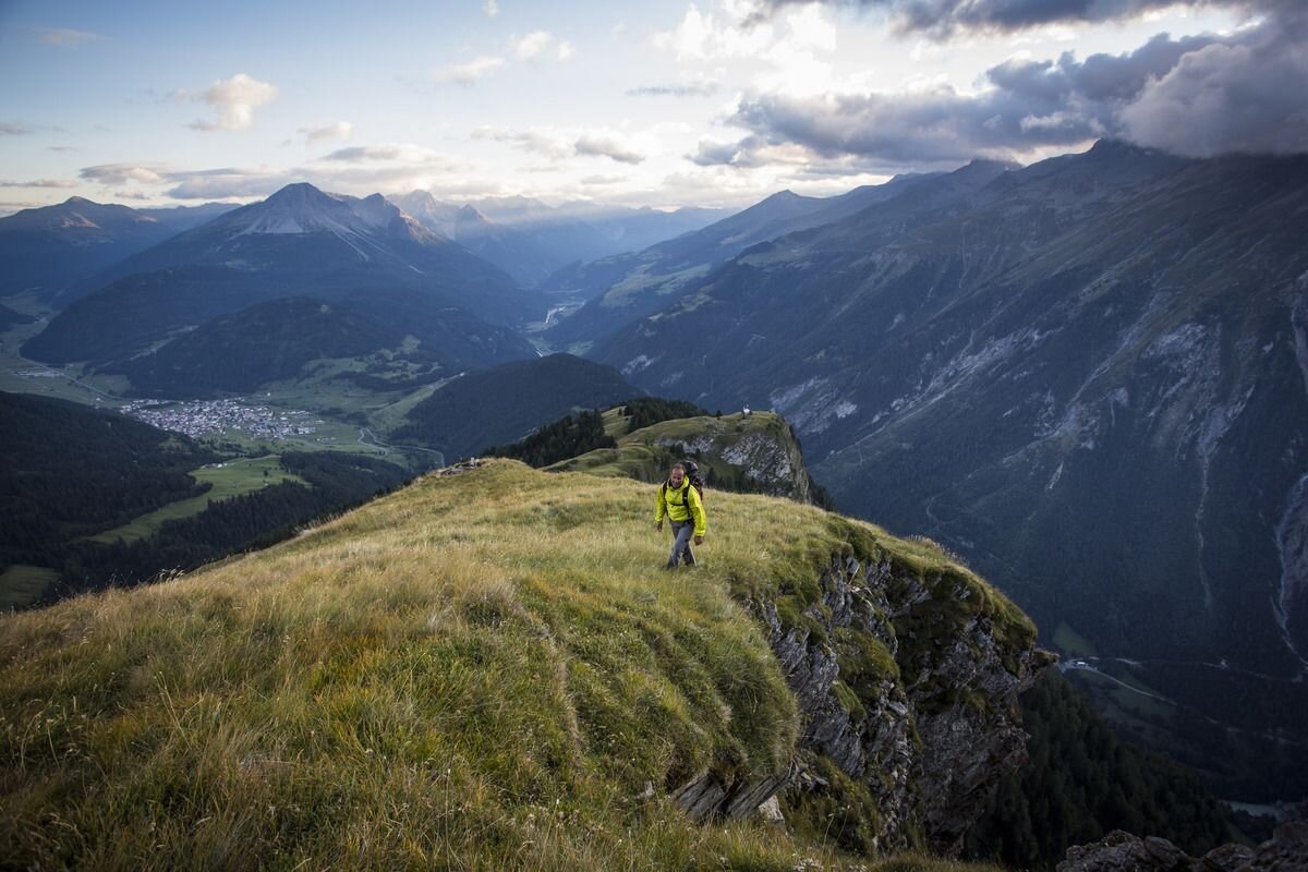

Route no. 17 branches off on the Parditschweg, above the village, and leads over the avalanche protection dam into Valrie. A narrow path along the stream leads into Gamortal, a quiet high valley. Alternatively, you can follow Trail no. 17a via Munt. We continue past the non-serviced Gamoralm, and then a little further along the Mountain trail no. 30 towards Labaun. At a height of approx. 2,200 metres, the black Trail no. 44 branches off to the east. Along the ridge and a rocky ridge, the varied trail leads to the beautiful summit cross (attention: only for experienced, vertigo-free hikers). The feeling of having reached the summit is all the more beautiful. The way back to Nauders follows the same route. Alternatively, you can descend via Labaunalm.
tour2
8.5:0h
839m
7.7km
Start point
Pfarrkirche Nauders
End point
Nauders


