


Hiking tour
Hahntennen - Kreuzjoch
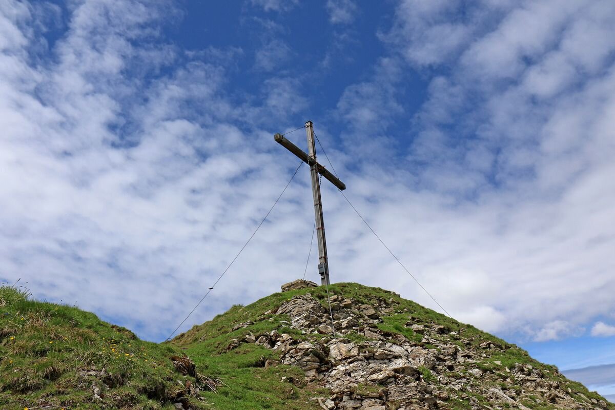
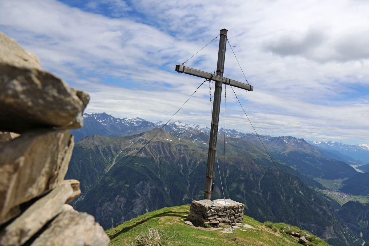
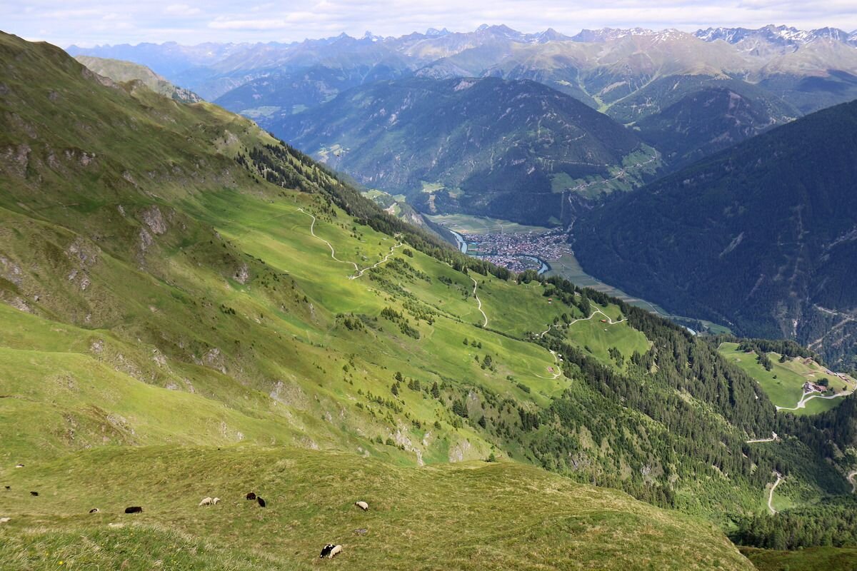


Drive up the Kobl to the Kobler Alm car park. From the car park it is a short way back along the road, from there path no. 1 branches off to the left into the forest. This path leads a short stretch through the forest to the mountain meadows at 2,074 m. Here you can admire the wonderful mountain flora such as arnica, kitchen bells, etc. in all its diversity. Also rewarding is a magnificent panoramic view of the neighbouring Engadine and the Ötztal Alps. Then a narrow and slightly ascending path (be careful if it is wet) leads up to Hahntennenberg at 2,255 m. After a short rest and the wonderful panoramic view, the trail continues slightly uphill on a ridge walk to the Kreuzjoch at 2,698 m. Wonderful panoramic view of the Samnauner group and the Ötztal Alps. Descent over the Kobler Alm No. 21 and further on to the Kobler Alm car park. There would also be the possibility of taking the steep path directly from the Kobler Alm to the Kreuzjoch.
Tip: every Friday a hiking bus goes up to the Kobl
Tip: every Friday a hiking bus goes up to the Kobl
tour1
7:0h
1091m
12.9km
Highest point
2689m
Start point
Parkplatz Kobler Alm
End point
Parkplatz Kobler Alm


