Walkway

Ried-Ebenrein-Wiener Hütte

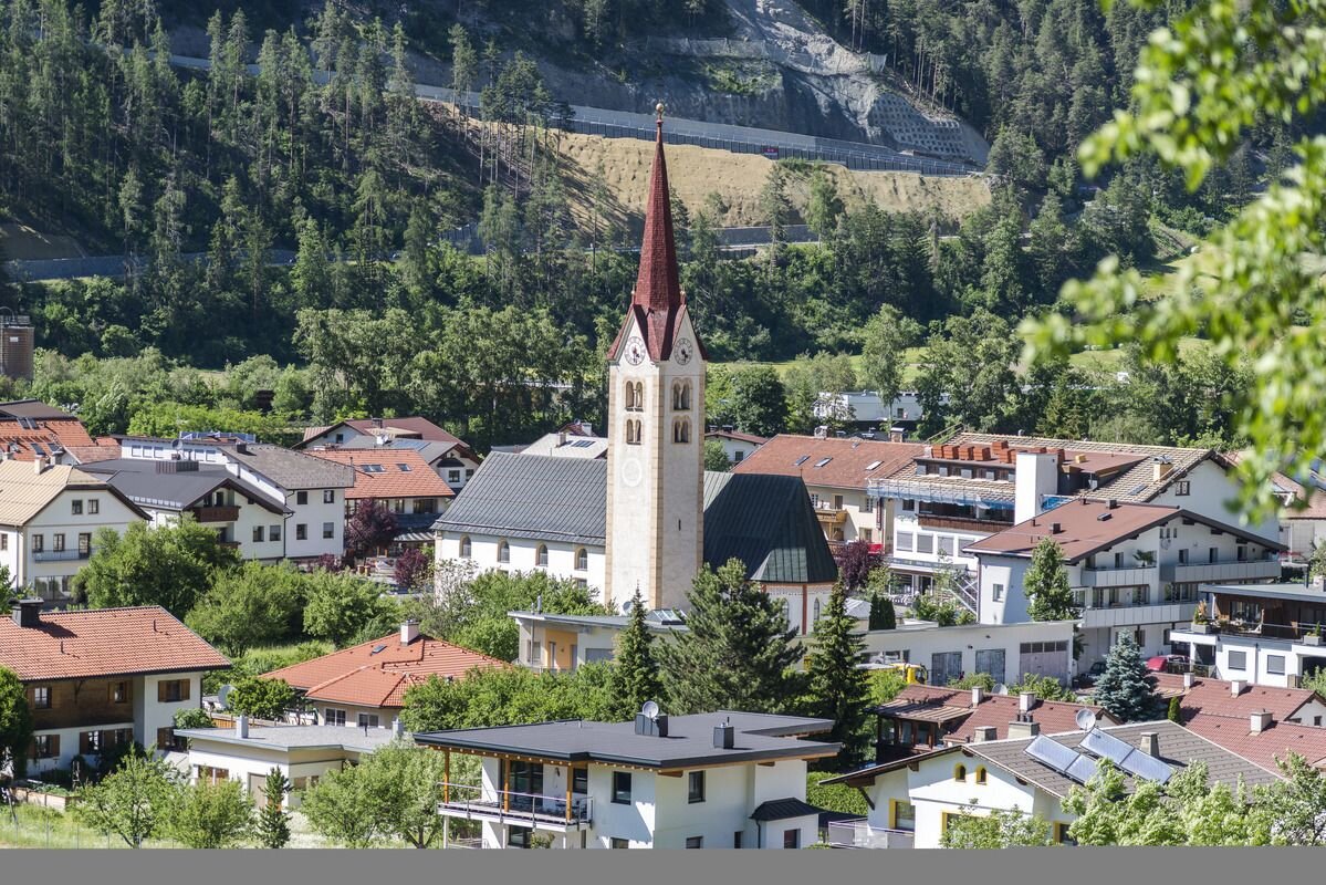
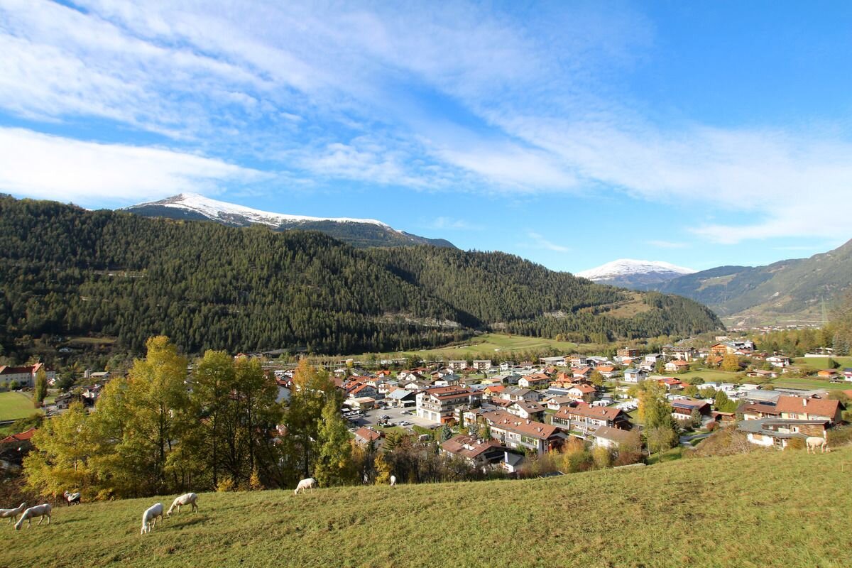
The path leads from the Ried information office along the street to the church "Kapuzinerkirche", where the path branches off to the left and leads via the hamlet of Mühlegg to the Wiener Hütte. Enjoy the view at the Wiener Hütte. From there the path leads down to the Fendlerbach bridge. At the bridge you can cross the road and go down the stairs to get to the starting point. At the foot of the stairs turn left and follow the road, turn right at the village fountain and you are back at the starting point at the information office.
1h
84m
1.6km
Highest point
940m
Start point
Ried
End point
Ried

Similar Tours

Walkway
Zum Heiligen Baum Boden
For further information
246m | 1.5h | 6.2km
Begin: Nauders
End: Nauders
Walkway
Oberer Lärchenwiesenweg (Fendels)
For further information
229m | 5km
Begin: Fendels
End: Fendels
Walkway
Kauner Wiesen
For further information
38m | 2km
Begin: Kauns
End: Kauns
Walkway
Lahn - Wasserweg (Kaunerberg)
For further information
253m | 5.7km
Begin: Kaunerberg
End: KAunerberg
Walkway
Variante Platz
For further information
54m | 0.75h | 3.1km
Begin: Abzweigung Vergötschen
End: Abzweigung Kupp
Walkway
Zur Schöpfwarte/Innblick
For further information
183m | 1.5h | 4.4km
Begin: Feuerwehrhalle Nauders/Lochmühle
End: Schlosswiese
Walkway
Zur Labaunalm
For further information
739m | 3.5h | 9.7km
Begin: Pfarrkirche St. Valentin
End: Pfarrkirche St. Valentin
Walkway
Festung Altfinstermünz
For further information
119m | 2.17h | 7.5km
Begin: Infobüro Pfunds
End: Festung Altfinstermünz