Walkway

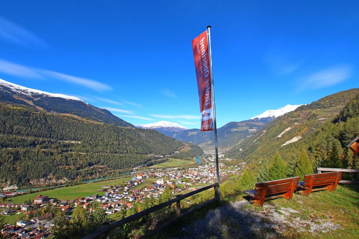
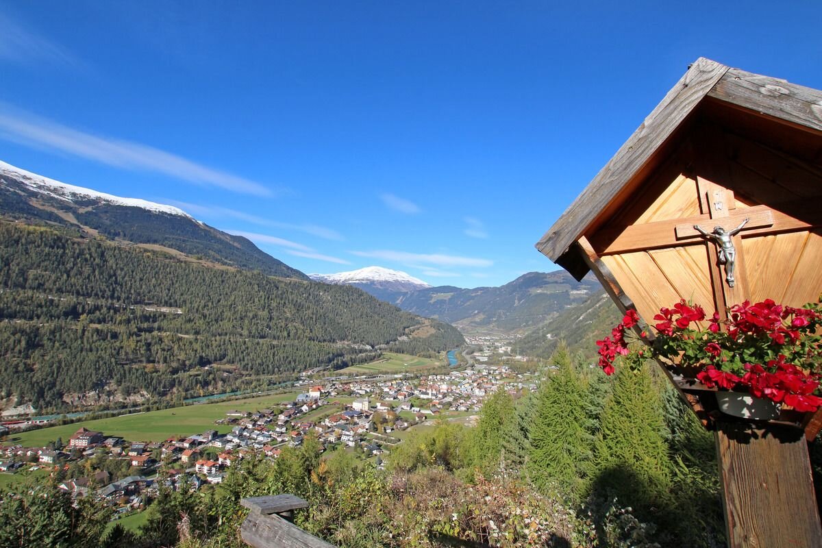
Ried - Grübleweg - Aussichtsplatz "Lutzen Öfele" - Ried

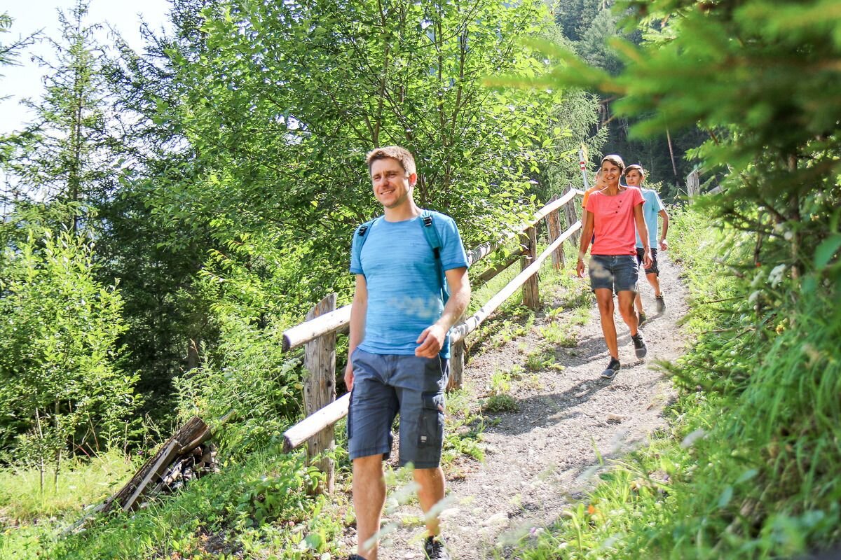
The trail starts at the Ried information office and follows the village road in the direction of Tösens to the southern edge of Ried. There the path branches off to the left into the long meadow and leads over a relaxing footpath, past meadows and along the edge of the forest. After approx. 100 metres a forest path (sharp left) leads to the Lutzen Öfele lookout point - same way back.
2h
257m
3.8km
Highest point
1084m
Start point
Ried
End point
Lutzen Öfele

Similar Tours

Walkway
Zum Heiligen Baum Boden
For further information
246m | 1.5h | 6.2km
Begin: Nauders
End: Nauders
Walkway
Oberer Lärchenwiesenweg (Fendels)
For further information
229m | 5km
Begin: Fendels
End: Fendels
Walkway
Kauner Wiesen
For further information
38m | 2km
Begin: Kauns
End: Kauns
Walkway
Lahn - Wasserweg (Kaunerberg)
For further information
253m | 5.7km
Begin: Kaunerberg
End: KAunerberg
Walkway
Variante Platz
For further information
54m | 0.75h | 3.1km
Begin: Abzweigung Vergötschen
End: Abzweigung Kupp
Walkway
Zur Schöpfwarte/Innblick
For further information
183m | 1.5h | 4.4km
Begin: Feuerwehrhalle Nauders/Lochmühle
End: Schlosswiese
Walkway
Zur Labaunalm
For further information
739m | 3.5h | 9.7km
Begin: Pfarrkirche St. Valentin
End: Pfarrkirche St. Valentin
Walkway
Festung Altfinstermünz
For further information
119m | 2.17h | 7.5km
Begin: Infobüro Pfunds
End: Festung Altfinstermünz