Hiking tour

Staföller Alm (1.922 m)

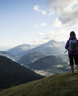
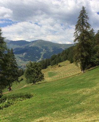
At the southern end of the village of Ried, an asphalted road leads left over lush fields and meadows (long meadow) slightly uphill past a single farm. The Christiner Bach is crossed and on an asphalt road the route leads to the hamlet of Freitzberg. From there you follow a forest road always slightly ascending through shady woods to the Stafföler Alm (not managed). The alp is located at the edge of the forest. For any effort you may have made during the ascent you will be rewarded here with a wonderful view of the Upper Inn Valley and the sunny plateau of Serfaus-Fiss-Ladis.
Tour details
4:30h
1093m
7.9km

Similar Tours

Hiking tour
Ochsenkopf (2.153 m) und Fendler Alm (1.970 m)
For further information
425m | 4h | 7.1km
Begin: Sattelklause, von Fendels aus mit dem Sessellift erreichbar
End: Parkplatz Bergbahn Fendels
Hiking tour
Zur Jägerhütte (2.117 m) - Hapmes
For further information
315m | 2.5h | 5km
Begin: linke Uferstraße (Bushaltestelle)
End: Jägerhütte
Hiking tour
Prutz - Fendels - Burgschrofen (1.614 m) - Prutz
For further information
774m | 4.5h | 11.3km
Hiking tour
Schweikertfernersee (2.680m)
For further information
910m | 6h | 8.2km
Begin: Parkplatz Verpeilalm
End: Parkplatz Verpeilalm
Hiking tour
Krummgampental - Verborgener See (2.674 m)
For further information
280m | 3h | 5km
Begin: Krummgampental
End: Verborgener See
Hiking tour
Wanderung Lärchenalm über Heiliger Baum
For further information
506m | 11.5km
Begin: Pfarrkirche Nauders
End: Nauders
Hiking tour
Harberundwanderung über Harbe Weiher
For further information
160m | 2.5h | 6.5km
Begin: Naturparkhaus Kaunergrat
End: Naturparkhaus Kaunergrat
Hiking tour
Edelweißwanderung - Fluchtwand 2.328 m
For further information
900m | 7h | 17km