


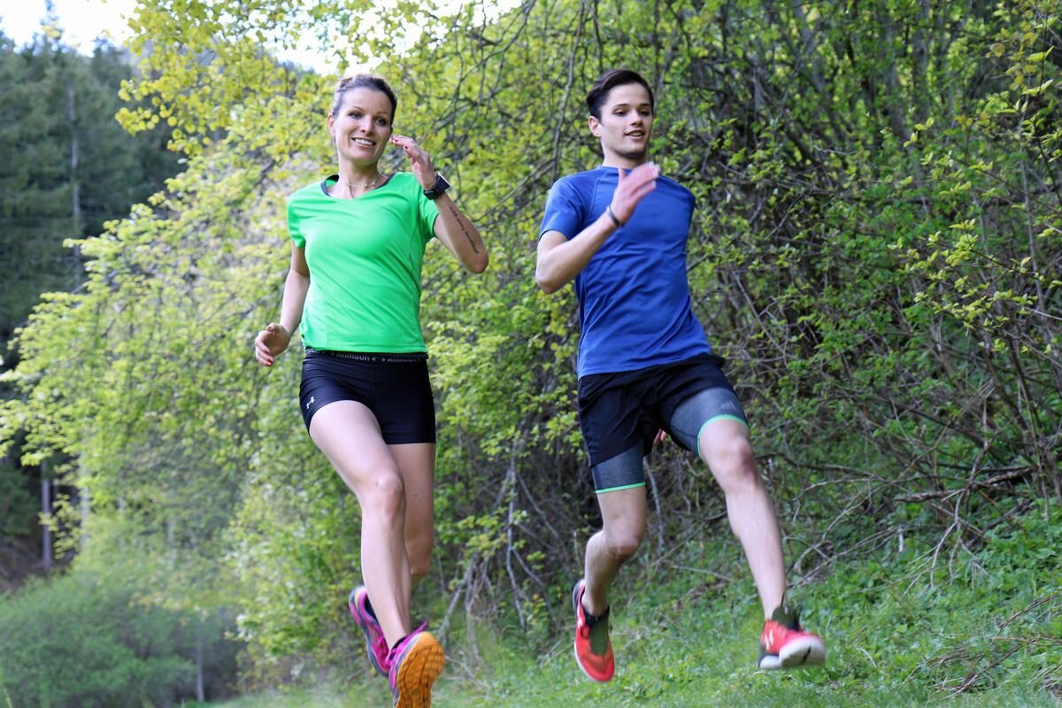
Running tracks
Rund um Pfunds
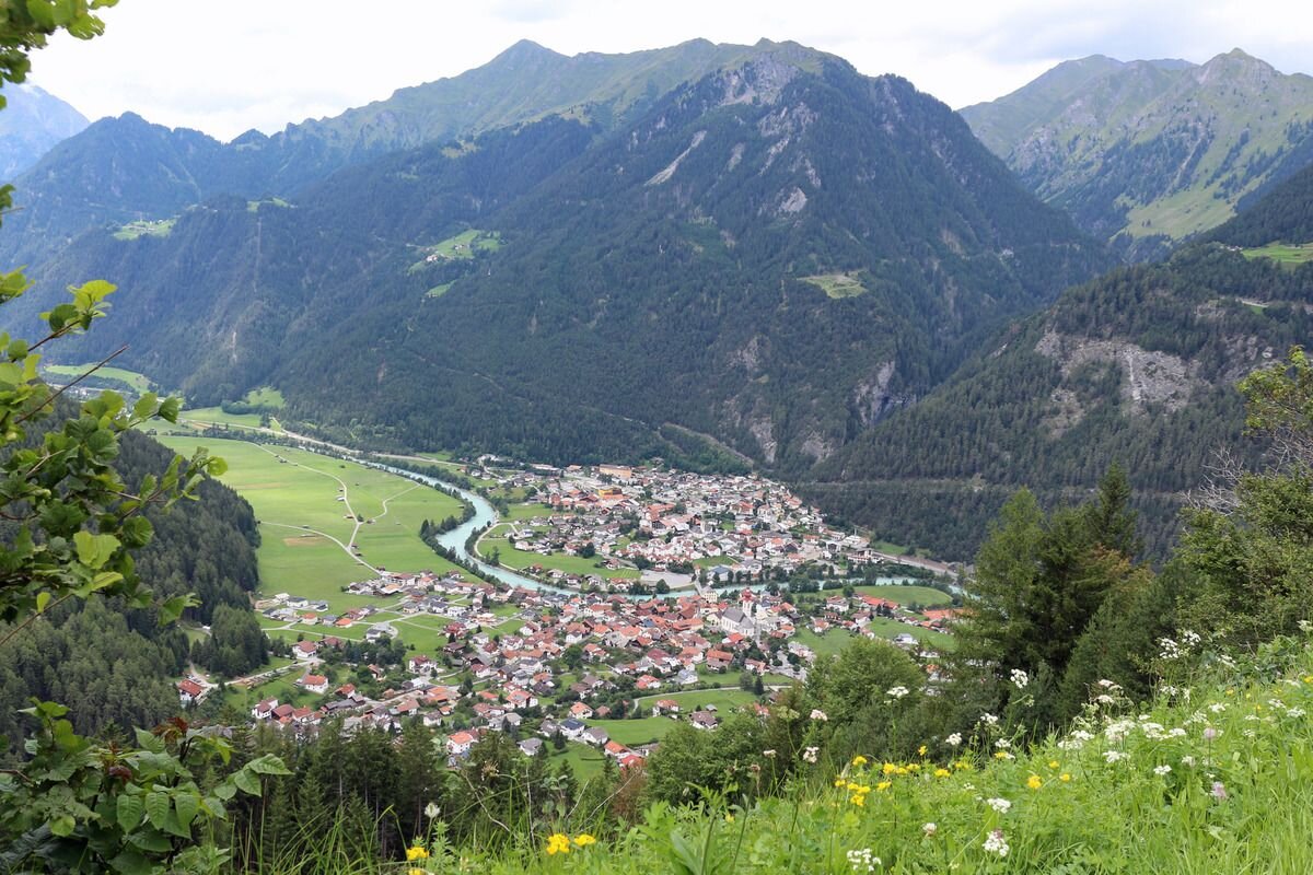


From the information office Pfunds, it is easy to enter the village - at Gschnofels / Gonde the trail leads into the forest. Follow this path to the end, keep left at the road junction and turn off into the forest again. Follow this path to the Radurschlweg, turn right at the timber yard and walk a short distance on the asphalt road to the bridge at the campsite. At the campsite follow the cycle path and then take the path on the right up to the main road. Cross the main road carefully and take the meadow path behind the car park towards the forest. Follow this path back to Pfunds - past the minifundus.
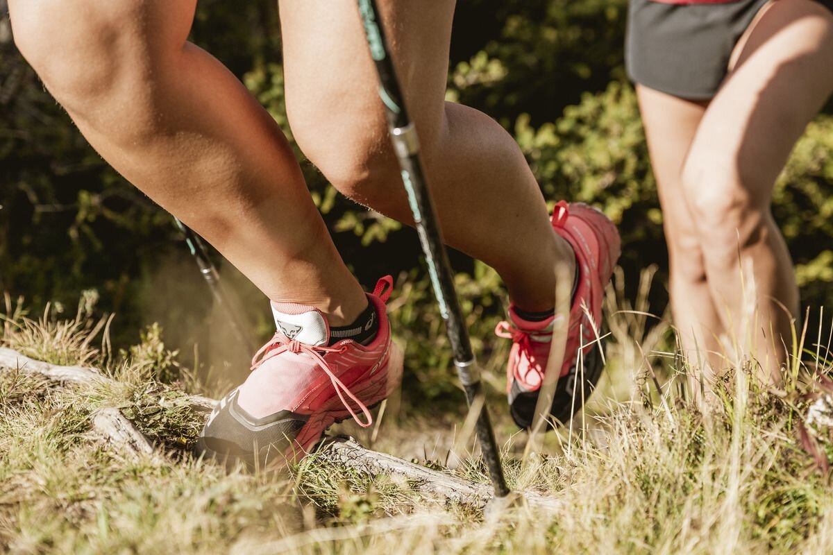
Variant: If you want to do it a bit more sporty: there is an outdoor fitness trail "Run.Forest" on this trail.
The path leads into the road towards Kobl, follow this road downhill for about 100 meters, then follow the road towards the wall uphill. After another 100 meters the path turns right again into the forest. Stay on this path. Above Birkach continue to Lafairs. In LAfairs, get back on the road and follow the road eastwards towards the main road. Cross the road again on the main road and follow the path westwards towards Pfunds. At Wiesenweg, follow the left-hand path and turn left there towards "Ochsenbühel". At the parking lot of the forest training area "Ochsenbühel" take the path on the right, then cross the Greiter Straße again and follow the Friedensweg back to Pfunds. From Haus Hofer keep straight on back to the village and to the starting point.
377m
17.5km
Highest point
1071m
Start point
Infobüro Pfunds
End point
Infobüro Pfunds


