Hiking tour

Wassertalweg nach Fendels

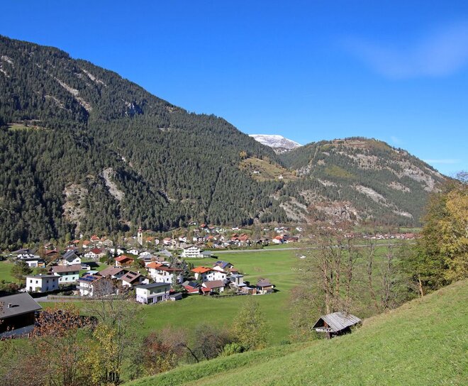
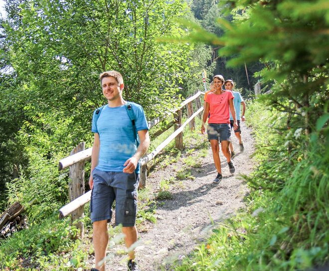
The path branches off to the left at the southern edge of Ried and leads across the long meadow. At the end of the long meadow you reach a farm, from there the path leads left to Hohlenegg, from there to the toboggan hut and uphill to the hamlet of Gfrans. After a few hairpin bends above Gfrans you enter a forest path. After some time you come to a crossroads where you follow the Wassertalweg in the direction of Ried. 
Tour details
5h
648m
10km
Highest point
1431m
Start point
Ried

Similar Tours

Hiking tour
Glockturm
For further information
908m | 4.9km
Begin: Parkplatz Weißsee
End: Glockturm
Hiking tour
Klammsteig - Radurschl - St. Ulrichs Chapel
For further information
351m | 2.67h | 6.7km
Begin: Infobüro Pfunds
End: Pfunds Dorf
Hiking tour
Perflkopf - Toarjoch
For further information
939m | 4h | 5.6km
Begin: Pfunds Wand
End: Toarjoch
Hiking tour
Ochsenkopf (2.153 m) und Fendler Alm (1.970 m)
For further information
425m | 4h | 7.1km
Begin: Sattelklause, von Fendels aus mit dem Sessellift erreichbar
End: Parkplatz Bergbahn Fendels
Hiking tour
Verpeilhütte-Kaunergrathütte-Riffelseehütte-Taschachhaus-Gpeatschhaus
For further information
Hiking tour
Plamortweg
For further information
356m | 3h | 6.7km
Begin: Bergkastel Bergstation
End: Bergkastel Bergstaion
Hiking tour
Farmhike Stables - Novelles
For further information
438m | 2.67h | 5km
End: Nauders
Hiking tour
Kaiserschützenweg - fortress variant
For further information
593m | 4.5h | 9.2km
Begin: Festung Nauders
End: Nauders