






















Hiking tour
Glockturm
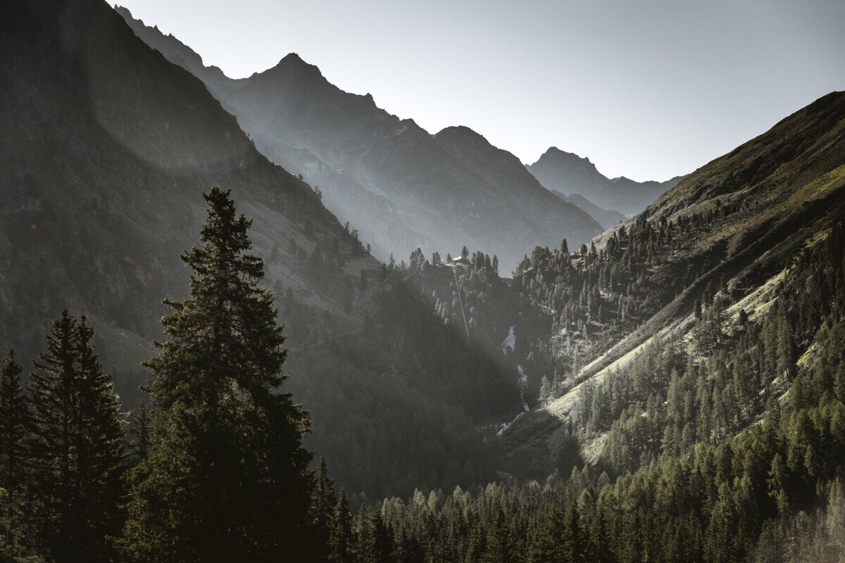
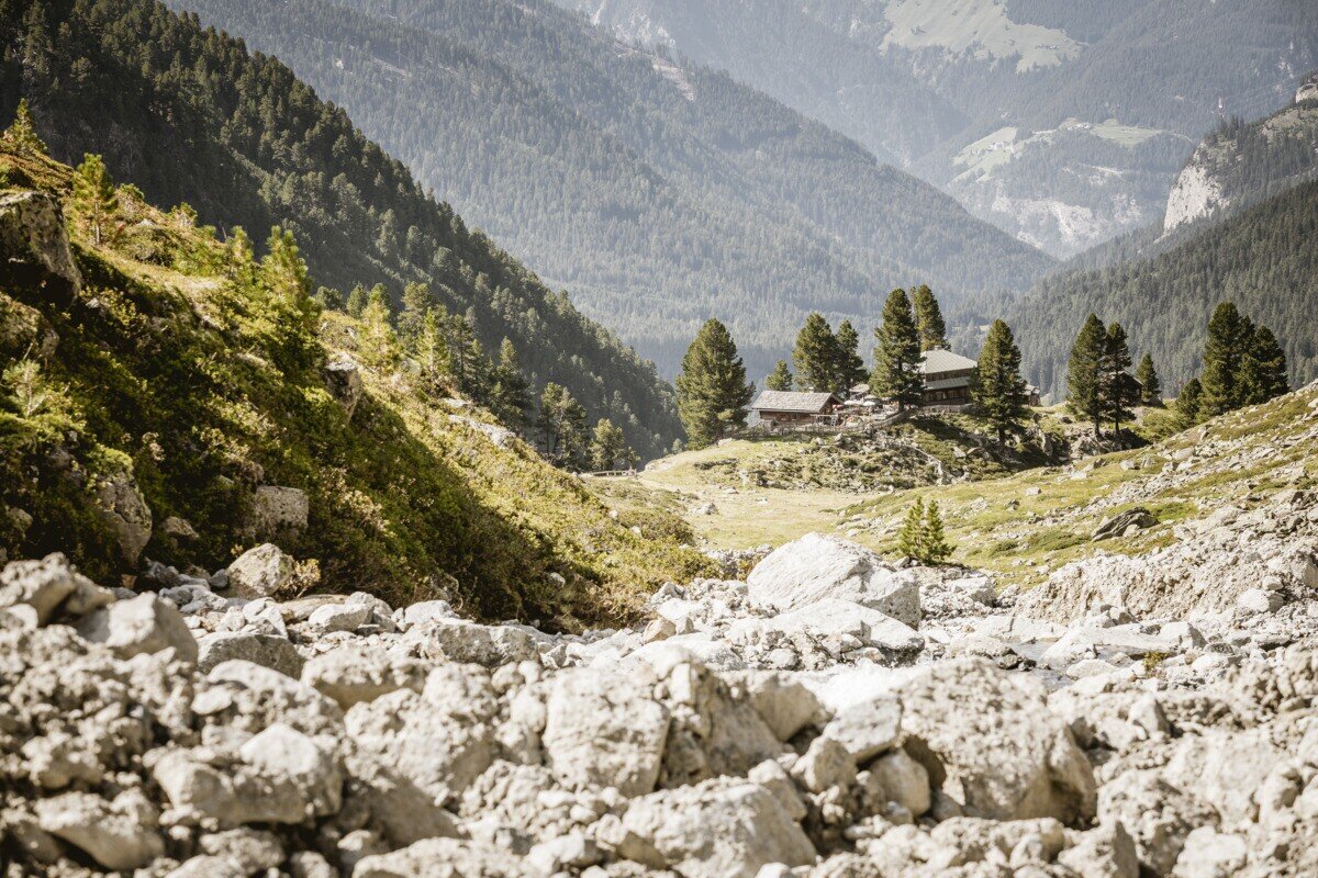
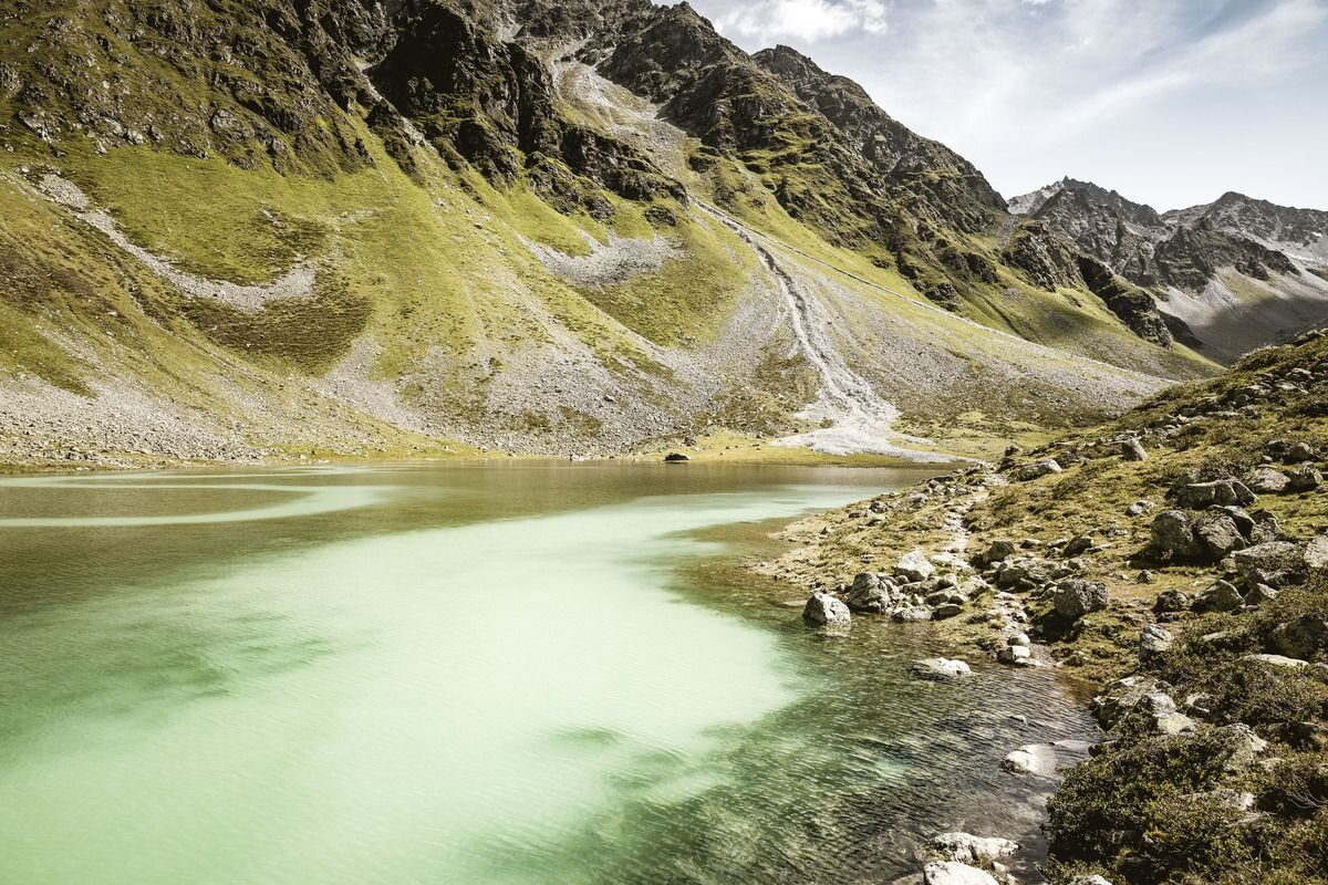


The route begins at Hohenzollernhaus in Pfunds and initially climbs along the right side of the stream. The trail then continues in gentle switchbacks to the left, gradually ascending to the Hüttenkar, a former glacial moraine. Below Bruchkopf and Rotschragenspitze, the path continues towards the Hüttenkarferner and onto the glacier (crampons and trekking poles are essential). After a somewhat steeper section, the route leads up to Riffeljoch at 3,146 m, where the neighbouring Kaunertal valley comes into view for the first time. From there, the route follows the north ridge up to the summit at 3,356 m, the highest point in the municipality of Pfunds. The summit offers wide panoramic views of the Ötztal Alps, the Ortler massif, the Bernina range, the Silvretta group and the Verwall group. The descent follows the same route.
tour2
7.5:4.8h
1142m
11.97km
Highest point
3260m
Start point
Hohenzollernhaus | Pfunds
End point
Hohenzollernhaus | Pfunds


