
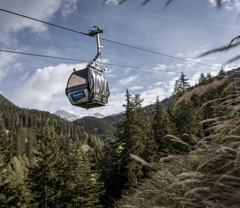






















Hiking tour
Schmalzkopf, 2.728 m
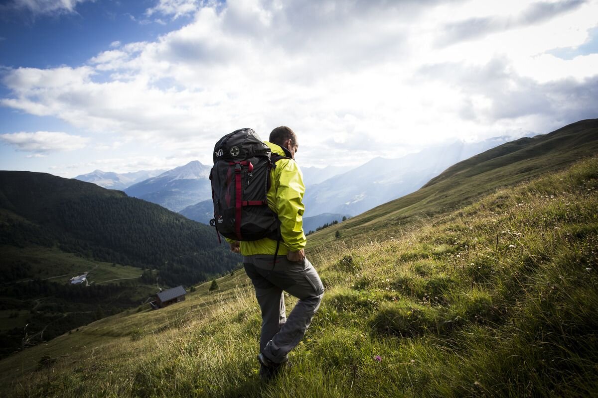
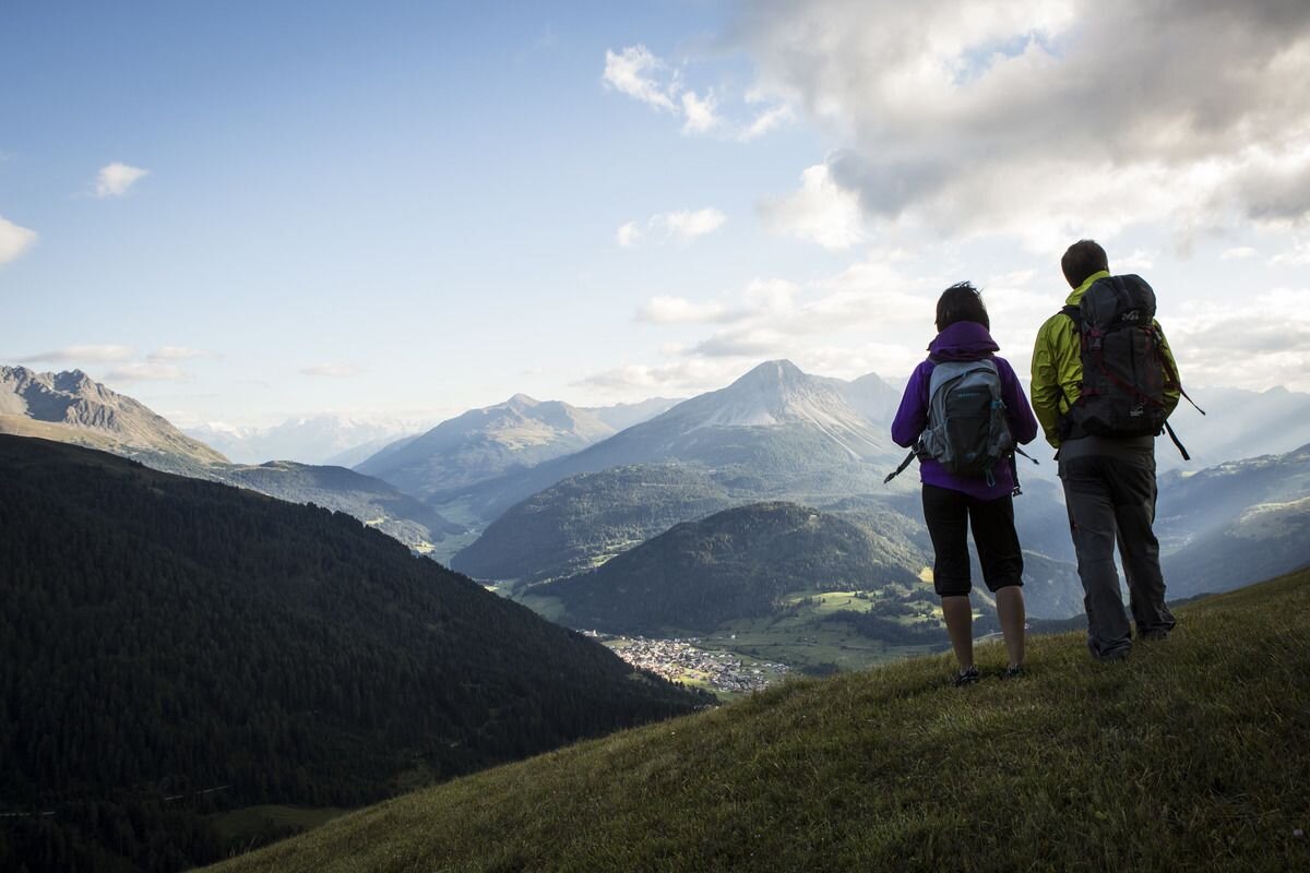


The summit tour on the “Nauders local mountain” starts at the parish church. Slightly above, the path “Munt” (no. 14a) leads across meadows in a northern direction. This ends in a narrow road, which you follow towards the Parditschhof or Labaunalm up to the snack station. From there the route goes over a wide forest path (No. 14), through the sparse forest, over a Tobel to Labaunalm. Continue along a road towards Schmalzkopf or Saderer Joch. At about 2,010 metres, a path branches off to the Saderer Joch (2,397 m). On a moderate incline the route goes to the summit of the Schmalzkopf (2,724 m) with a fantastic view, on nice days even to the Zugspitze. The descent follows the same path to below the Saderer Joch and along Route no. 14b northwest to the “Hochleger”. Then via Labaunalm and the Parditschhof (refreshments available) to Nauders (No. 15).
tour1
8:0h
1240m
16.5km
Highest point
2728m
End point
Nauders


