

















Hiking tour

Kreuzjoch | Hahntennen
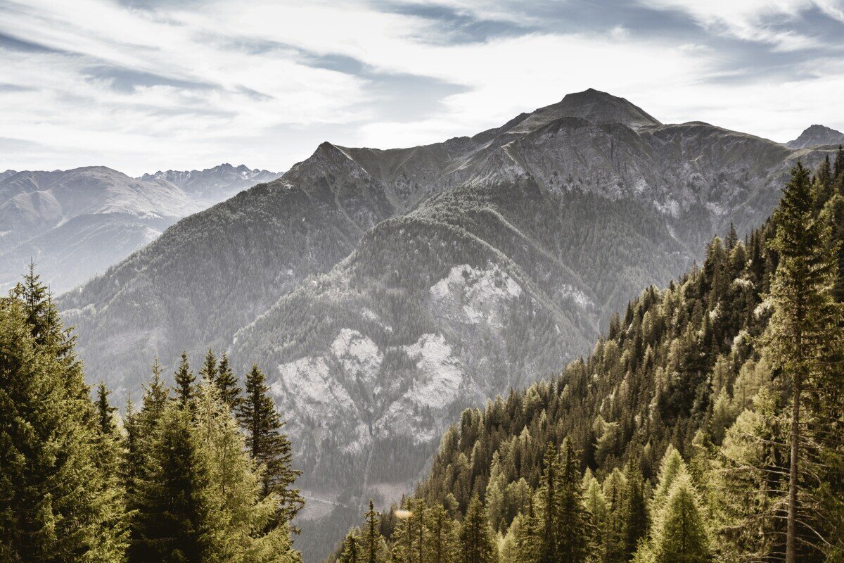
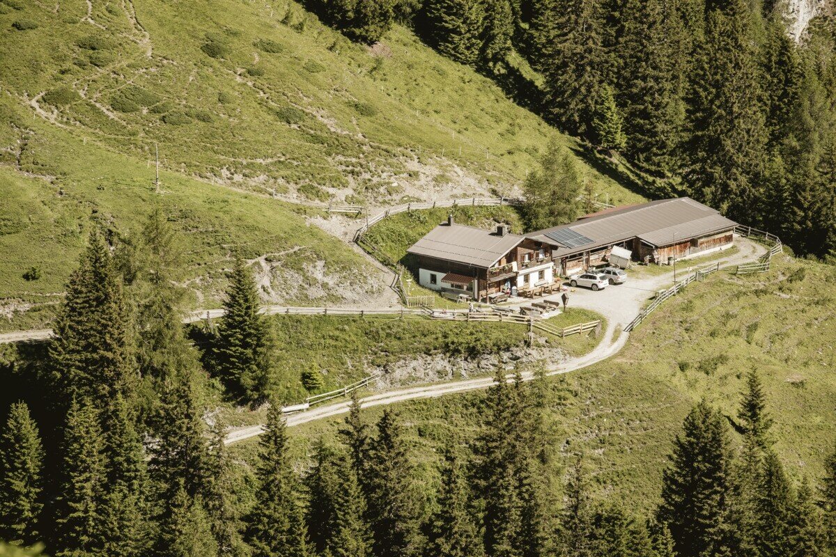
The tour starts with the drive up to Kobl and the parking area at Kobler Alm. From the parking lot, follow the road back for a short distance until trail no. 1 branches off to the left into the forest. This path leads through a short forest section and up to alpine meadows at around 2,074 m. Here you can admire a rich variety of alpine flora, including arnica and pasque flowers. At the same time, magnificent panoramic views open up toward the nearby Engadin and the Ötztal Alps. A narrow, ascending path then branches off to the right (caution when wet) and leads up to Hahntennenberg at 2,255 m. After a short break and enjoying the stunning views, continue along a gently rising ridge hike to Kreuzjoch at 2,698 m, where a breathtaking panorama of the Samnaun group and the Ötztal Alps awaits. The descent follows trail no. 21 via Kobler Alm and then continues back to the Kobler Alm parking area.


tour1
7.4:1.1h
1091m
12.87km
Highest point
2689m
Start point
Parkplatz Kobler Alm | Pfunds
End point
Parkplatz Kobler Alm | Pfunds

Similar Tours

Medium
478m | 4h | 8.7km
Hiking tour
Kaiserschützenweg - Selles variant
Begin: Gasthof Norbertshöhe
End: Nauders / Gasthof Norbertshöhe
Medium
1240m | 8h | 16.5km
Hiking tour
Schmalzkopf, 2.728 m
End: Nauders
Difficult
1692m | 13.6km
Hiking tour
Über das Wallfahrtsjöchl vom Kaunertal ins Pitztal
Begin: Parkplatz Wallfahrtskirche Kaltenbrunn
End: Eggenstall (St. Leonhard-Pitztal)
Medium
611m | 6h | 5.6km
Hiking tour
Piengkopf
Begin: Bergstation Bergkastel
End: Bergstation Bergkastel
Easy
280m | 2.75h | 2.2km
Hiking tour
Nassereinalm (2.040 m)
Begin: Gepatsch Stausee
End: Nassereinalm
Difficult
1631m | 8h | 15.5km
Hiking tour
Feichtner Karlspitze
Begin: Feichten 1287 m
End: Kalrspitze 2.918 m
Medium
973m | 6.75h | 9.89km
Hiking tour
Madatschkopf und Mooskopf
Begin: Parkplatz Verpeilalm
End: Parkplatz Verpeilalm
Medium
665m | 7h | 15.7km
Hiking tour
Mataunkopf (& Ganderbildspitze)
End: Nauders