






















Rundwanderung Ögghöfe


A scenic walk to the Ögghöfe cultural monument, set amidst a traditionally farmed cultural landscape.
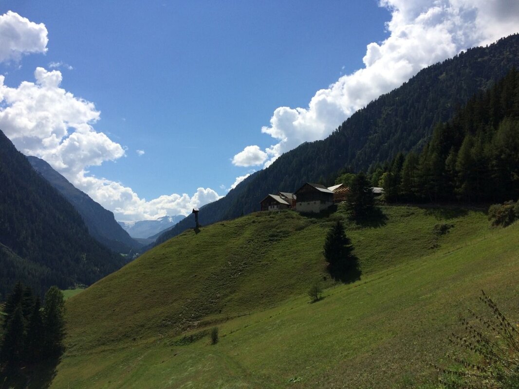
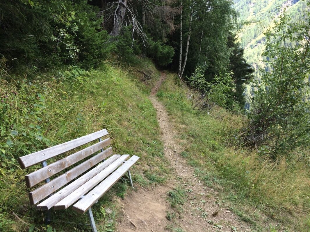
To walk ‘auf die Ögg’, you start at the car park by the Kaunertal Information Office or at the Quellalpin. The farms, with their distinctive cross, can already be seen to the south-west on the right-hand side of the mountain. You walk along the road, initially heading into the valley, and turn right at the fire station. After the bridge, follow the signs for the Nordic walking route and later the yellow trail markers towards the Ögghöfe. The path leads uphill along a forest track. After a bench with a wayside shrine at the prominent avalanche barrier, the path to the Ögghöfe branches off to the left. Shortly afterwards, you reach the old farmsteads, which were first mentioned in 1420 and are notable for their interlocking architecture.
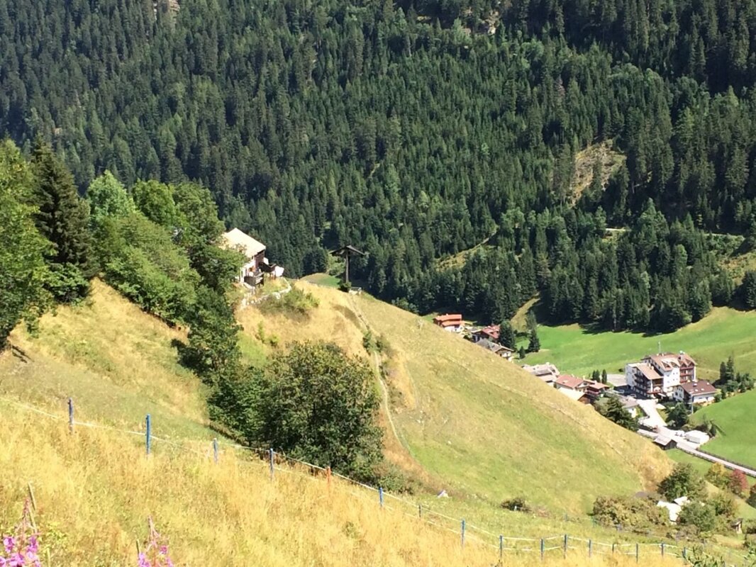
Several families had settled here and made their living from farming the surrounding steep fields. This cultural monument is set in particularly beautiful surroundings – with views of the 3,510-metre-high Weißseespitze to the south – and is now used as a seminar centre and holiday apartment. Those wishing to descend from here should follow the path below the farms, past the large wooden cross, and proceed via the Mairhof to the hamlet of Grasse; from there, take the valley walking path to the left back to Feichten.
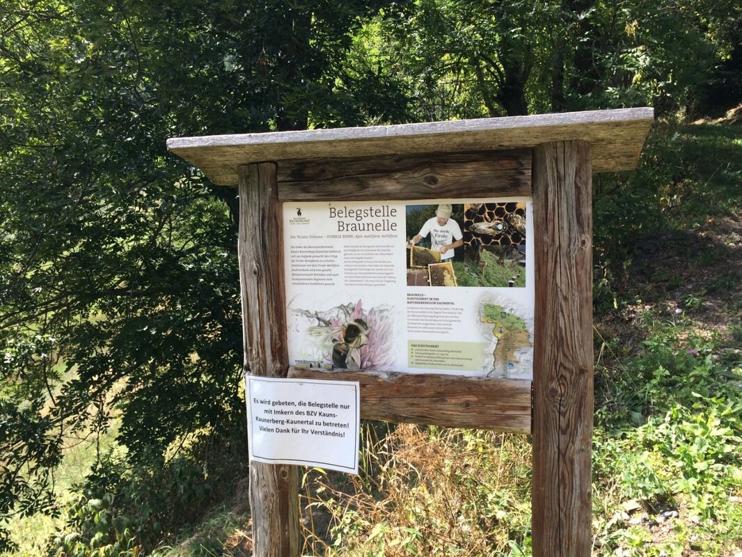
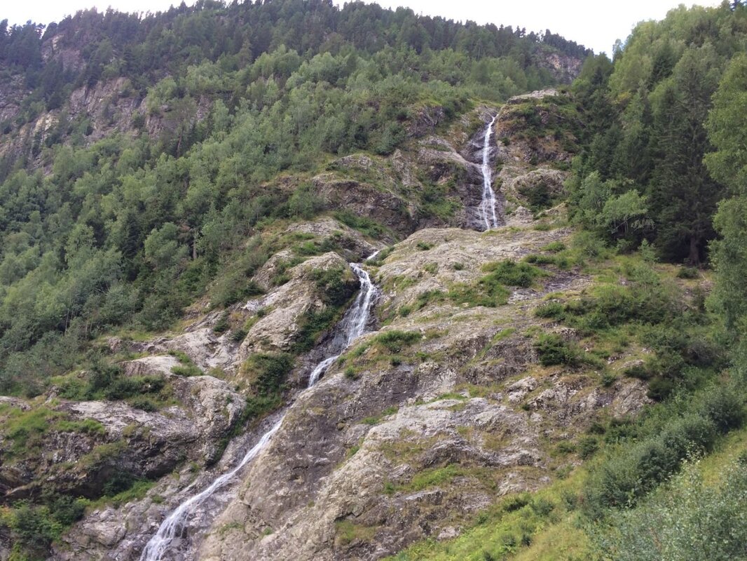
To reach the viewpoint at the Mairhofer Bach waterfall, walk between the Ögghöfe buildings and follow the signposted path. Behind the farms lies the mating ground of the Tyrolean native bee, affectionately known as the ‘Braunelle’. The honey bee is an ecotype of the dark bee, for which a special conservation area has been established in the municipalities of Kauns, Kaunerberg and Kaunertal. Please do not enter the mating ground!
Take the path that starts here to reach the forest track, which you follow on towards Wasserfall-Grasse. At the next hairpin bend, you’ll have reached the highest point of this circular walk. Here, the path branches off to the left from the forest track; follow it down into the valley and, at the next bench, you’ll have a lovely view of the waterfall. In a wooded area, you’ll eventually come across the junction leading to the Ögghöfen again, but continue down the path to reach the Mairhof. Now walk a short way downhill along the road to the next hairpin bend, where you turn left onto the valley walking trail. Passing through the lovely meadows, you’ll eventually return to the familiar path and reach the starting point in Feichten once more.


